Better Weather in Annapolis

OLYMPUS DIGITAL CAMERA

Just leaving the Solomons. The Patuxent River enters the bay in the distance. University’s research boat parked just to the right.

The weather was great for us in Norfolk. Not hot and a bit of wind, but still sunny and just a shirt was all I needed outside. Since we left Norfolk on the 4th it has been cold and windy, with highs in the low 60’s. We’ve driven from the top but kept the isinglass closed against the wind, which we were usually going into and magnifying a standard 20 – 30 mph wind to 30 – 40. The locals have been talking about some kind of front that we didn’t look into much more. We’re beginning to see less wind predicted a few days from now, and warmer temperatures a few days after that.

OLYMPUS DIGITAL CAMERA

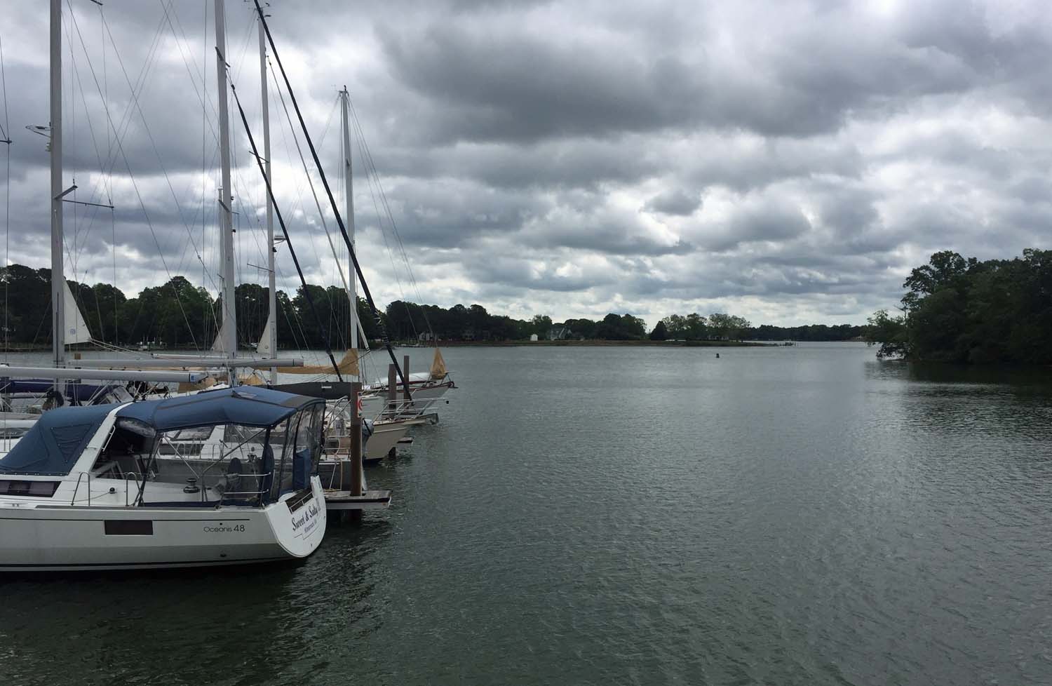
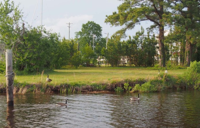
Part of the Solomons just before we left.

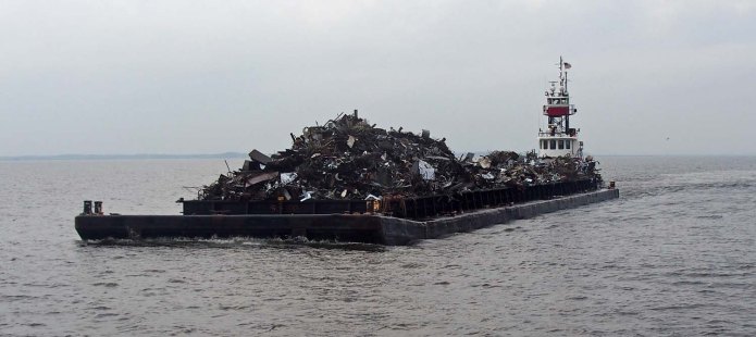
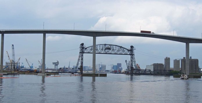
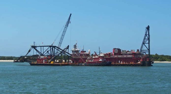
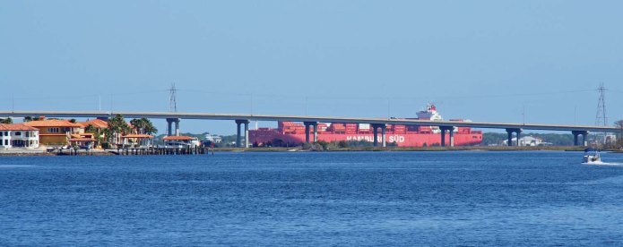
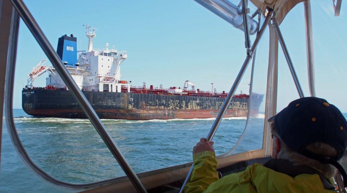
We left Solomons down the Patuxent river, which is much larger than the Indian river and navigable 30 miles up. During the depression Esso parked between 20 and 40 of their unused tankers here while awaiting a better economy. The bridge that crosses near here is 140 feet as opposed to the normal 65 foot maximum, so something big still goes up there.

OLYMPUS DIGITAL CAMERA

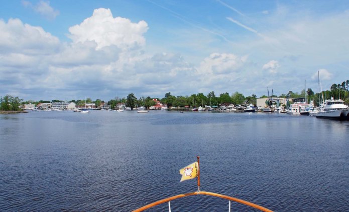
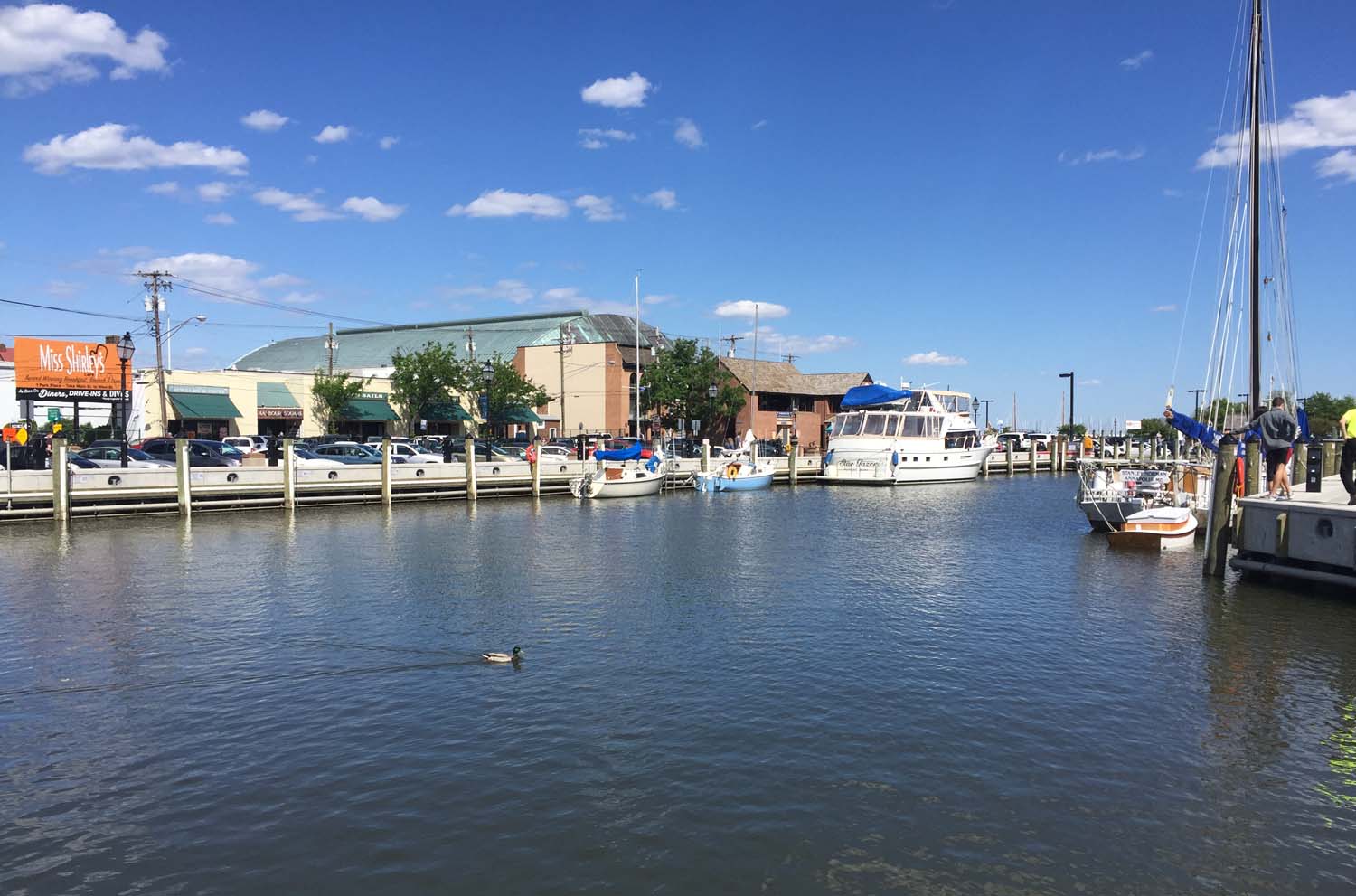
Ego Alley is empty all the way down when we got there at noon.

Today the waves were 1 – 2 feet all the way, with less but still significant wind against us. We arrived in Annapolis by noon and turned up the “Ego Alley” city dock basin. Ego alley is mostly first come first served and gets pretty full most days. Although we have been able to get a spot twice in the past we’ve shoehorned in between parked boats with just a few feet to spare. We were surprised this time to see it completely empty. No one was there.

NStateHouse

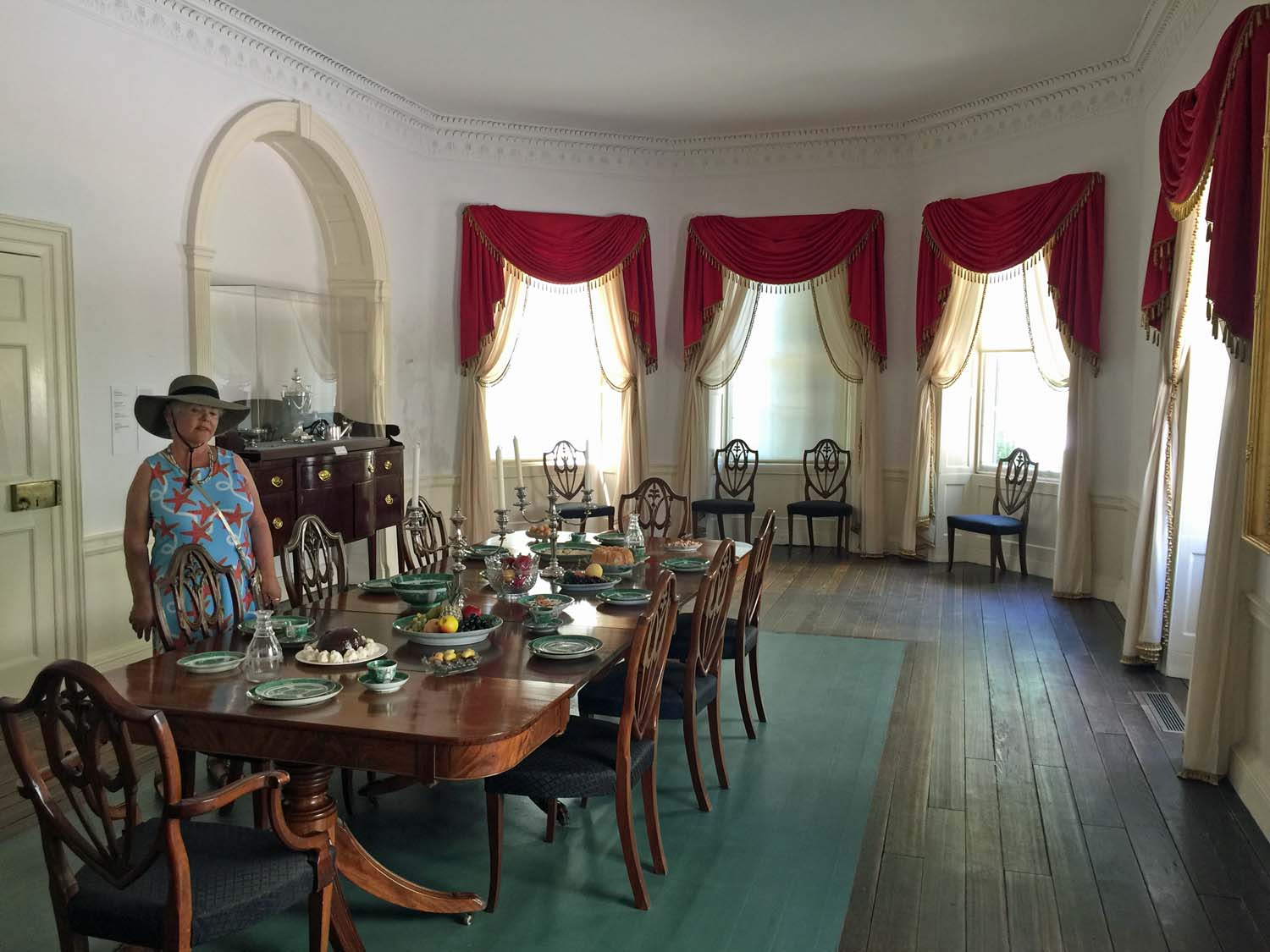
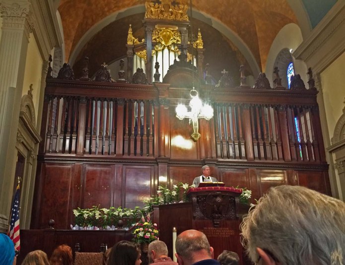
We visited the State House again.

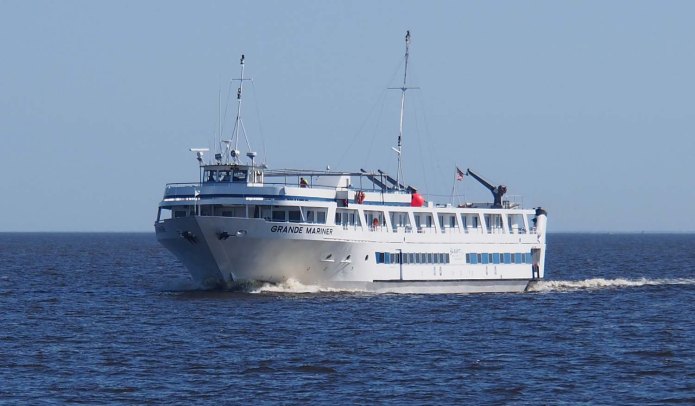
It should not have been a surprise. Traveling on the 4th we saw no other boats save large ships. On the 7th we did see one other power boat in the distance and a sailboat. Coming here to Annapolis on the 8th we saw 2 power boats and 3 sailboats, which like wind more, on our trip. No wonder we saw no one in Ego Alley. This is for short stays, not long dockage. Boats weren’t out traveling. A couple of sailboats did come in later, and today (the 9th) the wind has eased off considerably and the sky is clear, and the boats are back. There are still two spaces on the wall, but neither large enough for our boat.

NSGinAnnapolis

Two sailboats came in later. They’re little, but tough I guess.

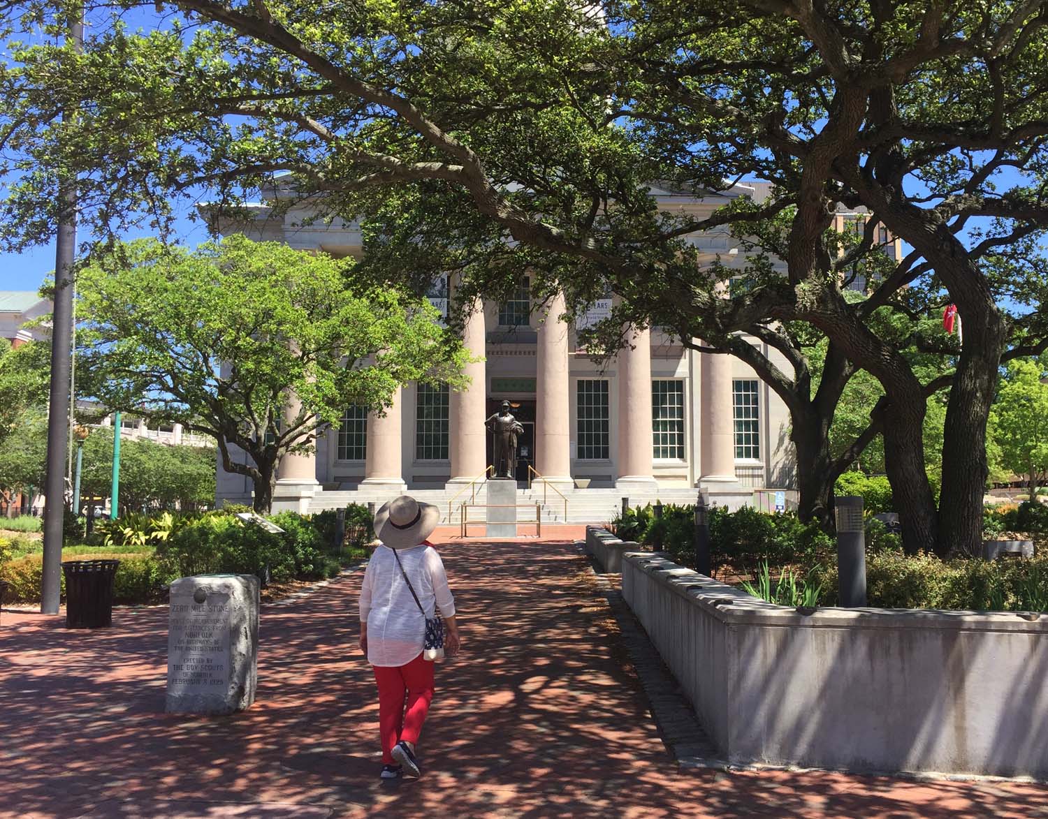
With better weather we have been walking around Annapolis, visiting a house museum we have not seen before and spending time on the naval academy campus.

Standard

Across the Potomac to Solomons

OLYMPUS DIGITAL CAMERA

Just leaving Kilmarnock before 6 AM, looking down the Indian River.

Indian creek was very calm as we left just before 6 this morning. Once we got out on the bay it was flat with no waves at all. The wind came up after 15 miles as we hit the mouth of the Potomac river. The rivers that run into Chesapeake bay are all very wide. It took us 12 miles to cross the mouth of the Potomac. The wind was from the northwest, same as the river, so it had more than a 20 mile fetch to kick up some 3 footers that hit us on the “port front quarter” as they say. Not such a bad place to take waves.

After we crossing the river mouth the wind and waves turned directly at our front, right down the length of the bay, so we hit the waves and crashed a little, but not enough to ring the bell. Our wind gauge was regularly showing 40 mph, which meant 30 mph winds. It has a way to show the maximum gusts for the day, which read 50. That was a lot of wind.

OLYMPUS DIGITAL CAMERA

Off the back of our boat just before we left Chesapeake Boat Basin. Sue likes a view where we tie up.

Awhile after we arrived at Solomons Sue happened to look up and noticed the dinghy cover was almost blown off. Only one of the 4 straps that hold it had come loose, but that was enough for two others to work there way up toward the dinghy front. The wind was less than 20 at the marina when she noticed that. Still enough to make it great fun getting that cover back on.

Sue still thought that trip was much easier than the one out of Norfolk, and I agree with her. Short trips are better in that kind of weather, so we got to Harbor Island Marina in Solomons MD by noon.

MBoardWk

The boardwalk. Locals said the big restaurant behind is popular with the younger set but pretty noisy.

It warmed up and the wind dropped more so we walked around a bit. Before Sue was ready I walked to the end of the peninsula and visited the University of MD Chesapeake Biological Center and watched a few videos of the various graduate student projects regarding bay ecology. One was measuring Methane trapped in the bottom sediment, another jellyfish populations, etc.

MSGatSolo

Harbor Island Marina is small and not so elegant, but its restaurant is good and highly regarded around here.

Sue and I walked up the peninsula visiting various shops along the way. This is quite a tourist area with a long boardwalk and many restaurants in our area. According to the locals the restaurant at our marina was one of the best, so we finally returned there for dinner, ordering two of their Tapas each instead of regular dinners. That turned out better than average.

Weather looking even better for a trip up to Annapolis tomorrow. 1 – 2 foot waves all the way. 10 mph or less winds predicted, but I think that is from the land. It has been easily 10 mph more than the land prediction (Weather Underground) out on the bay.

Standard

Still in Kilmarnock VA

OLYMPUS DIGITAL CAMERA

Sun just starting to show and reflect off a navy supply ship with destroyer further on.

The predictions stayed pretty much the same and we went ahead north to Kilmarnock. Two days later it now appears we can leave on Sunday after 3 nights here. The wave forecast is 1 – 2 feet with slightly rougher toward the end of our trip.

OLYMPUS DIGITAL CAMERA

Sun just up now and reflecting off the side of an unloading tanker.

OLYMPUS DIGITAL CAMERA

A forest of ships. Three super-carrier towers are in there but tough to see.

We had it smooth for almost an hour as we left the river, going by the naval base last. After that it was pretty rough much of they way here with 3 – 4 foot waves coming on our beam (side). When they say 3 – 4 that is an average. From time to time a few waves somewhat larger will come as well. When these hit we could start a pretty severe roll, but the stabilizers stop us on the way back. I don’t want to try that without them.

OLYMPUS DIGITAL CAMERA

We moved closer to the navy base to clear this boat.

The waves slacked off toward the middle of the trip and came back near the end, where the bay is 25 miles wide. The 20 mph wind was from the east and we were on the west side of the bay, which apparently gave the waves enough space to build up. When we turned west we still had 6 miles to the Indian creek inlet. We traveled with and nearly the same speed as the waves. That was a lot smoother. We surfed the waves a bit, our speed slowly changing back and forth between 10 and 12 mph. Chesapeake Boat Basin was 3 miles further up Indian creek.

OLYMPUS DIGITAL CAMERA

Super-carriers from left to right Eisenhower (69), George Washington (73) and the new Gerald Ford (78). No other nation has even one like these.

The wave forecast on the open ocean gives the period of the waves. If the period in seconds is more than twice the height in feet then they don’t rock & crash the boat so much, but just move it up and down easily. We’ve had friends out in the Caribbean in 18 foot high long period waves and it was no problem for them. They don’t bother giving the period of waves on places like the Chesapeake and Great Lakes. It’s always short.

This is the fourth time we have been in the Chesapeake and the only time we have ever waited for weather except maybe a day our second time. This is the earliest in the season we have been here. Maybe it gets better next month?

LIndianRiver

Looking back down Indian Creek from the marina. Weather not good.

LChesBoatBasin

We’re usually out at the end, often on a T head. Sue likes a view.

Not a lot here, but there is a borrow car that we took the 2 miles into downtown Kilmarnock (pop. 1200). Yesterday we restocked at the Food Lion store and this evening we went back and had dinner at a Thai restaurant.

Next stop is Solomons. So far the next day looks good also, so hopefully we’ll push on to Annapolis.

Standard

Downtown Norfolk


KSueHunterHse

Sue in the side yard of the Hunter house.

Tonight is our sixth and last night in Norfolk at Waterside Marina. It will take an hour to get out on the main bay, then the prediction is 3 – 4 foot waves for the 2 hour trip past the Chesapeake entrance where we’re exposed to the Atlantic, and then 2 – 3 foot waves afterward as we go up to Chesapeake Boat Basin in Kilmarnock VA. It probably gets worse a day or two after that, so we may stay a day or two extra in Kilmarnock.

The prediction got a bit worse tonight as opposed to last night. If it gets any worse tomorrow morning we’ll stay here instead.

KMethChurch

Epworth Methodist Church. 

KInsideChurch

Inside the church. A few more came, but pretty sparse.

It’s been great to be right downtown Norfolk. We have been able to walk everywhere except for the Naval base tour and the Chrysler Museum, and the museum was pretty close.

We were thinking of attending the oldest (Episcopal) church in Norfolk, but as we walked to the old town we noticed an old tower sticking above other buildings. It looked almost haunted. On closer inspection what it needed most was a good cleaning and maybe some paint on non masonry parts. The tower belonged to the Epworth Methodist church that was built in 1896. We went there on Sunday. The attendance was small for such a large church, and the large organ unfortunately was little used. I guess if it had a larger congregation they would have cleaned up the tower?

KElectroCardio

Early electrocardiograph. The son was a cardiologist trained at Harvard. He had an office in this room.

After church we walked a block to the Hunter House Victorian Museum. This was built in 1894 by a merchant for his wife, son and two daughters. Turns out none of the children married, all remained in the home and the last daughter donated it to the city when she died in 1965. Everything was still as it was when the family lived there.

After that we walked to the Moses Myers home. This house underwent its first major restoration in 1892. Moses Myers was a prominent Jewish merchant and for a while the richest man in the US. The family remained prominent in Norfolk for many years. His grandson sold the Norfolk Naval base land to the government and his great grandson Barton Myers was mayor of Norfolk.

KMosesHse

Sue in the dining room of the Moses Myers house.

We last visited the Willoughby Baylor home, built in 1794. This has been converted into a small history museum for Norfolk. After this we were just across the street from the Episcopal church, the oldest building in Norfolk. We went there to find the first (of 5) entrance we tried, the one from the churchyard (cemetery) had been left open, probably inadvertently since all others were locked. Anyway we went on in and looked around. We found the cannonball that lodged in the exterior wall from the Revolutionary War.

KMacArthur

I already knew something about General Douglas MacArthur before, but know a lot more since visiting here.

We visited the Naval base on Monday and the MacArthur museum (learned a lot there) on Tuesday and the Chrysler Museum of Art (and glass) on Wednesday. Where would we be now if that disagreement between MacArthur and Truman had gone the other way? How many more might have died back then? Tough decisions.

Standard

NATOFest

JChoirInStreet

Many of these kids were down by the boat when we got up. They sang across from the reviewing stand just before the parade started.

Last night we walked over to MacArthur (shopping) center where I spent time in the Barnes and Noble while Sue looked elsewhere. This is a reasonably upscale place since it has an Apple store. We ate at a Chili’s there, which we swore off from a decade ago. They have a different menu now and it was pretty good.

OLYMPUS DIGITAL CAMERA

Albania was the first NATO member in the parade.

We got up today (Saturday) and there were about 100 high school kids wearing the same shirts sitting around on the dock and seawall just across from our boat. A great many more people were 500 feet away along the main street. A number of them were military types and told me that the NATOFest parade started at 10 AM. Those kids by the boat turned out to be about half of a big choir that performed in front of the reviewing stand just before the parade. I went back, told Sue and got my camera and we were off to NATOFest.

OLYMPUS DIGITAL CAMERA

Patrouille de France, the “French Blue Angels”, flew over as the parade began. They performed just after it ended.

I found a good picture taking spot standing alongside a guy from the Romanian embassy in DC. We were about 100 feet up parade from the reviewing stand with all the military brass, so all the participants were on their best behavior. Sue found a good chair nearby sitting by some long time Norfolk people who gave her more information about everything. The parade lasted 1½ hours. It had floats from all NATO countries with marching soldiers from many. It started with Albania and ended with the USA, since alphabetically we’re last.

There were a great many high school bands. I think the largest was from Beaver Creek with just short of 400 members. Pretty impressive in their uniforms with the big white hats, but the front part was so far from the rear along the parade route that by the time the last of them passed I could not be sure they were all playing the same song. We talked to some band members later as they left the Nauticus Museum gate. They wore the same orange shirt. It took three lights for all of them to get across the street.

OLYMPUS DIGITAL CAMERA

It’s not UK this early. It’s Canada.

After the parade all the NATO countries, along with the US command and several other military outfits, had tents set up in the park next door. We collected a lot of brochures for travel to places we have not been. On our list are Bulgaria, Croatia, Estonia, Latvia, Lithuania, Romania and Slovenia. I don’t know that we can get to all of these, but we do hope to spend quality time in some of them in the next 10 years.

OLYMPUS DIGITAL CAMERA

The countries, interspersed with high school bands, Shriners, corvette clubs, model T clubs, Volkswagen clubs (before Germany), you name it came until Turkey, UK and USA.

NATOFest ended at 3, so we returned to the boat for a short rest and walked over to the Freemason old town area. The old homes on Freemason street were the high point, and we walked the entire street. We came back on the more commercial next street over and ended up at the Freemason Abbey restaurant. They named it that because it is in an old church. Several people we ran into on the street recommended it and it was great.

JTents

About half the NATO country booths. Tower showing toward right is the Battleship Wisconsin.

JFreeMasonSt

Starting down Freemason Street in the Norfolk old town.

We ended the night walking back to the boat. The best part of all of this is that with all that walking, Sue’s new knee is doing really great and she walks as good as ever. You’d think she was a normal person.

Standard

Travel to Norfolk

OLYMPUS DIGITAL CAMERA

Under a bridge a few miles north of Beaufort. Our view is different than the cars above.

We left Beaufort NC around 7 with 200 miles left to go on the ICW to Norfolk. Along the way we stopped at Belhaven Waterway Marina, Alligator Marina and Coinjock Marina, all in North Carolina.

OLYMPUS DIGITAL CAMERA

Geese directly across the lawn from our boat at Belhaven

OLYMPUS DIGITAL CAMERA

Along the canal connecting the Pungo and Alligator rivers out of Belhaven.

We always enjoy the town of Belhaven, although Spoon River, our favorite restaurant was closed on the Tuesday we were there, so we just ate on the boat. Our Wednesday stop was Alligator Marina. It and the long drawbridge by it are the only things in the area other than a large game reserve. They do have the lowest fuel prices for a long way in either direction, so while we weren’t close to empty we filled back up anyway.

OLYMPUS DIGITAL CAMERA

Tied up at Alligator Marina. The long bridge is just behind the boat.

OLYMPUS DIGITAL CAMERA

Leaving Alligator Marina. Along the bridge until we get to the channel.

OLYMPUS DIGITAL CAMERA

Just getting into Albemarle Sound we pass a small ICW cruise ship.

Coinjock Marina was our Thursday stop and our last in North Carolina. It’s pretty remote, with the tiny town of Coinjock is on the other side of the canal. People drive for miles to eat at their steak house restaurant, and we don’t miss that when we’re here either.

OLYMPUS DIGITAL CAMERA

Scrap metal just north of Coinjock. There is some commercial traffic along this waterway, but not a lot.

OLYMPUS DIGITAL CAMERA

Old rail drawbridge is normally up unless there is a train. Wonder if it still works.

Friday out of Coinjock we had some rain early on, which cleared up and we then had three scheduled drawbridges. The first two were every half hour and 5 miles apart, so we could go through the first and be just in time for the second a half hour later. The last one, the Great Bridge, is every hour. A lot of people ended up waiting for that, so 8 boats went through it and into the lock just beyond. We were fourth in, but had our big ball locking fenders kicked out, so we went starboard and tied up along the concrete side and let the others bounce on the rubber bumper side.

OLYMPUS DIGITAL CAMERA

We let these guys have the rubber side.

OLYMPUS DIGITAL CAMERA

Already well into Norfolk, but not to the navy area yet.

We arrived at Waterside Marina Friday at 1:30. This is our first time docking in Norfolk. When we first came this way with Paul and Sharon we were across the river in Portsmouth and more recently we were 12 miles north of here in Hampton. Norfolk is the most downtown of all of these and a chance to see a lot more of the city.

OLYMPUS DIGITAL CAMERA

Supercarrier across from our marina. Think it may be the Enterprise, being decommissioned.

Standard

Rained In

OLYMPUS DIGITAL CAMERA

Just after left Swan Point Marina and approaching Marine Camp Lejeune. A remote area used for live firing, but not on weekends.

We have had remarkably good weather luck in our 3 boating years. Weather has hardly ever been bad enough to stop us from traveling, even on the open Atlantic. The only times we really waited were a week and a half to go over to the Bahamas. That was the longest, but we did not wait at all to return 340 miles from West End to Brunswick GA. We waited a week for weather to cross Lake Michigan to Chicago. That’s when we visited Detroit, the Henry Ford Museum and auto assembly plants.

OLYMPUS DIGITAL CAMERA

Onslow bridge at the Marine base opens every half hour. Looking back after we passed through at 7:30.

Anyway, the weather was rainy enough this morning in Beaufort NC that we decided to stay another day and leave Tuesday. While all our travel is on the ICW and we don’t need to worry about poor visibility so much since no on else will go out in this weather, I’d get completely soaked just untying the boat to get us started. Tomorrow appears not so rainy although we’ll have some.

OLYMPUS DIGITAL CAMERA

Homes along the NC ICW about 14 miles west of Beaufort.

I’m installing a backup water pressure pump, taking advantage of the clean rainwater to clean of the isinglass up top, charging the dinghy battery and doing various other maintenance items. Sue is doing a few wash loads and reorganizing some of our storage.

OLYMPUS DIGITAL CAMERA

ICW opens up as we approach the shipping channel ahead. Morehead City NC to the left. Outer Banks to the right.

OLYMPUS DIGITAL CAMERA

This dredge is at the right in the previous picture. It hooks to a huge pumping platform visible out in the ocean.

We had uneventful trips up from Georgetown stopping at South Harbor Village Marina 3 miles short of the Cape Fear inlet junction. Next we stayed at Swan Point Marina, where we had a memorable stay on our first trip up with Paul and Sharon. In 3 years it has had a management change, maybe two, and is getting cleaned up and just a little more normal. Not as interesting as before. Apparently all the low rent district boats have moved on.

We finally arrived at Beaufort Docks Saturday the 22nd. Beaufort is very old with a number of homes built before 1776, very touristy and a favorite stop. Sunday we attended the First Baptist Church 2 blocks up from the boat. Since we are close to Morehead City which is the last even medium sized town until we hit the Chesapeake, we took Uber to the big Harris Teeter supermarket there. We waited 20 for Uber to come. Our previous record was 6.

HMarch

Earth Day (or Science Day?) march in Beaufort. Just caught the tail end. Doubled as an anti Trump rally.

HAtMarina

Star Gazer along the boardwalk in Downtown Beaufort NC. Marina surprisingly empty, but town is busy.


Standard

A Fine Foggy Morning

OLYMPUS DIGITAL CAMERA

Leaving our marina at 7 AM.

First light is now 6:30. The fog was so thick we waited to start until 7 when everything was white with about 300 foot visibility. On the way out the moored sailboats appeared on the radar well before we could see them, and radar delineated docks and river banks matched up well with the charts, so all the instruments we needed appeared to be working well.

OLYMPUS DIGITAL CAMERA

We knew they were out there, but didn’t see them until they got close.

We quietly glided along at 6 mph raised 1 mph by a following current. The wind was with us so it was dead calm on the boat. The ICW at Georgetown is a natural inlet/river about 1500 feet wide, so we could not see the banks except on the radar. It was a very peaceful and enjoyable voyage now that we’re more used to this sort of thing. I did have to slow down as we approached a bridge so I could make sure where the pass through span was.

This area is more remote than most, so there were only a few small fishing boats that the radar easily picked up. We didn’t see them except for two who passed close enough to our side. We sounded the horn at a half mile so they knew we were around, and would give them another toot only if it they would have come close to our path forward.

OLYMPUS DIGITAL CAMERA

After an hour and a half both the ICW and the fog thinned so we could see the banks.

The fog started to thin around 8:30. By then the ICW averaged 800 feet across and we could just make out trees on its banks. Both chart and radar warned us about a couple of small marinas whose docks stuck several 100 feet out from the banks, and the day markers and buoys on the chart matched with what the radar showed. By 9 it was pretty hazy but we no longer depended on the radar and by 10 we could speed up and had a clear but overcast day. By noon it was a nice sunny day with a cool breeze.

OLYMPUS DIGITAL CAMERA

Passing through a small NC town. Note the sunk fishing boat in the picture center.

As we entered North Carolina we saw more development along the ICW and passed larger populated areas, like Myrtle Beach. I probably would not go out in a thick fog in areas like that.


Standard

Open Atlantic to Georgetown

OLYMPUS DIGITAL CAMERA

We brake for fisherpersons. A two foot wake coming at him while standing could ruin his day.

The waves and weather looked good the night before we left St Augustine, so we planned to go north on the open Atlantic. The coasts for Georgia, South Carolina and the south coast of North Carolina have several usable inlets, so we would normally not be more than 25 miles from a way back in if we needed it.

OLYMPUS DIGITAL CAMERA

More waterfront development as we near Jacksonville. Private docks along the ICW.

St Augustine has an inlet, and if we knew the local waterways and the tides were with us we could have used that. It was safer to go 50 miles north on the ICW to the St John inlet, the large ship channel into Jacksonville. Morningstar marina is on the St John river a few miles before the inlet and had decent fuel prices. We got there around 11:30, tanked up and were out of the inlet just a few minutes after noon.

OLYMPUS DIGITAL CAMERA

The view ahead. A good indication we’re getting near the shipping channel.

On the way the pilot of a large tanker called me on the radio. He was on my tail and I needed to get out of the way. I should have remembered to have the back camera on so that sort of thing does not take me by surprise. We go 10 mph but large ships can go up to 20, although they usually keep it down to 15 mph or less in harbors and channels. They can quickly overtake us. Anyway we quickly moved over to the side of the channel where we probably should have been in the first place.

OLYMPUS DIGITAL CAMERA

We need to stay out of the center. This is the boat that came up behind us.

I wanted to go 400 miles to Beaufort NC. That would take 40 hours, getting us there at 8 in the morning after two nights on the water. Two nights would be pretty tiring and the predicted wave heights were not good up there anyway. We decided on one overnight, 30 hours, to Cape Fear NC. We’d reach the inlet at 6 PM and there was a marina just a mile into the inlet that would be easy to get into in the dark if necessary.

OLYMPUS DIGITAL CAMERA

Coming into the Georgetown harbor. Keep right of the moored sailboats and dock just before the 3 story condo to the left.

The trip turned out OK, but it did get rougher than the predicted 2 foot waves for a few early morning hours. The waves had to be 4 feet at least; many were breaking over the bow which is 6 feet. That was during Sue’s watch. After I took over at 3 AM conditions gradually improved. Still, I decided to cut it short and go to the Georgetown SC inlet for a total of 24 hours of travel, so we entered the inlet at noon the next day. The biggest problem when pitching from larger waves is that it requires a bit of arm strength to get up and move around the boat without falling. Not the easiest thing for Sue but she was a lot better with it than I expected.

Georgetown is 18 miles from the inlet mouth, but most of that is to the north which was the way we wanted to go. We can get to Cape Fear in just one more day of travel on the ICW.

OLYMPUS DIGITAL CAMERA

Looking back from our marina in the evening.

We’ve gone from St Augustine to Georgetown both ways several times on the ICW and it always required 7 travel days. Our outside adventure took two days and got us in in plenty of time to go out into town and still get a little extra sleep to make up for last night.


Standard

St Augustine Again

EChurch

Just back from a great Easter service at Memorial Presbyterian. We wished Troy was still with us. He had taken an interest in pipe organs awhile back and had me play various YouTube videos of performances. Amazing how things like that hold his attention. At the Lightner museum music box demonstration he noticed one large instrument that was an old automatic organ using pipes and asked to have it demonstrated. The organ at Memorial has to be one of the finest in a protestant church in the US. I know Henry Flagler spared no expense when he had the church built in the late 1800’s. With all our modern electronics we still can’t come close to the sound made by an organ like that. Hearing in via YouTube is nothing like being there, and that’s with my hearing! It would have been some experience for Troy. Next time.

We have been doing a bit of cleaning and reorganizing the boat since our guests left, putting a number of things away until our next young visitor should come. We have also walked a lot around St Augustine. The weather remains ideal. A light breeze and just warm enough.

This morning just before leaving for church a large manatee was grazing just a few slips down. All we could really see above the surface was his back, but there was six feet of that. He was there a few minutes before easing under the dock and away.

We’ve had crazy fish again and a 2 video links of them follow. This time hundreds of foot long catfish surfaced along the dock just in back of our swim platform. At the same time foot long Crevalle Jacks were thrashing about the surface after the same small fish that attracted the catfish. You could easily grab a catfish out and see how full it was from what they were eating.

ECrab

This pregnant crab was on our power cord for hours.

I know these fish facts because the activity attracted the marine ecology classes from Flagler College just up the street. Apparently our area was the hot spot and I attended the mini lecture on the dock in back of our boat.

If that were not enough, the fish woke Sue the night before last. I left the stern underwater lights on which attracted many large (2’ plus) fish which were swimming around between the back of the boat and the dock at 3 AM. Now and again something larger would charge through, scattering the other fish, some of which must have banged against our bedroom wall (back hull). I did get up to take a look, but didn’t take a video until 10 tonight. Same sort of thing, but not as big.

Standard