Our Last Trip

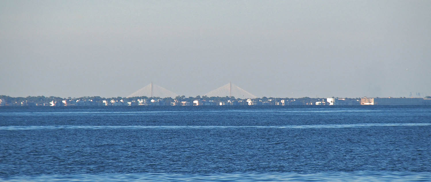
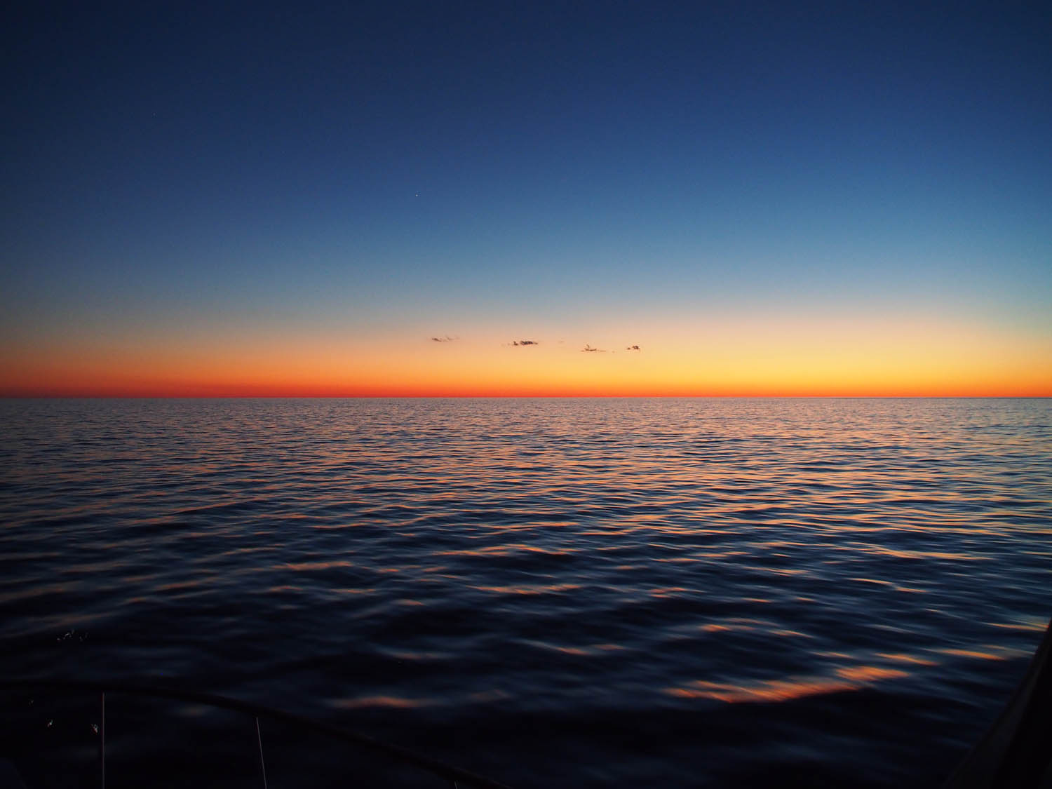
Our last trip. At Sunset we’re past Charleston but won’t be at Savannah until mid night.

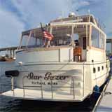
When we started boating in 2014 we knew very little. We outfitted Star Gazer for unknown passages and unknown harbors, adding things we didn’t need and leaving out things we had to add later. Now we know what to do. Now the boat is outfitted the way we need it. We have been everywhere we wanted to go on the water, several times to our favorites. Now that we have made Star Gazer into the ideal boat for us we’re stopping boating and selling it.

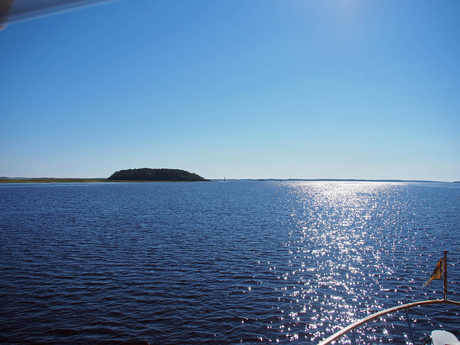
The sun is well up on Sunday morning and the seas remain flat with great weather.

Sue found Star Gazer for sale at the St Petersburg boat show around the end of 2013. She fell for the “galley up” design where she would always be part of what’s going on in the salon, the main room of the boat. She liked all the convenience and size of the interior rooms. I found that it would do the loop, although it went deep enough and was tall enough to just barely make it in some areas.  It was probably the best purchase we ever made.

Our first boating year, before the loop we did the Dismal with Paul & Sharon.

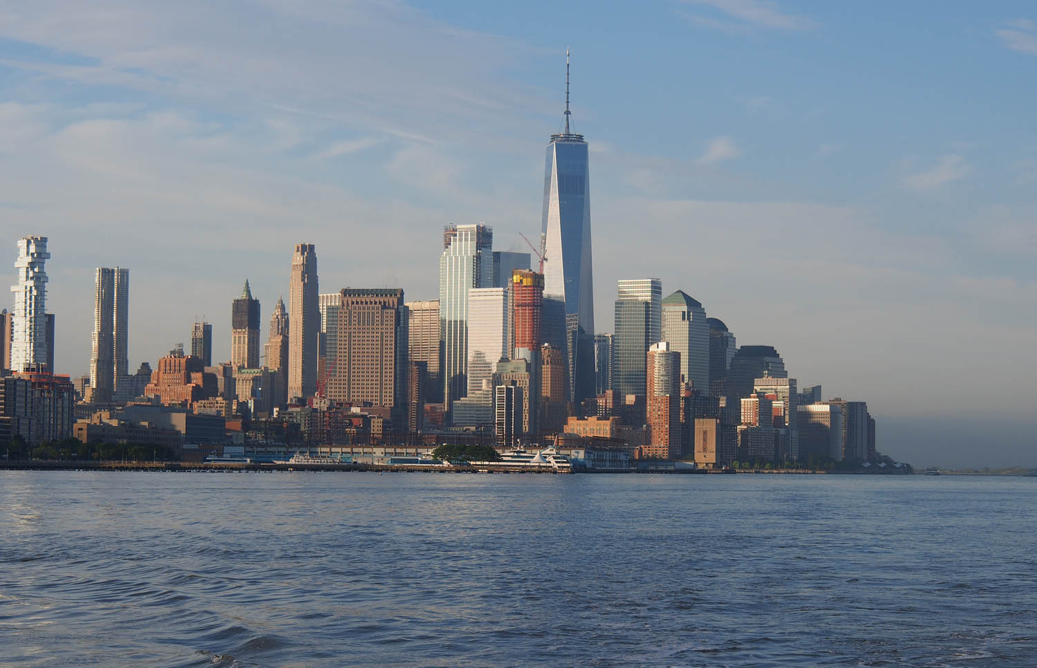
The next year, 2015, doing the loop we entered New York harbor for the first time with Keith and Gayle.

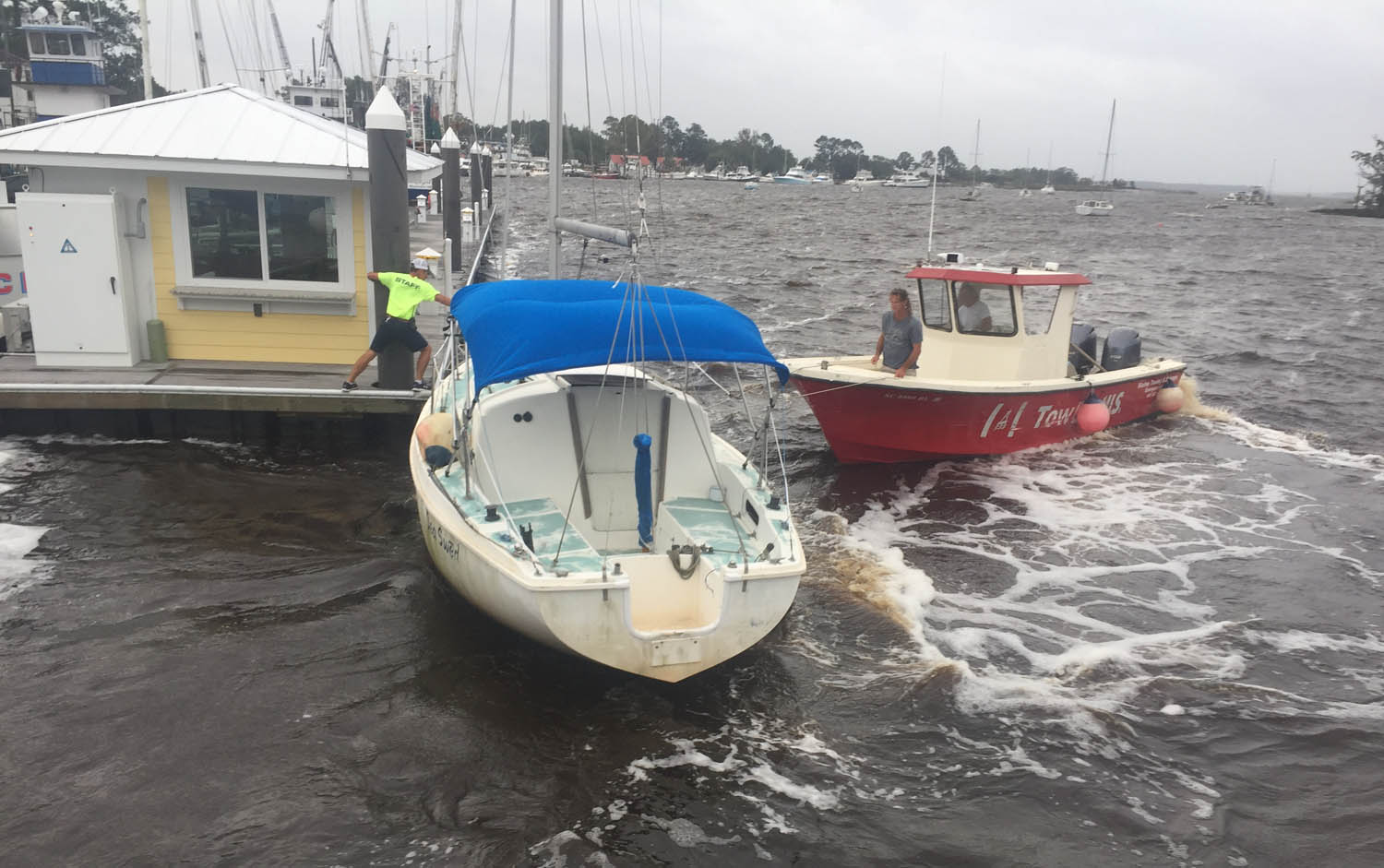
We’ve had a bumps, groundings, destroyed props and such, but no disasters. I suppose we could have hit a rogue container in the middle of the night when 50 miles offshore out of VHF radio range and sank. Would we have gotten off into the dinghy or something floating? Would our emergency system that broadcasts our position to a satellite and then to the coast guard have worked, and would they or another ship have rescued us? We’re probably more likely to have a car accident in our future travel, but we’ll try not to worry about that either.

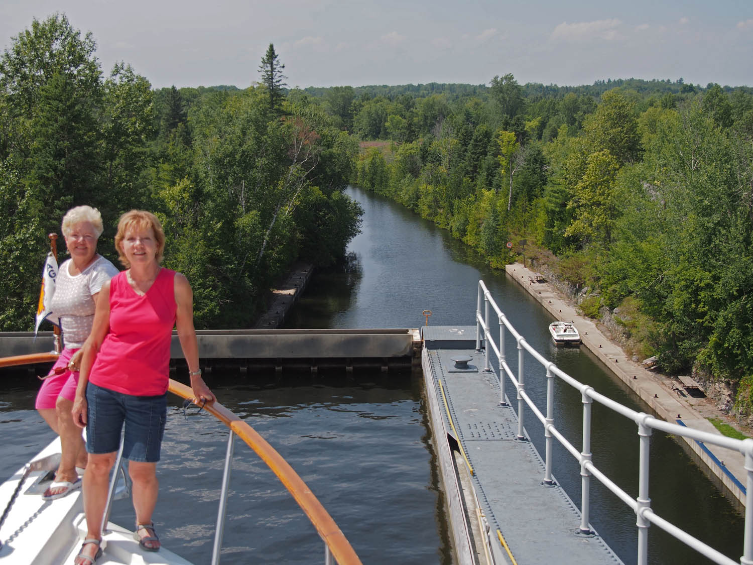
Sue and Sharon ready to ride the Kirkfield lift lock down on the Trent Severn in 2015 on the loop.

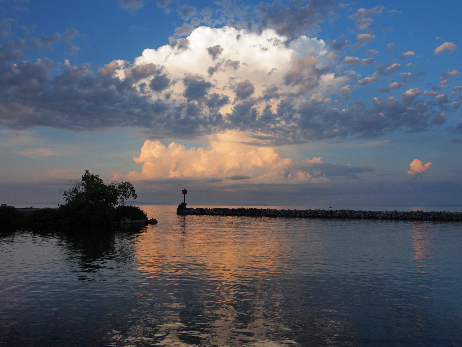
Clouds outside our harbor on Lake Michigan in 2015.

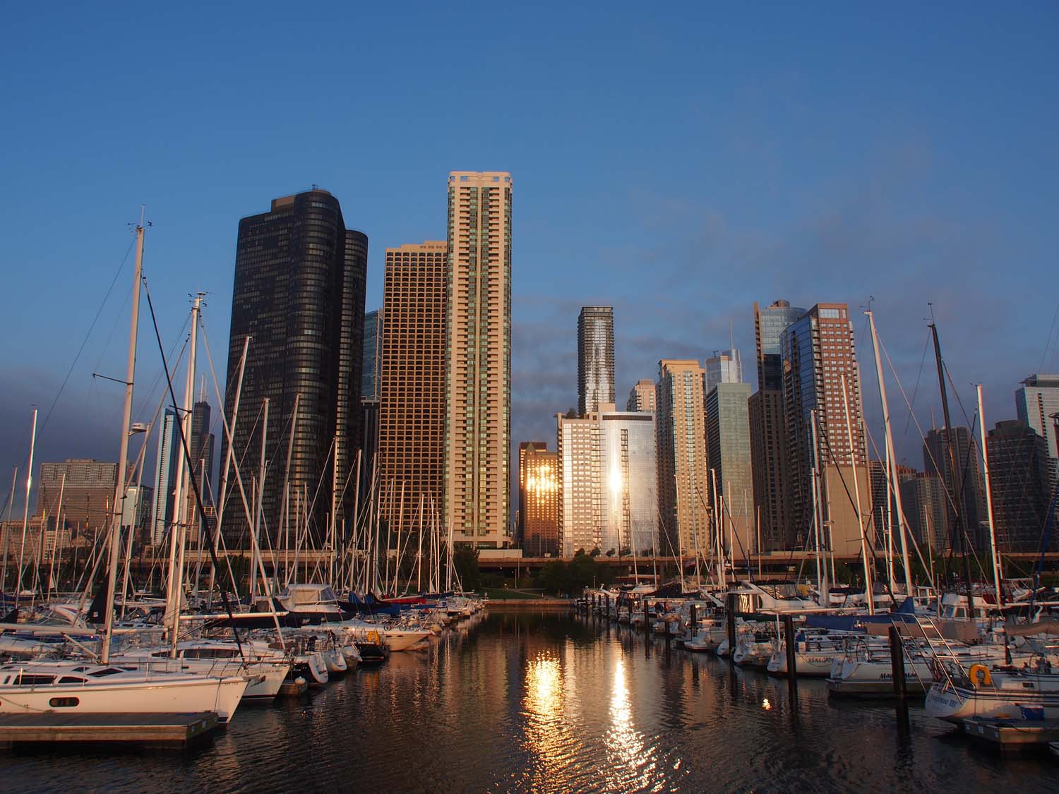
Leaving our Chicago marina after a great five days seeing the city.

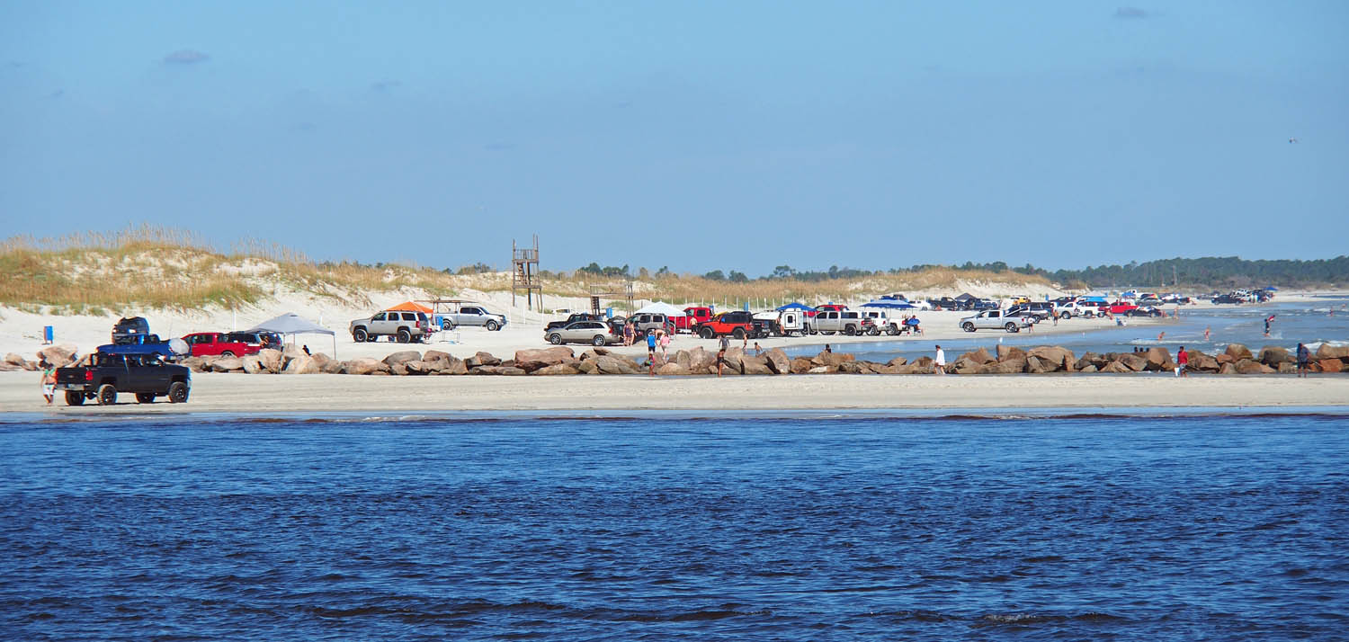
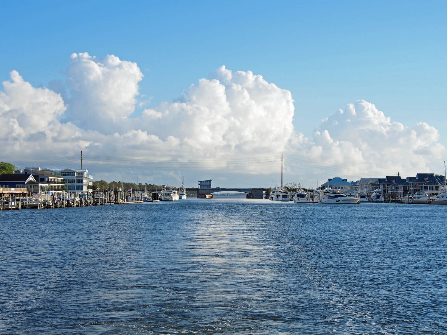
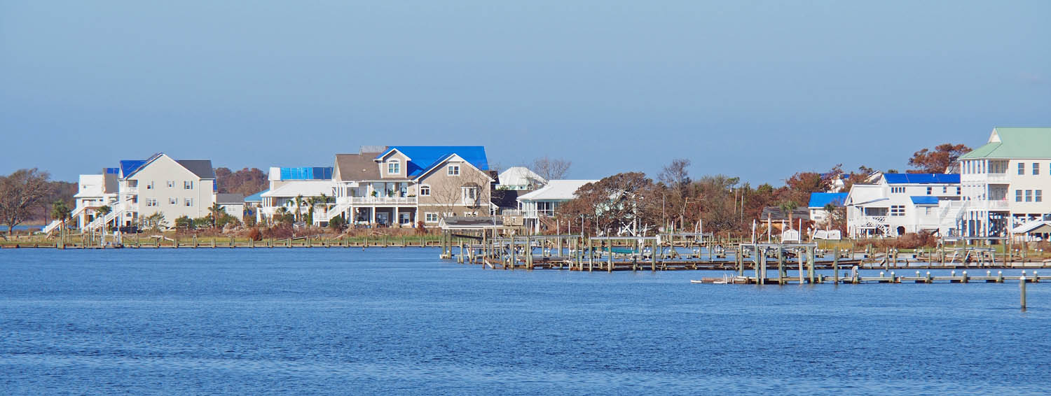
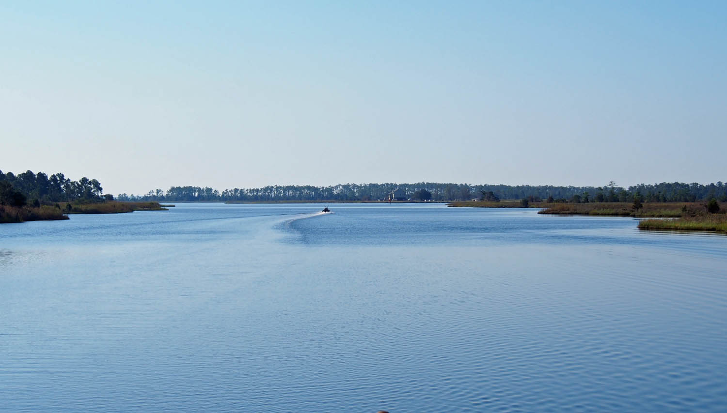
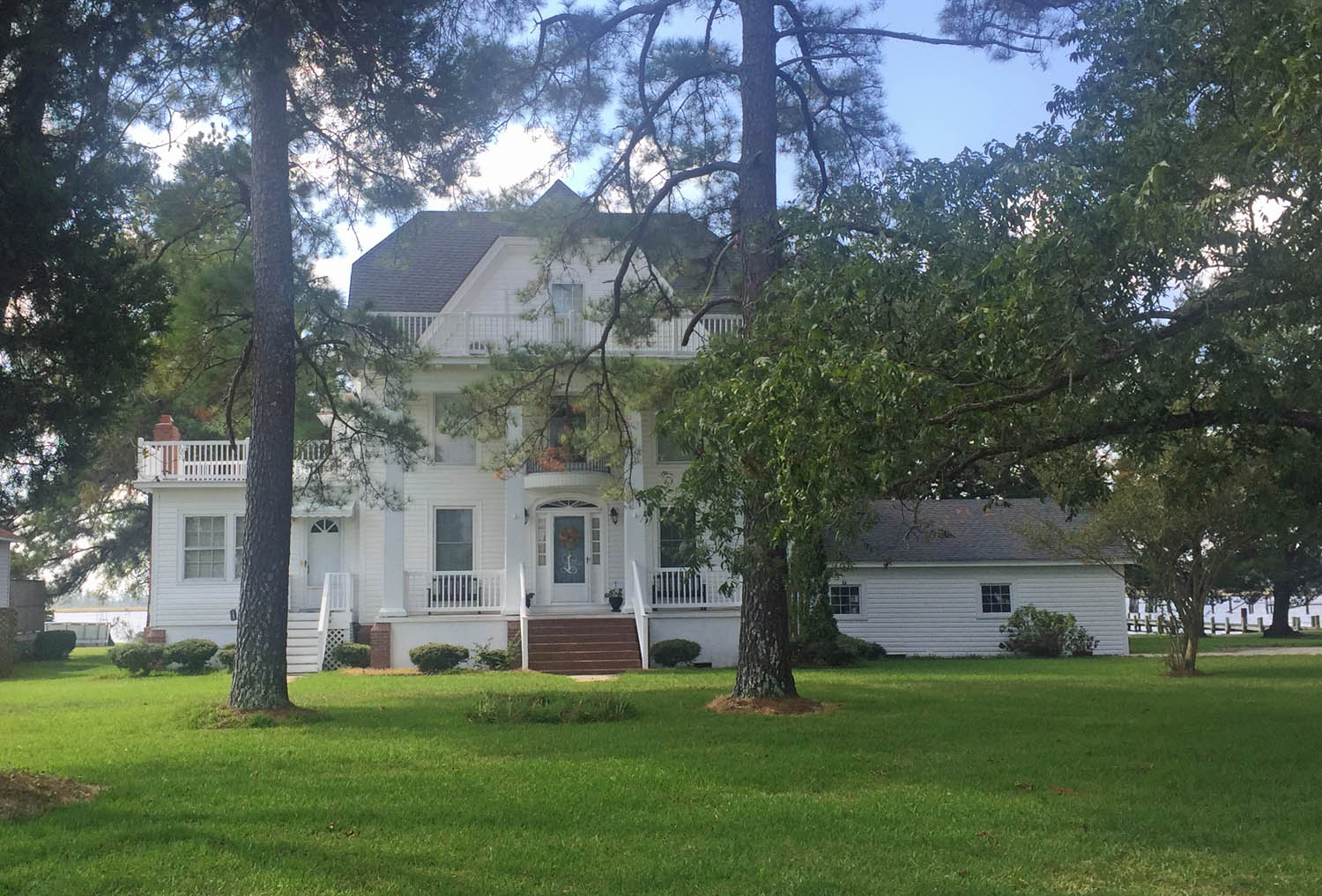
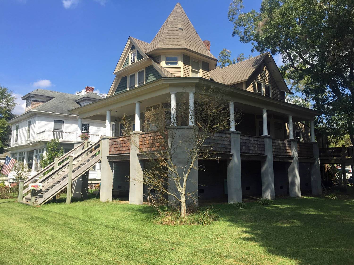
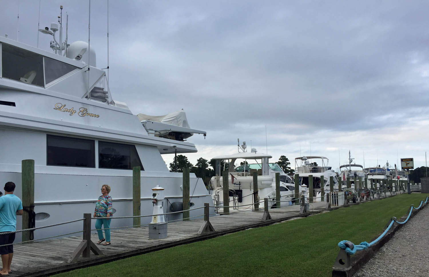
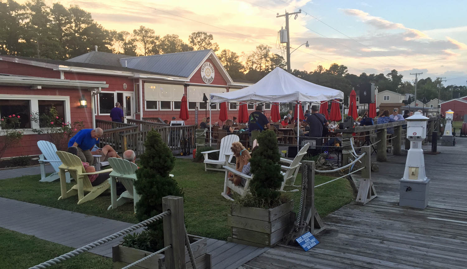
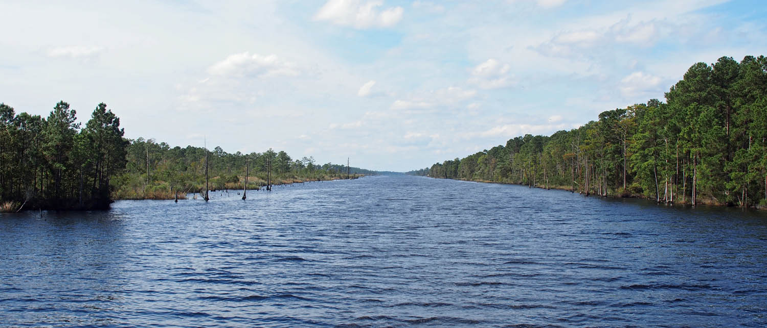
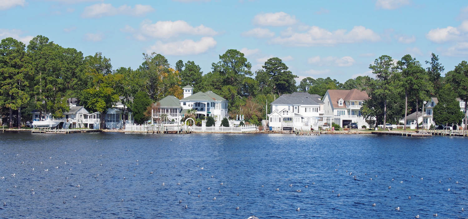
Being on boat has given us a unique perspective of a part of America that few see anymore. We have anchored out many times in places you will never see without a boat like ours, and enjoyed it a lot, but we’ve found we are more city people than country people. More often than not we dock in the center of the old part of towns and cities, right where the ships came in long ago.

sArch

Proof that we’ve been there and done that. Everyone on the loop gets this photo from another looper.

There are few places to really see the stars these days. Other than in Myanmar and once in the middle of nowhere in Texas we had not seen them well before we started boating. On Star Gazer in the more remote areas of the Tombigbee river and alone many miles out on the Atlantic we did see them. We anticipated that and thus the name.

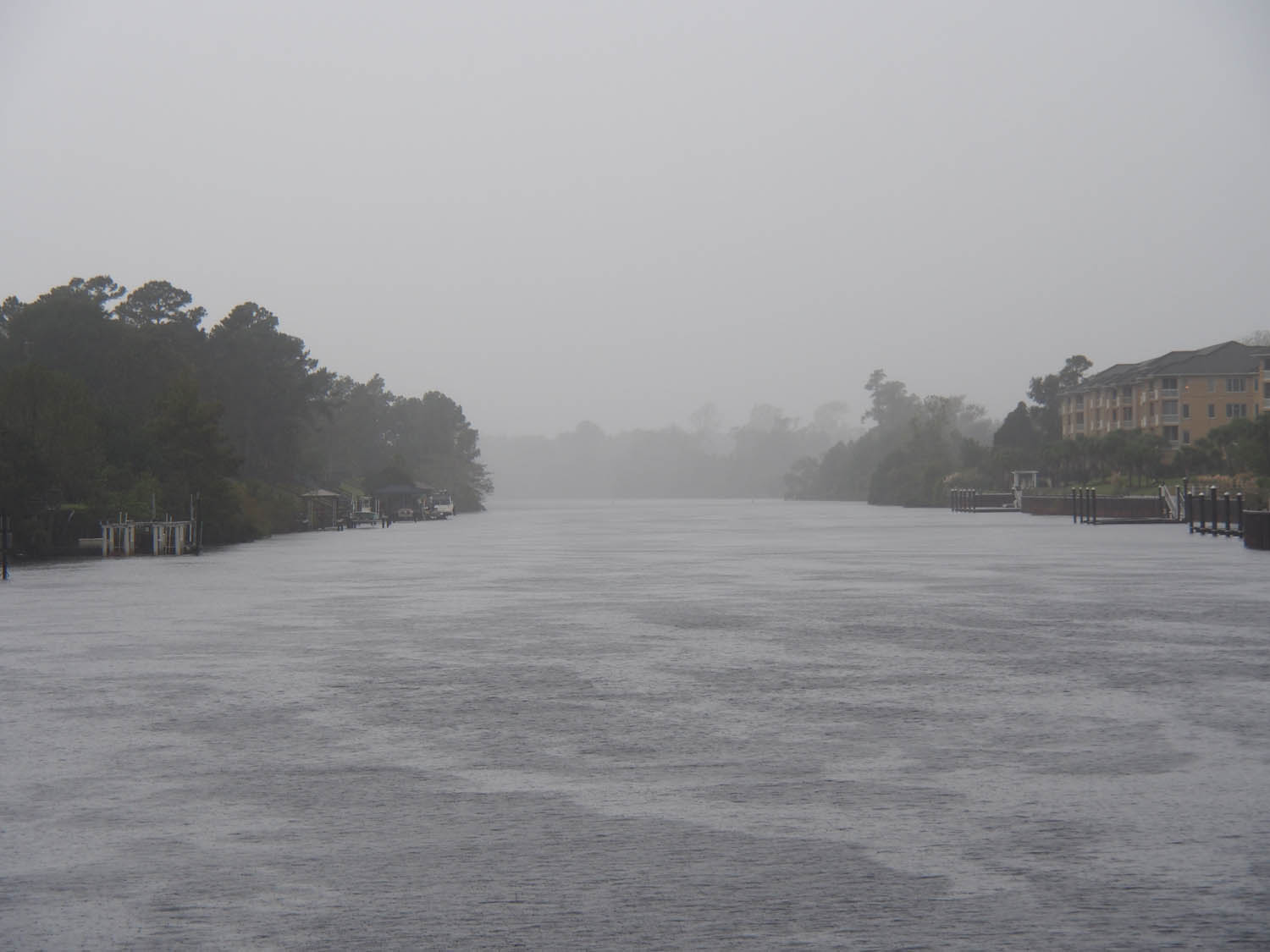
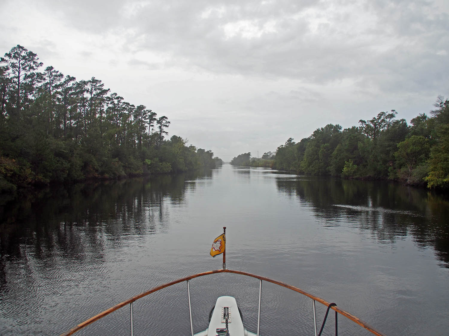
Still on the loop in 2015. At anchor in a tributary to the Tombigbee river. We thought it was clearing and the fog hit us big time just after we left.

We’ve enjoyed visitors, especially our long termers Sharon & Paul and Keith & Gayle. Sue and I discovered that when forced into small quarters, often with no escape, for years we liked each other even more. Our 4+ years of boating has been a great success, primarily because it was done with the correct partner.

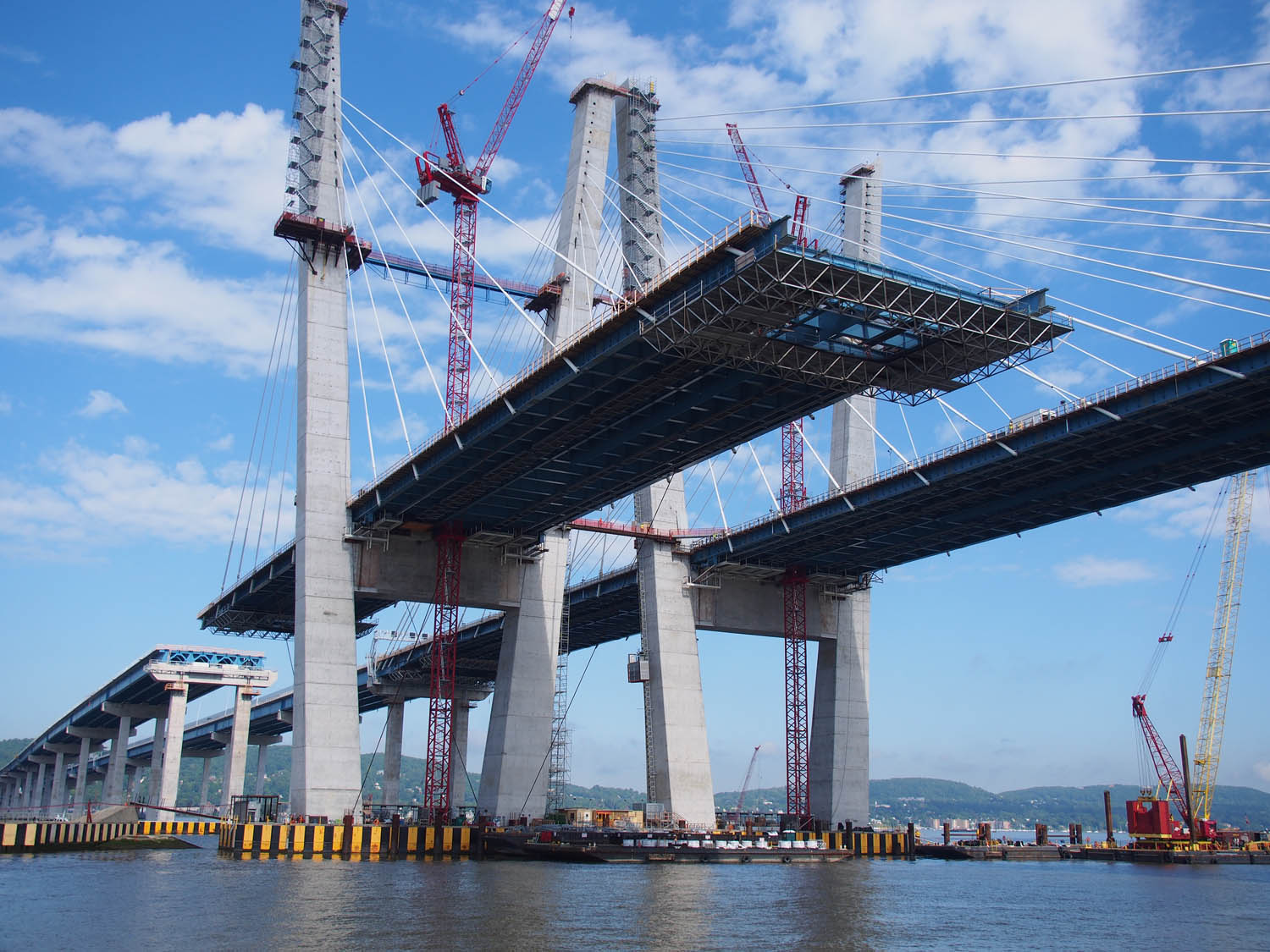
We watched the Tappan Zee bridge construction north of NYC each year. This year (2018) it is complete.

More information about Jack and Sue:

Our adventures in Thailand and Myanmar are recorded in another blog: opportunityfoundation.org/ofblog/

Memior/Biography for us on Amazon. Search for “To Build a Life by Jack Simpson.”

Standard

‘Home’ to Jacksonville

Almost there. We’ll turn a bit left after the marker in the distance and be on the Atlantic in less than a mile.

We spent one more day in Georgetown after the hurricane. The weather had calmed down and the sun was out. We messed around downtown and had lunch when we saw a crowd, at least by Georgetown standards, gathering on Main Street.  It was the big Georgetown Homecoming parade! The largest contingent there was from the Jr. ROTC from 4 of the area schools. The military, especially the Marines, is big in these parts. We watched that, went back to the boat for dinner and then came back downtown to the Strand theatre for “Won’t You be My Neighbor”.

rROTC

The Jr. ROTC contingents from four area high schools.

The good weather on the Atlantic finally came on Saturday. We had 260 miles to go overall including getting out the inlet at Georgetown and the 23 mile trip from the Jacksonville inlet up the St John river to our marina at Huckins Yacht Corp.

rDrumline

This is the Community Drumline. Not sure how that works, but they did have drums toward the rear.

We left Georgetown at 9:20 but fought quite an incoming tide and did not get out on the open sea until 11:30. The weather could not have been better, the sun was out with totally flat seas and no wind for the entire trip.  We had a nice 10 mph breeze because of our forward motion. Ocean travel does not get better than that.

rQueen

The Homecoming Queen.

Little happened during the daylight or overnight except when we passed the major inlets. We had passed the Charleston inlet during daylight on Saturday and the Brunswick GA inlet during daylight Sunday, but the Savannah inlet was busiest of the three with only New York harbor having more traffic on the east coast.  It was the middle of the night and lights were visible from large ships lined up for more than 12 miles to the east waiting their turn to enter the inlet. All were stationary but as we approached going south the closest ship started up westward to the port. AIS said we’d miss it by .2 miles, but then the ship was longer than that (AIS tells us that also), so I just stopped. The pilot boat seemed to pass right in front of us as it came out and did a U turn to catch the ship, after which we continued on our way.

Port side on the way near the end of the Georgetown inlet.

Charleston from about 10 miles out. The cable stay bridge shows in the background.

We arrived at the St John inlet on Sunday about noon. As we went in there were smaller boats fishing along the inlet barriers and the beach was full of SUV’s, reinforcing that it really was Sunday.

It’s Sunday on the beach just north of the Jacksonville inlet. A lot of small boats along the rocks to the right of the picture.

We arrived at the Huckins docs at 2:30. Huckins  built boats starting in the 1930’s and just stopped in 2014. Their styles have not changed and today appear retro and somewhat elegant, as if Sue should have a long dress on and me a blazer, tie and yachtsman’s cap. Definitely would not work for us. Even so, Star Gazer will now sit here until its new owners are ready to take it out.

Standard

An Opening

qStorm

We’re the blue dot on the coast. The main storm is to the west with little rain on us today.

First of all, some were wondering about us and the current storm. We’ve been on the edge of several big storms but have not been battered much, except for those back stairs we lost in one on the Chesapeake.  Right now we’re on the east edge of Hurricane Michael with winds just hitting 50 mph on our gauge from time to time and it doesn’t appear it will get much worse. We’re tied at the outside dock at Harborwalk marina in Georgetown SC.  There are a few sailboats at anchor just on the other side of the entrance channel that we hope don’t break loose and come at us, but other than that we don’t expect much trouble. Actually one did break loose and get to us, but it was a small one.

qLooseBoat

Why you tip the dockmaster. This little boat with no one aboard drug anchor and came right at us. He got on our swim platform, grabbed our big lock fender and held it off until the towboat came to pull it off over to the dock. We were getting out of bed!

Yesterday (Wednesday) morning the dockmaster in Little River knocked and told us we needed to move to another slip because a large boat was coming in. It was musical boats as the guy in our target slip also needed to move elsewhere. This guy also mentioned that the Socaste bridge was finally opening. This was a surprise to us but we needed to jump on it because the coming storm could just close it down again. A few phone calls to the proper entities confirmed they were opening on demand and a call to the local Coast Guard station got the OK to travel if we stayed on the ICW and kept our wake down. We frantically got everything in order and got a late start out of the marina by 10.

This is just before sun up the day before we left Coquina. Wasn’t quite this nice when we left yesterday.

Little River swing bridge.

We almost immediately hit the Little River swing bridge which opened for us but warned that all the bridges in South Carolina would shut down at 4 PM. No one was saying when they would open again. Twenty five miles later I called the Socaste bridge and told them I had a pretty stiff following current. The lady coordinated nicely and we sailed right through.

The way ahead looked a bit closed in soon after we were underway.

OLYMPUS DIGITAL CAMERA

An hour later the weather cleared up somewhat. We had light rain and a bit of wind off and on.

That following current that was busily draining the ICW in that area was great for us. We could sail along at a good speed with minimal engine power. It was good for those living along the ICW because the water was up to their house. Any significant wake from me would have crashed through their front door! This area had the most extreme high water of anywhere we have seen, and we’re told it is down considerably from the peak. Looks like those people already had that water through their front door, but I’m sure they didn’t want any more.

A

Where’s the canal bank? We didn’t see it either side within miles of Socaste bridge.

Water right up to the house to the left.

Six miles north of Georgetown the rain came down so hard we could not see the water just off the bow. We’ve had low visibility in this area before, but this was worse. I slowed to idle, turned on the radar and checked the weather. The radar was good to about 1000 feet out where what is called “rain clutter” started taking over. I assumed that was good enough because if anyone else was stupid enough to be out there they would hopefully be going very slow. The weather radar showed the heavy rain could not last more than an hour, about the time it would take to get to the Georgetown channel entrance at my slower speed.

The long awaited Socaste bridge opened just after this picture. Why can’t they just use the bridge behind it?

Water has nearly covered their fixed height pier, but is below their house floor.

There was already enough wind that I really wanted to be able to see when we went into the fairly narrow channel between various city docks and marinas and all the sailboats that anchor in this area. It did clear up. The sun came out right while we came into the city, so we docked with very little drama.

Six miles above our destination, just before the rain came down big time for about 40 minutes.

At the moment we’re reminded of the wind when it really pushes us into the dock and we bounce back a bit. Most of our boating career has been with great weather. We were just discussing how fortunate we were on the loop in 2015 with so little rain or bad weather. Seems we’re getting the other side of that for the last few months

Standard

To Little River

The hourly Wrightsville Beach bridge is fortunately behind us as we leave for Little River. We parked with the boats just left of the bridge.

We had good weather most of the time from Wrightsville Beach NC to Little River SC, but it did get blustery for the last 10 miles or so. We stopped at Coquina Marina which shares the basin with Myrtle Beach Yacht Club where we’ve stayed in before. We’re stuck here until the Socaste swing bridge, 25 miles further south, is operational again. We’ve heard different stories about when that might open, but only know that it is not working yet.

Our relatively narrow way widened to 2 miles when we hit the main Cape Fear channel.

There are a few stores here that Sue wants to visit again, so we’ll have something to do tomorrow while we wait. There’s a tropical storm warning east of us out in the Atlantic and of course hurricane Michael down south that is supposed to pass just west of here soon so we are pretty uncertain of traveling weather in the immediate future.

A lot of both houses and condos have been built along the ICW in North and South Carolina.

Standard

To Wrightsville Beach

In the Beaufort – Morehead City port. Not sure if these fan blades are coming or going.

Our good weather was holding as we left Beaufort at 7:30 and traveled the ICW to Bridge Tender Marina in the outskirts of Wilmington NC. We watched for logs and wood floating due to recent high water but saw nothing. We did see a lot of damage to roofs and to landscaping in front of homes. A few homes were boarded up to prevent floodwater intrusion but we couldn’t see much flood damage. That may be because nearly all the homes along the ICW in this part of NC are fairly new and build higher up.

There was a lot of blue plastic on roofs along the way. Wind seemed to do more than water in this area.

The main issue for this trip was the bridges. For some reason the Onslow half hourly bridge, operated by the Marines, remained open most of the time and we had no delay there. Further south the area high water had gone down so we could still fit under the Figure 8 half hourly bridge.

Most of the docks and piers along our way were torn up. We saw 4 or 5 grounded boats.

We were left with the Surf City and the Wrightsville Beach bridges which open only on the hour. These are 20 miles apart with the ICW pretty straight in between. Since we travel at 10 mph, once we get through one bridge we can hope to hit the other one just in time, except for currents. This time we flew along most of the day with following currents, but as we got closer to Wrightsville Beach we ran into the other kind. We barely made it as the final bridge opened and got to our marina which was just on the other side.

Standard

Beaufort NC

The good weather remains with us. Here we are in the channel from Belhaven to the Pungo River.

Just for fun, here’s a verbal description of our trip here to Beaufort. We left Belhaven, went down the wide Pungo River, four miles across the also wide Pamlico River, then up Goose Creek and into the canal that connects to Bay River Inlet which ended in the huge Pamlico Sound which is divided from the ocean only by the thin string of the outer banks. Then it was hard right, 15 miles up the Neuse River and left upstream into Adams Creek which then turned into the Adams Creek canal leading to Core Creek where we went downstream. Core Creek went between Beaufort and Morehead City NC and at some point is called the Beaufort Inlet which goes to the Atlantic. Altogether it was just under 70 miles.

The view ahead as we enter Adams Creek. Seems wide for a creek, but in these parts a river is many miles wide.

The view behind in Adams Creek. The oncoming boat travels at about twice our speed.

It’s a lot simpler just to see it on our navigation charts. After all that the only thing left was to go into our space three slips in with a 2 mph current pushing us sideways toward the slips on the other side and we were right downtown in Beaufort.

We passed about 10 100′ fishing boats at the R E Mayo docks on the Adams Creek canal.

Beaufort was not hit so hard in the recent storm. Everything is open except the Mexican restaurant which did get a bit of flooding. We got in Friday, spent all day today (Saturday) and will leave Sunday morning.

oMexRestaurant

The only Mexican restaurant in Beaufort is down for repairs.

oSailboat

Only other boat on our dock is from the Caymans. The owner is not aboard, just 3 crew. Note the weather changing beyond it.

We thought about jumping outside here but the weather is not good for that, so we’ll go down the ICW for two more days as far as Little River SC. Just south of Little River the Socaste swing bridge at 5 feet above the water had its motors and other parts removed to save them from the flood . Water is still high there so those don’t go back in until 14 October. They can open these bridges with a crank of some sort, and may do that earlier, but I’ll bet not very often. If not we wait, or maybe jump out at the nearby Little River inlet which we have used before.

Standard

Stuck in Belhaven

nCityHall

Belhaven city hall on the left and library on the right.

Belhaven is one of the smallest and also one of the nicest marinas we stop in. It has as many stellar reviews on Active Captain as a number of great marinas holding 50 times as many boats. As is usual for these type of places it is right by the old downtown with great restaurants, breakfast places and other shops.

nCityStreet

Across the street looking away from City hall, Belhaven marina is down past the trees. Water was 2 – 3′ above floor level here.

Spoon River restaurant is our (and a lot of other area people’s) favorite – we missed it last time because we were here only for the night it is closed. We’re missing it this time because it had a few feet of water during the recent flooding. In fact, every single restaurant in the nearby area remains closed. Some will open in another week, Spoon river around November 1, and a few maybe never. While we’re at a beautiful little marina, there is no place to go and nothing to do.

nMarina

Star Gazer at Belhaven Waterway marina

This is our closest approach to Greg, our favorite boat technician (30 minute drive for him) so a few recently noticed items are getting repaired. That’s why we stayed here 5 nights. All the parts are in and Greg will finish up today and then we’ll move on to Beaufort NC tomorrow (Friday) morning.

nLakeHouse

This nice older home is up off the ground. Not too high but maybe enough.

nLakeHouse2

They built this home next door years later, and raised it much higher.

The famous Outer Banks protects nearly all of North Carolina from the ocean tides flowing in and out, so tides here are wind driven. Here it was 4 to 5 feet up, enough to put an easy 2 feet or more above the main floor levels in the old downtown. Just around the corner in Washington NC, at the end of another 30 miles of the very wide Pamlico river they had a record 9 feet. Last March a different wind drained the west end of the Pamlico at Washington down more than 5 feet, putting a number of anchored boats on the ground for awhile. Very large shallow bodies of water make it harder for wind driven water to return underneath.

nHouse3

A block away from the waterfront, this home was raised long after it was built.

We saw how flooding in this area was more taken into account in home construction as time went on. We’ll be gathering more flood stories as we go southward through North Carolina.

Standard

Coinjock and Belhaven

mCoinjock

Sue walking to the restaurant along the Coinjock dock. Boats all the way.

We left Norfolk at 7:30 to continue south on the Elizabeth river. Our marina is right at the junction of the “Eastern Branch Elizabeth River Inlet”. Since I turned left to come into the marina, I turned left going out and went east on the branch instead of south on the main river. It seemed pretty much the same. Lots of ships up in dry dock, parked navy ships, service yards, cranes, containers, etc.

mRestaurant

Outside the Coinjock restaurant. Regionally famous for steaks.

After two miles and several bridges two guys in a small service boat waved their arms and yelled at me “Are you sure you want to be here?”. That made me take a close look at the chart, turn around and proceed down the main river. I didn’t think about any of this when we were here in spring of last year because we were going northward and you would not make that mistake going that way.

mAlligator

Star Gazer at Alligator River marina.

I had allowed extra time to get to the Great Bridge on the hour at 10 and its preceding lock on the half hour at 9:30 and we still made it fine. We hit the following two swing bridges at their half hour opening times with no delay and so made it to Coinjock marina in NC around three.

The Pungo river – Alligator river canal on the way to Belhaven.

We tied up to a completely empty 1000’ dock at 3, but it was full by 6, including several boats considerably larger than ours and a 140 foot yacht as well. The big one turned around in the canal to dock and just barely had enough room. They did it quickly enough to indicate they must do it often. We had seen nothing but a couple of barge tows the entire way and had no clue where all these boats came from. It was Friday night, could all of them left from Norfolk after us to get there in time for dinner? Their steak house is very well known (we always each have a New York steak when there). Anyway, when we got up at 9 the next morning everyone had gone – we were the only ones left. Where did they come from and where did they go? It did appear the big one came from the north and was returning there, apparently just a day (and night) trip.

Belhaven from the water. We’re docking behind the condo building on the left.

Closeup of some homes appearing in the above picture.

We left at 10:30, crossed a calm Albemarle Sound and went on to Alligator marina with no incident and finally outstanding weather. We had great weather the next day when we went on to Belhaven marina as well. These last two years have had a lot of cloudy rainy weather. The years before it seemed we hit sunny days most of the time.

Standard

Norfolk

Just a bit of sun along the way on homes along the west bay shore.

Things were better on Tuesday. The wind was nonexistent, down from very noticeable the day before. We started out a bit before 7 and found the bay calm all the way. Following waves just barely noticeable the last part of the trip before we went into the Elizabeth river at the south end of the bay.

Missionaryridge, named after a Civil War battle, must have been on a training mission. It circled and zagged about a mile in front of us while it transmitted AIS unencrypted information. First time I’ve seen that.

It was still overcast but no rain. A lot of the bay is shallow and a lot has crab pots and other things set up for fishing, so it was easier just to keep near the main shipping lanes. We did keep a watch out for logs and swerved to avoid one just as we had when traveling from Annapolis.

Just coming out of the Elizabeth river, they called to ask what I was doing. I answered “I’m holding the course you see on your AIS”, which seemed to satisfy them.

Our last hour of travel passed more navy and commercial ships, most undergoing repair or other work than we’ve seen anywhere else by far.

The super carrier Abraham Lincoln.

We’ve been in downtown Norfolk at Waterside marina again for three nights with tonight being our last. It’s usually been on the verge of rain but never quite gets around to it. Dillard’s dept. store at the MacArthur mall has been selling out its summer clothes, which will be just right for winter in Florida, so Sue has had a great time shopping there. They had a Barnes & Noble there as well, so I was happy. I was just able make the 4 block trip carrying back her purchases tonight.

lBooks

At Barnes and Noble. Couldn’t find anything to show me how to work on the other side.

We’ve seen a lot of the sights in Norfolk just last year. We’d have liked to go to the botanical gardens here again, but the weather was just not right for that

Standard

It’s Rough Out There

Can’t use the camera when really crashing, but took a few pics when calmer. There were a few sailboater (it is Sunday) who maybe like this weather. This one had more sail up than most of them.

We made it 90 miles down to Chesapeake Boat Basin in Kilmarnock where we stayed a few nights last year. Not quite in the middle of nowhere but close. The trip was pretty close to our expectations from the weather and waves report.  They all leave this marina at 1 on Sundays, so we got in and tied up at the gas dock, the only place left. They left the keys to the borrow car for us so we drove into Kilmarnock and went to McDonalds for dinner and then to Walmart to stock up the boat.

The forecast for Monday was 3’ waves for the first half to Norfolk and then 4’ for the second. We decided that would be too much and got permission to stay on the gas dock Monday. The dockmaster said “If it’s that bad outside no one will be coming in for gas anyway.”

Traveling at twice my speed, this guy is not affected by the current weather.

There was no change when I checked the weather/waves before going to bed, but when we got up it had backed off from 4’ to 2 – 3’ for Monday and Monday night, so we decided to go. Only 60 miles total so leaving at 9 was not so bad.

We had a smooth ride 4 miles out on the Indian river, but when we entered the main bay we got plastered. I had not gotten around to opening up the flybridge yet which was lucky when we went head on into some big ones. The bow crashed down and water sheeted up to the flybridge roof. Had I opened up the first crash would have completely soaked us. As it is it only knocked both our full coffee cups off the front dash making a huge mess. We had already locked things downstairs so no damage there. Sue did start to get up to check on things downstairs but quickly sat back down. No way she could stand or walk in what we were getting. She yelled “we have to turn back”. I am the captain, but the admiral is permitted to overrule me in some circumstances. That suddenly seemed like a great plan, so we quickly got back into the quieter river and made our way back to the gas dock.

This could not have been more different than when we left Kilmarnock in May of last year.

It’s not often we have gone out and then had to turn back. I think there was only one other time in 5 years, but I can’t remember what it was. The violence of what we hit was quite a surprise.  Of course inlets can be tricky, the wave predictions are not always right, and technically the prediction was for mid day Monday and Monday night. Maybe it’s been getting better out there. The Tuesday prediction was for 2’ waves all the way, and still holds as I write this. I assume that will still be the prediction tomorrow morning, so we will get out early and hopefully find things better.

Standard