Anchored at East Mississippi Finger

The way ahead looked OK to start with, just a light fog.

We had planned to travel up the Tennessee River 250 miles to Chattanooga, but realized the 500 total miles to get there and back would take too much time and would not allow us to stop and be lazy at anchor. We changed our minds and instead will just cover the 450 miles from Grand Harbor to Mobile AL, the entire length of the Tenn Tom.

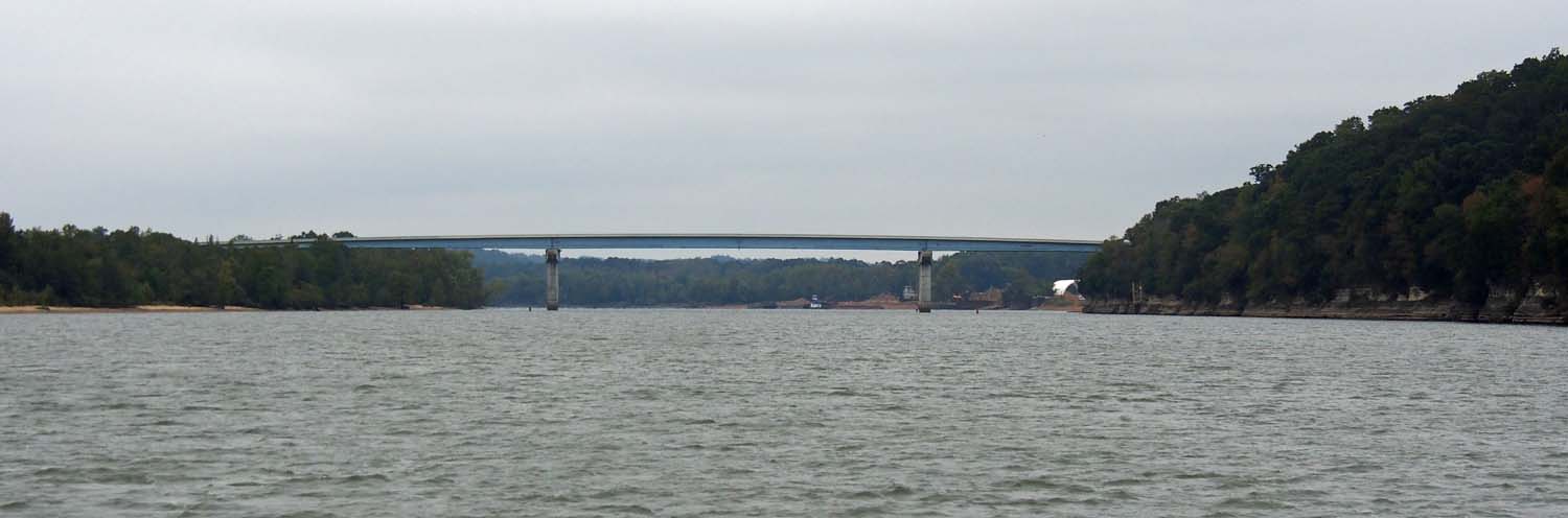
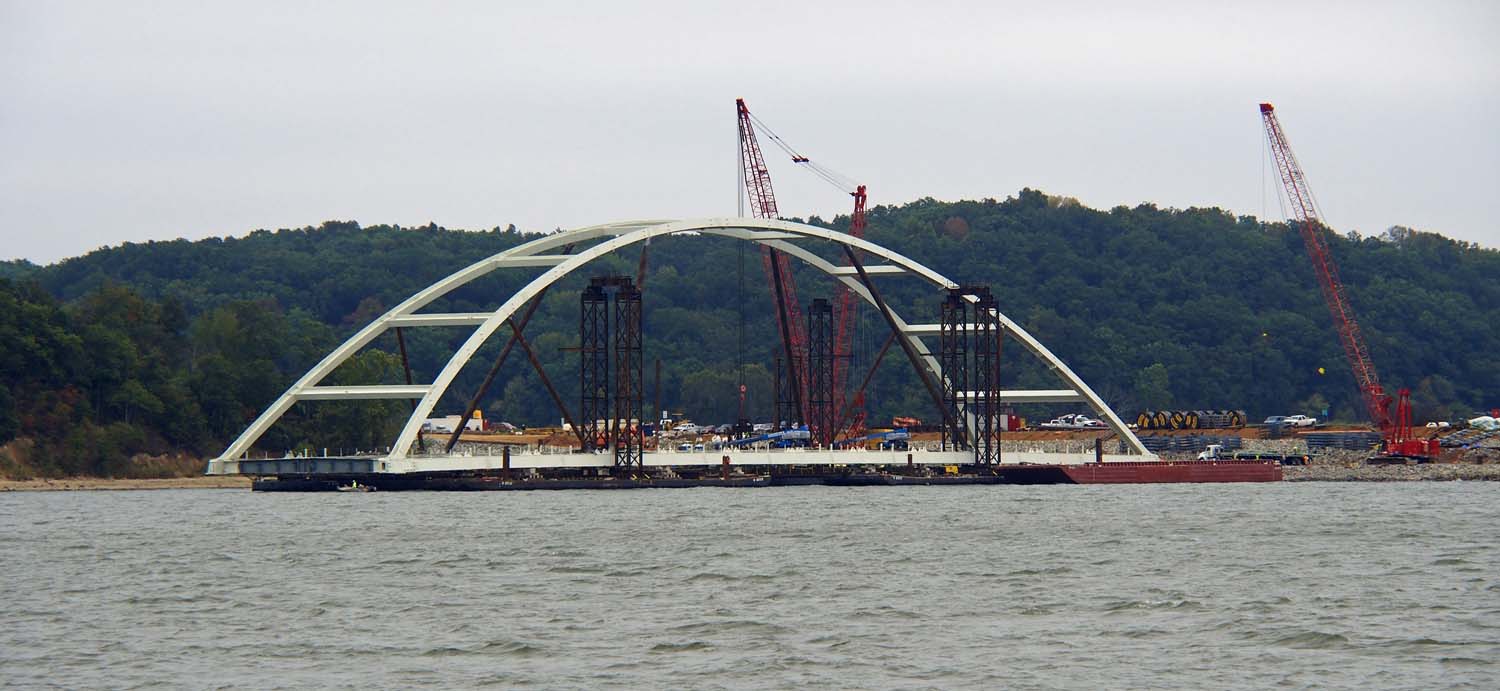
Looking around a corner we could see a bridge and maybe a bit more fog.

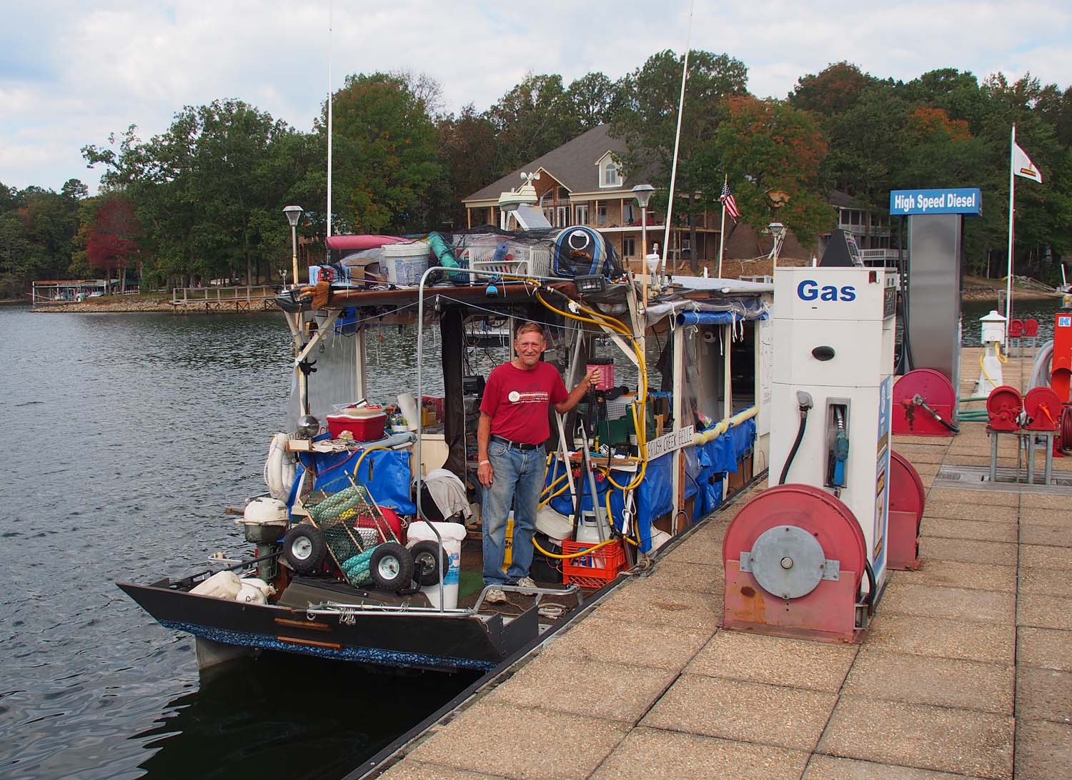
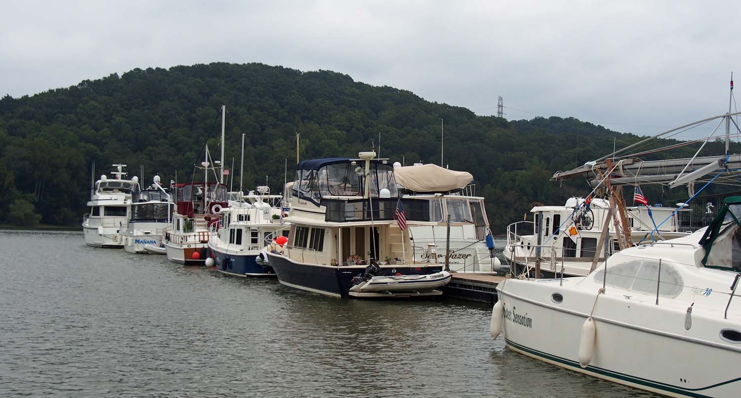
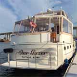
Friday started up sunny and just a little cool, but warmed up by 10. We left Grand Harbor at 8, using the new controls to get us out of a side tie between two boats with two foot clearance at each end. They worked great.

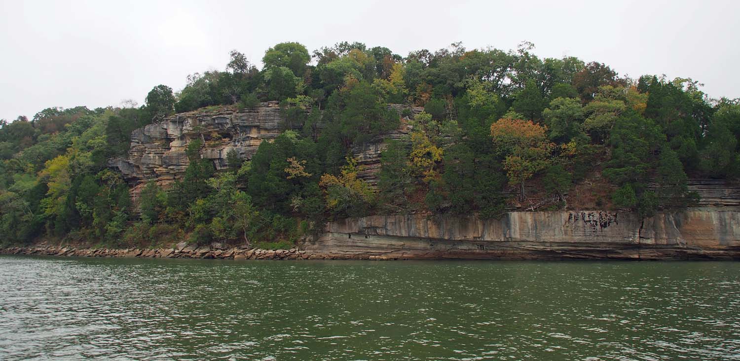
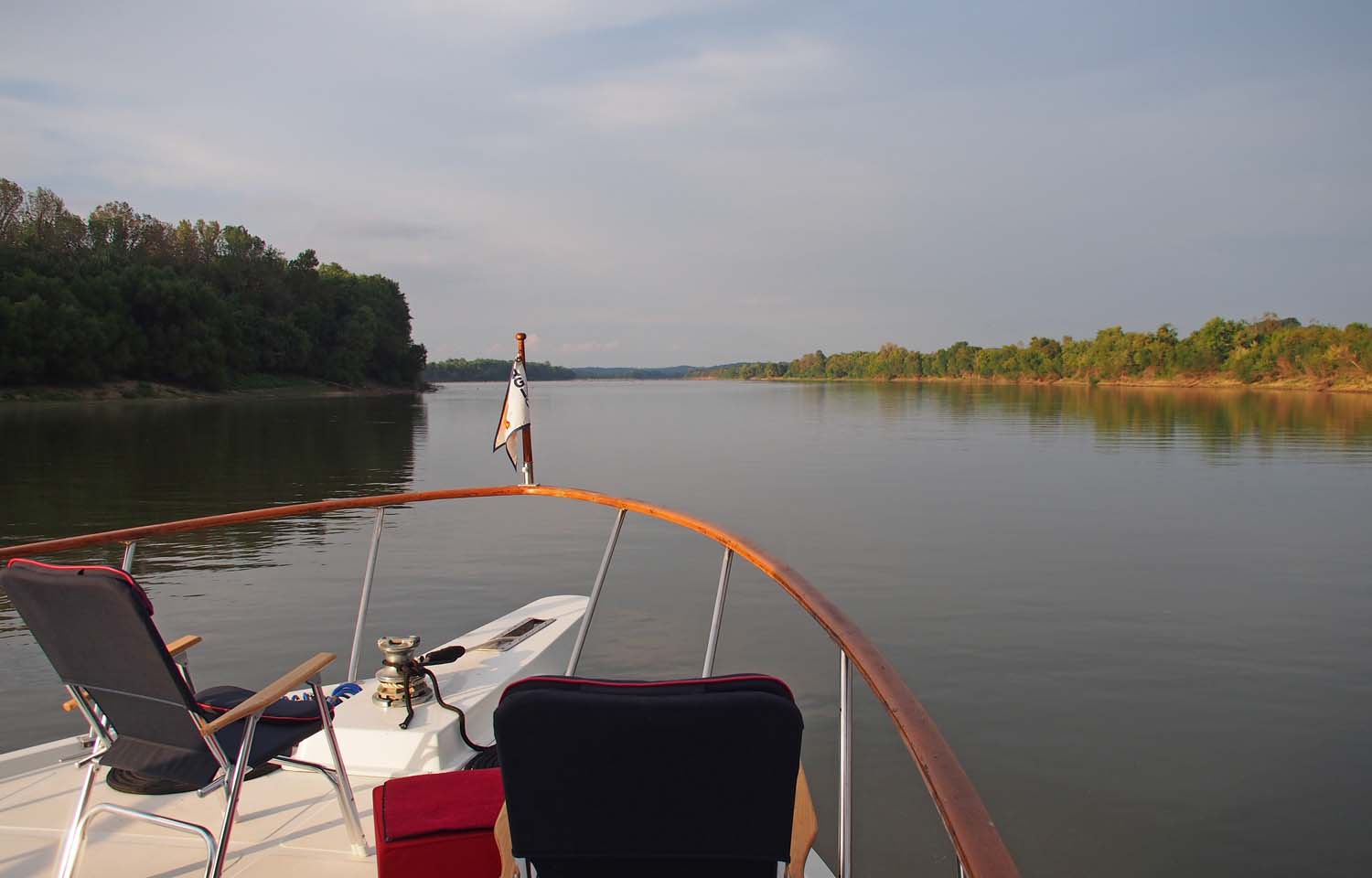
Our eventual destination is Midway Marina in Fulton MS 56 miles and three locks away, but today we went 36 miles and anchored before the first of the locks. Our anchorage is very nice and away from everything, including any cell phone access. No phone calls, no weather checking, nothing. Fall color is just starting here, but a few selected trees have turned, with some smaller ones provide a red accent color.

Much more fog just past the bridge. After that it was socked in. Could barely see the bank at the side.

We chugged around our anchor area to check depths. It drops off quickly from shore so we floated fine within 15 feet of the trees.

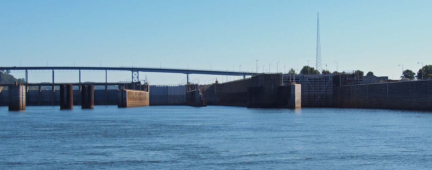
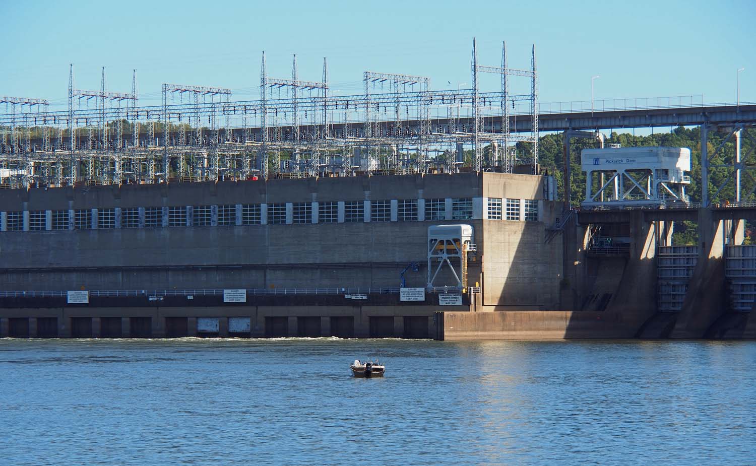
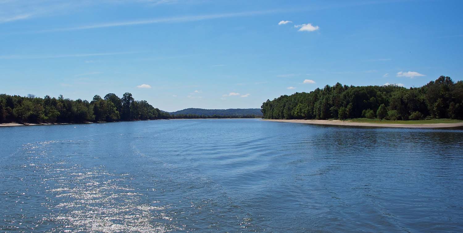
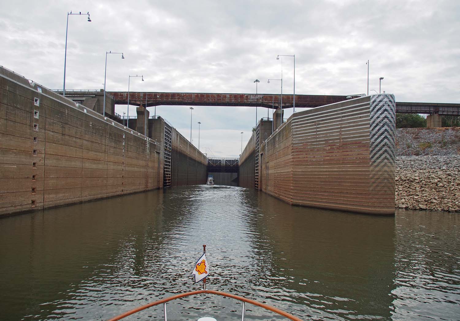
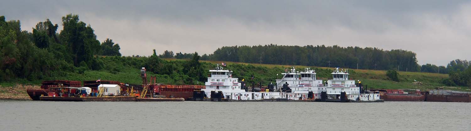
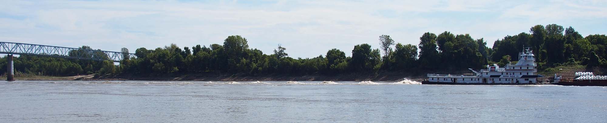
Today’s trip was nearly all on a dug canal which finally spread out to a multi fingered lake just above the John Rankin dam, the first one after leaving the Tennessee River / Pickwick Lake. This 36 miles is the big cut that connects the Tennessee to the Tombigbee. Now that we’ve passed through that, we’ll drop 84 feet a few miles from here and proceed downstream on the Tombigbee, locking down through about 10 more dams all the way to Mobile AL.

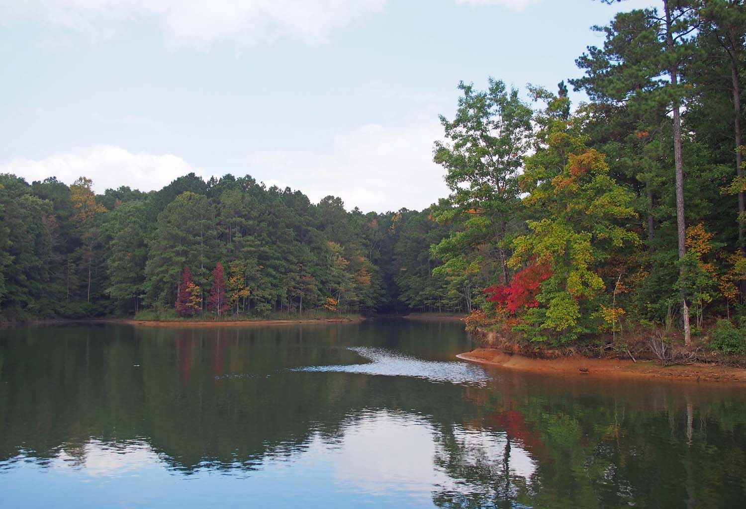
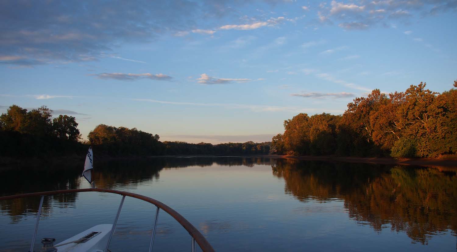
A very nice anchorage with fall color starting. We drifted close to the bank.

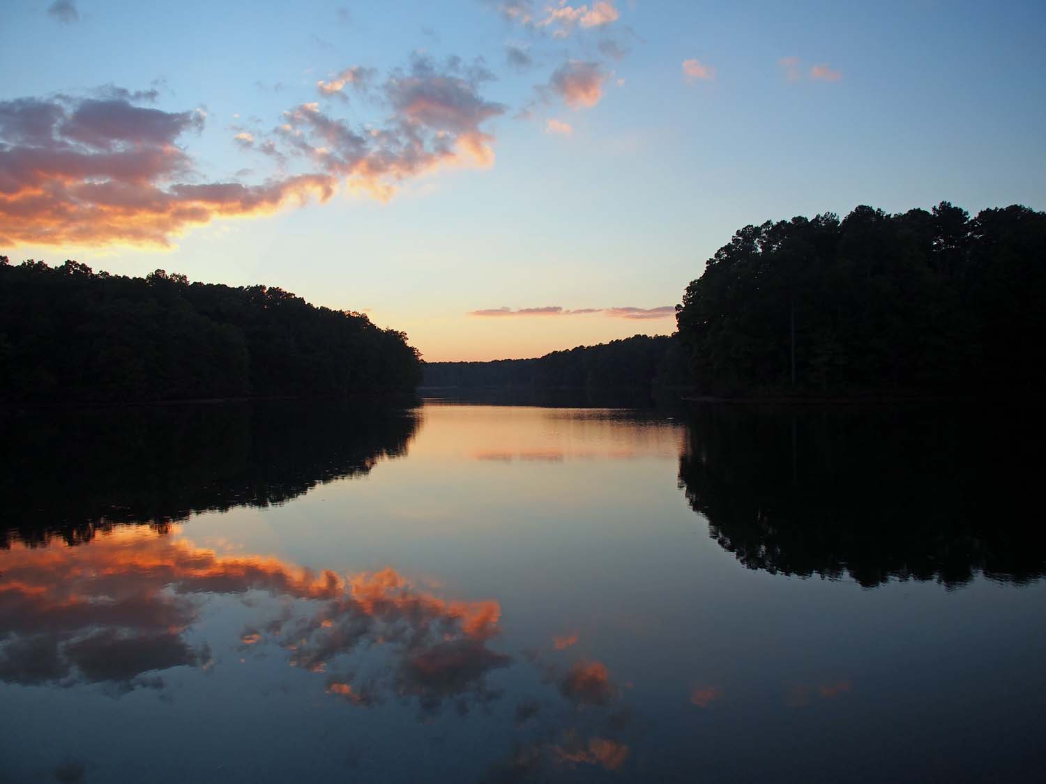
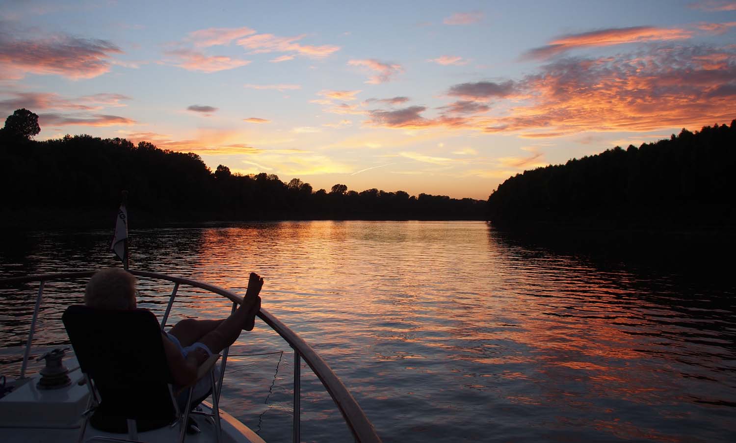
Looking west out of our anchorage just after sunset.

Standard

At Grand Harbor Marina

TGWaterfall

Waterfall in a small bay off Pickwick Lake, a few miles south from our marina.

The guy did come and the installation worked. It should help when docking, especially when I have to back into a narrow slip with a cross current or crosswind. It will also help when Sue and I have to tie and untie the boat with no help on the dock or lock wall, especially in currents and winds.

A number of loopers stop here for a few days. The marina is in a side channel off Pickwick Lake that continues on to be the Tenn Tom canal that we will travel to get to Mobile AL. First we will take a side trip up Pickwick Lake / Tennessee River and visit few towns as far as Chattanooga TN.

TGFreddyTs

Our waiter at Freddy T’s. A great restaurant.

The marina has two courtesy vans it lends out for two hours at a time. You need that much time to go to the nearest large supermarket in Corinth MS 20 miles away. We borrowed it and did our resupplying, then called to find no one else wanted to use it, so we went to Freddy T’s for dinner. Freddy T’s is a great place. I liked the lasagna and Sue had Dave’s fish. Both were very good. Our waiter had relatives in Coeur d’Alene where we lived awhile ago. His great grandmother owned the Paulson building in downtown Spokane and lived in the mansion on top of it. He had been there many times. I had always wondered about that home up there.

Milt Cornelius and his brother are traveling part of the loop in their own style. They’re at rivertrip15.wordpress.com.

We had the dinghy out on two occasions. We went into a number of side channels and bays to look at the lake homes an to see a waterfall.

Standard

Pickwick Lock and Grand Harbor Marina

Sue on the bow at Pickwick Lock, our only one of the day.

We woke at Wolf Island to another great weather day. Sleeping weather the last night was perfect. We opened all the windows and had it just right all night. The warm weather came the last half of yesterday and appears to be staying for awhile here near the Tennessee – Mississippi border. Locals tell us that the lakes and rivers here never freeze over and while they rarely have up to a foot of snow it is normally gone the next day. Looks like we’ve reached the deep south.

We saw this tow around the bend, passed him and got to the lock early enough to go through before.

We passed this tow going the other way. A 3 x 5. Glad he’s already through the lock.

All our Kentucky Lake – Tennessee River travel so far has been more pleasant because of a 6 – 10 mph wind from the north. Since we’re travelling south overall, we feel no wind as we go. We left at 8 and arrived at Pickwick Lock at 9:30 after passing two tows. Another private boat was currently locking up, so we waited about a half hour. We then went in and locked up 55’ alone in the smaller 600 x 110’ chamber. If anyone wonders that took just north of 27 million gallons of water.

Approaching Pickwick Lock. We used the small chamber ahead. The gate for the 1000′ chamber is to the right.

There were several small boats fishing up close to the power house and dam. No spillway water today.

Grand Harbor Marina was another five miles up Pickwick Lake behind the dam. We were scheduled to meet someone there to install an additional engine control system that we ordered in November of last year. When we ordered it they said it would be installed in December 2014. That changed to end of January 2015 when they told me they had not interfaced to the particular engine controls, made in Italy, on Star Gazer. They continued to have problems, rescheduling to the end of March. Then they were going to meet us at Oswego NY and after that to Alton IL near St Louis. Now it looks like they really will get this installed here at Grand Harbor. Stay tuned.

Standard

Anchored at Wolfe Island

Looking back into Double Island anchorage as we left.

Today came sunny and pleasant while it took it’s time warming up. I had planned two days at Double Island and for the next travel day to take us all the way to Grand Harbor Marina, 65 miles and one lock away. By lunchtime we were well rested and decided instead to travel part of the distance to the marina and anchor somewhere close to Pickwick Dam, which comes just before Grand Harbor.

Fishing on the Tennessee River.

This time we got a very pleasant travel day with great scenery, mainly forests, hills and rock formations along the bank. We noticed less fall color. Maybe we are outrunning it as we travel south.

One of the nicer homes along the river. There were some really old homes nearby as well.

Since we left at the late hour of 1:00, we did not arrive at Wolf Island until 5:30. We both agree it is better scenery behind this island than the previous one. We can just barely see another boat that came behind the island from its other north end to anchor. Otherwise we were alone.

To the left of the steeple starts the main street of Clifton TN, the only town we passed today.

Late afternoon at our Wolf Island Anchorage. Calm with an easy current sliding past.

We saw currents as high as 3½ mph in a few spots today. The current 1½ mph behind Wolf Island is keeping the anchor line tight and the boat straight as an arrow.

Standard

Anchored at Double Island

Inserted note: We’re in Columbus MS at a Starbucks. It may be the only one on the entire Tenn Tom, including the part of the Tennessee river we travelled. We’ll try to get all my pre written blog posts and our photos to date entered here.

River bank near the start of our trip today.

It was cold and overcast as we left Pebble Isle Marina after staying two nights. With a predicted high of 65 we decided, for the third time in our boat traveling history, to drive from below all day. We ran the genset so we could run the AC in heat mode and were very comfortable. We soon came to the end of the Kentucky Lake and were back on the Tennessee River, but it was wide with no traffic

The only moving tow we saw today.

Water was smooth all the way, so Sue made a great breakfast and we sat at the table and ate as we went. We watched the navigation chart on the monitor from the table, with standing just occasionally to check there was now tow or other boat traffic about.

Homes along the Tennessee.

There are few tows on the lake or river. We pass maybe one each way per day. While this is an area of pleasure boating and lake homes, we saw even fewer private boats except for the small “bass boat” fishing boats. It was Sunday, so even with the cold weather we would see those. The 53 miles to Double Island was scenic, but we were glad to enjoy it out the windows from downstairs.

The Alvin C York Bridge. Finally something not named after the congressman that got the money for it.

Shortly after lunch we slowly picked our way behind Double Island, watching our depth until we started to run out of it, dropped the anchor and let the current ease us back. The current was slow, but held us in the same place all night.

Standard

Into Tennessee

Abandon rail bridge in Tennessee. Used to cross Kentucky Lake.

Weather leaving Green Turtle was cold, 65 or below. Overcast but no rain. It was not cold enough to drive from below, but it was the first time in memory where we’ve kept the top zipped up all day. Time to be heading south.

I don’t say what town this marina is in because there is no town or anything else here. I forgot the western end of Kentucky is so narrow, but then realized that we entered Tennessee a mile after we left our anchorage. We traveled in Tennessee, and will also when we leave here to an anchorage, and one more travel day to reach Grand Harbor Marina just over the border in Mississippi.

Approaching Pebble Isle Marina. We had to keep to the far left to get enough depth.

The Tenn Tom canal branches off the Tennessee river at Grand Harbor. We’ll be taking the Tenn Tom to Mobile Bay on the gulf, but before that we’re thinking of going up the Tennessee a few days as far as Chattanooga. We hear it’s a nice trip with a few interesting towns along the way. I’d tell you their names but this marina has no Wi-Fi and no cell phone data access, so it will have to wait. We’ll wait and see what the weather may be like. If it remains cold we may just continue south.

There are about 12 looper boats here at Pebble Isle, and our first night loopers filled the small restaurant out on the docks. We ate there with Bill, Bobbi, Jim and Catherine.

At Pebble Isle. All boats here are loopers. Some hidden behind these. Also a few more came in after this pic.

We heard that Loretta Lynn’s home and ranch are nearby and open to tours, so we borrowed the marina van, invited some British loopers along and went to investigate. We did the home tour and saw her museum. If we were fans I’m sure it would have been great. It was no Dollywood, but it was interesting and had a nice setting. We saw Tennessee countryside on the way, and since our GPS was not quite up to delivering us to Loretta’s door, enjoyed a little more countryside and dirt roads than we expected.

It was a good time with friends, and we even managed to stop by a small town CVS drugs and get our flu shots on the way back.

TTLorettaCreek

Creek at Loretta Lynn’s Ranch. Building to left is her general store. To far right is her home we toured.

Weather remains cold. I’m going over to the restaurant. They’re trying out a new Wi-Fi service. I want to see if the weather is predicted warmer for our travel and anchoring tomorrow.

Standard

Anchored at Dry Fork Bay

We didn’t get off until 8:30 and traveled 40 miles in no hurry to get here just after one. We came 1½ miles into the bay from the channel and dropped anchor over to one side where Sue liked the rocky shore and some of the trees just starting to turn for fall. The wind was 10 mph or less and all was quiet.

Fishing this morning out in front of our boat at anchor in Dry Fork Bay.

We were alone in this fairly large branch off a larger bay until this morning the next day when two small boats were fishing some distance away when we got up. They’re long gone but its just after one now and two other looper boats came to anchor. If anyone else comes it will be in the next half hour or so, since they’re sure to come from behind one of the two dams. This bay is quite large and the new boats are a more than 1000 feet away from us, so we’re still pretty much alone.

Evening our second night in Dry Fork Bay. Two other loopers joined us today. Kentucky Lake in far center.

I’m glad Sue likes anchoring so much. Total quiet makes it easy to catch up on the blog and think about what we’re about. Often we’re so busy getting to the next place, then going out to see what’s there that we don’t slow down to think at all. That is a lot of fun, but it’s good to have some of both. We can anchor all we want now. Every mile or so there are great anchorages in bays off the main lake.

Main span being built on a barge. It’s for the new bridge being built right of this picture.

New bridge construction. The old bridge is just behind.

Tomorrow we’ll stop for two nights at Pebble Isle Marina about 40 miles further south. After that we’ll be back at anchor.

Standard

Turtle Bay Marina

Towhead Island at right. Cumberland river entrance ahead through shallows. We went back around the island.

We stayed at our Cumberland River mouth anchorage a second night. That evening three other loopers came in one by one, one settled some distance in front of us and the other two to our rear. The weather was overcast but warm enough for us both to spend a lot of late afternoon early evening time on the bow. Few if any bugs made that work pretty well, one of the advantages of traveling in the fall. All was quiet. The other boats were too far away for us to call out to each other. Our genset was not needed until much later, and if the other boat’s were running we could not hear them. Dead quiet until the crickets started up.

Fall color is just starting to show along the Cumberland.

We pulled up the anchor and were underway up the Cumberland River before 8. It’s narrower than the Tennessee and 10 miles longer. We heard the Cumberland was more country like and natural. We did pass a gravel business and a few places loading wheat into barges, but no major tows. Mostly low hills and trees.

Near the end of our trip we hit the Barkley lock which was just opening its doors for a houseboat ahead. We locked up 57 feet and turned into Green Turtle Bay Marina only a half mile further on. It is in the very small village of Grand Rivers KY between the large Barkley and Kentucky lakes.

Barkley Dam with the lock on the far right.

Into the Barkley Lock for a 57 foot rise to Barkley Lake and Green Turtle Bay Marina.

Green Turtle is one of those marinas that nearly all loopers hit, and after that long stretch without any marina, 294 miles for us, many are staying awhile. The place is packed, with at least 30 looper boats everywhere. The transient areas are full, so we ended up on the sales dock with the for sale boats. We have two nights here then have to get out to make room for more incoming loopers.

We went out to dinner at the marina’s yacht club our first night back in civilization, and both things we ordered were not good at all. The restaurant at the Illinois Valley Yacht Club in Peoria was not much better. I guess Sue and I are not destined to be Yachtspersons, just boaters. We had no intention of eating out tonight, our last night at the marina, but Ken and Lois from Camelot who we met in Oriental NC came by and invited us and another couple to Patti’s 1880’s Settlement in the village. It was outstanding.

Just forest all around. Turn a corner and this huge gravel yard appears in the distance.

One of the few work sites along the lower Cumberland.

Two nights in a marina are enough. Sue just has to anchor again, so tomorrow we cross through the canal to Kentucky lake and head 40 miles south to an anchorage called Dry Fork Bay.

Standard

End of the Ohio

Proceeding through the one of the new Olmsted locks. Other lock and dam construction to the right.

The anchor came up really clean this morning. Must be sand instead of mud. Only a mile until we turned left up the Ohio River. Today was our first overcast day since Alton, in the 70’s, but no rain. Two other trawlers, Dolinger and Special Edition, passed by just before we left. They traveled faster than we do, but they were waiting at each of the three locks we hit today.

The Olmsted lock and dam are still under construction. The dam is not complete and is not blocking water flow, but except for one of the very large new lock chambers passage is blocked by the construction. Its gates stay open and everything going either way has to go through it. No passing in the lock or its approaches. We still had to wait half an hour until we were directed through.

Lock 53. Only a foot or two of rise. A few weeks ago this lock did not operate. Boats just went through at the dam.

Olmsted called ahead to lock 53 a mile up. There we waited just a few minutes while a tow exited and we went in for just a few feet rise. Lock 52 was 23 miles further upstream. This is the one everyone talks about. Both 53 and 52 will be removed when Olmstead is complete. They were built in the early 1900’s and can’t handle the traffic now. One of the two chambers of lock 52 being repaired has made for tremendous backups, but fortunately both chambers have been operating for the last few days.

We arrived at lock 52 to find the other two boats waiting. It was an easy wait as we all just drifted with engines off in a very slow current below the dam. The Ohio here is very wide. The lockmaster had assigned a radio channel for us to monitor for instructions. After another hour we were called into the small lock at the same time as a large down bound tow came into the large chamber beside us.

The most commercial traffic we have seen has been on the Ohio. Here tugs push barges into tie up positions.

We were out a little after 3 PM. The other two boats took off and ended up going up the Tennessee River while we continued up the Ohio another ten miles to our anchorage, just a few miles short of the entrance to the Cumberland River.

We are a few thousand feet up a small branch of the Ohio that runs behind Towhead Island. We dropped anchor in the middle of a 1000 x 500 foot rectangle we drove around in to tests the depths.

Large towboats waiting for their next job.

Crickets are the only thing we hear. We can look down the end of the channel and see tows passing by. Fifty eight miles on the Ohio on a decent weather Saturday and for the first time in three days we actually saw two rowboat sized boats with people fishing! Nothing else though. Looks like we might get back into recreational boating areas.

Welcome? Tie a few rusty barges to the bank and we loopers would love to visit and spend a night or two.

If not for modern technology we would think we are far from civilization, but like last night, Google maps tells me there is the small town of Smithland KY just 2½ miles NNE at the junction of the rivers.

Standard

End of the Mississippi

The Alix Ann Eckstein pushed 35 barges around this narrow corner. We anchored short of the bridge.

At least it’s the end for us. We are anchored by Angelo Towhead, at the east end of the island on the Illinois side one mile from where the Mississippi and the Ohio rivers meet. It’s called the “Upper Mississippi” above here and the “Lower Mississippi” below. Looking on Google Maps I just discovered that Cairo IL is a small town two miles north of there, but no presence down here. I guess no one wants a river front home anywhere around here. We did not see one all day today or yesterday. We didn’t see many north or south of St Louis the day before either.

Last night I was thinking of following along with Rayno and Patty, and I just found out they ran over 100 miles and got through three locks on the Ohio, including the infamous lock 52! On the other hand, they completed anchoring and called me well after dark.

Leaving this morning’s anchorage. Oh Kay is further on. These are two other trawlers from our anchorage.

Sue wanted to take it slow, however, so we all parted ways at 6:30, which is first light around here, and started down the river. We went 50 miles and got here before noon. Sue had it right. We’re the only ones here. There’s about a 2 mph current which keeps us in one place and our new anchor holds great, although when I backed down on the anchor the rope slipped through the windlass pulley grove. We’ll have to look into that.

Here we see an occasional tow pass by. All we’ve seen were upriver, but they don’t rock us much so we’ll have no idea of what passes by tonight. Sue’s getting into anchoring, so we’ll have to do more of it.

From anchorage at Angelo Towhead. Click on picture for more detail of prop wash waves from tow.

While we saw some pretty impressive turbulence in the Upper Mississippi yesterday, today topped it. Our instruments measure current speed, and several times we hit 6 mph currents. The last time was on the outside of a narrow curve which ends at this anchorage. As we approached the curve I saw a tow coming the other way on AIS. I radioed him and he said to pass on the one, so I went to the right, toward the curve outside. As we got closer he told me to hold up. Turned out he was a 5 x 7 tow with 35 barges. I could see the front ones were hugging the red buoys inside the curve. He told me he would bring his rear around and nearly scrape the bank on the outside to turn all the barges. It didn’t take long before he pushed away from the bank and told me to come ahead.

From anchorage out back. Sunset hits US 67 bridge from Missouri on the right to Illinois on the left. 

We hit several areas where the depth changed suddenly, say from 60 up to 20 feet. This caused visible current upwelling that could be seen boiling over large areas and batting our bow back and forth. The other turbulence was the waves from tow prop wash. Our bow would crash through those for some time after we had passed an up bound tow.

Sue enjoys a sunset. Angelo Towhead Island to the left, Illinois to the right.

Today I learned to wash the chain as the anchor comes up. I was looking at all the mud on the anchor and washing it. I forgot to notice the chain until it was pulled up over the deck into the windlass. I washed it off and got mud running all over the deck. A real mess.

Standard