Running East

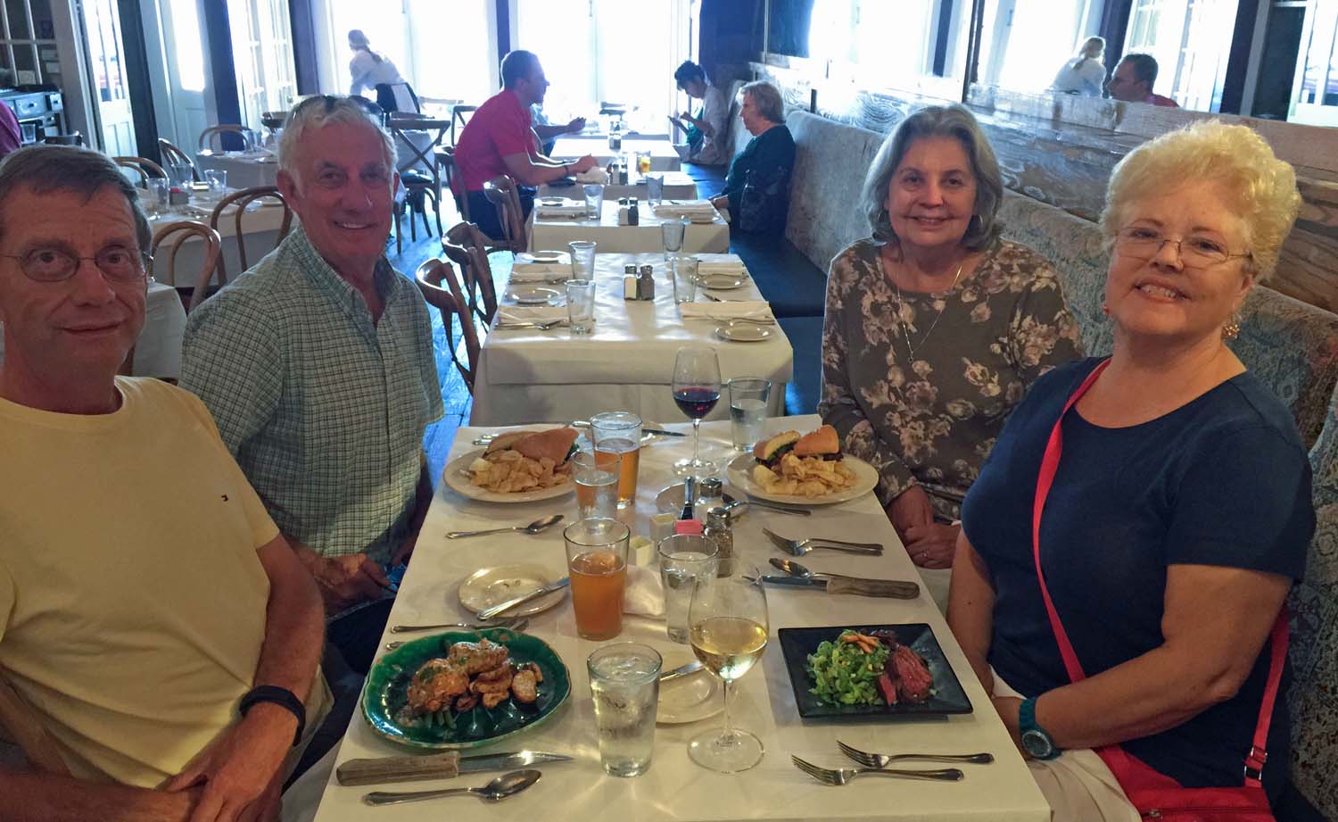
We hear a flop. Something fall from the boat? It’s good to see our friends again these last three days.

We ended up three nights at Eastern Shore while we got a few minor things done to the boat. Since we arrived Saturday and no one was there Sunday we had to wait until Monday to get the rear shower sump pump and a diesel leak fixed. While they were at it a couple of other things were found, so we fixed a water pump housing seal, replaced our main fuel filters and some fan belts and did not get out until Wednesday morning a bit late.

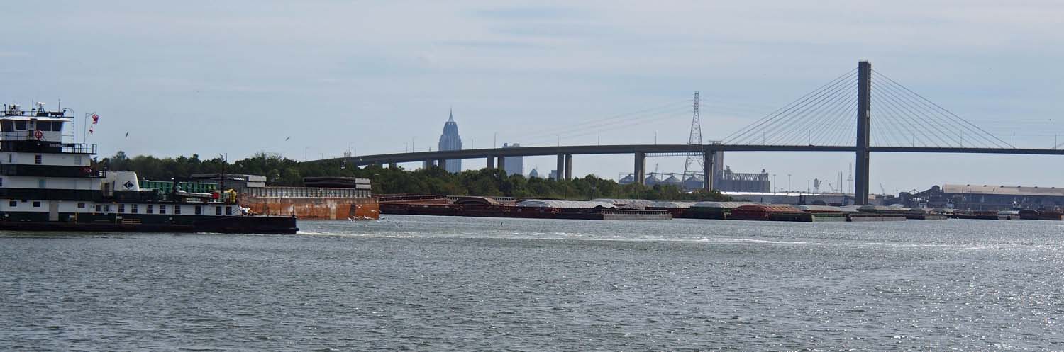
Now we know it’s Florida. More development along the ICW.

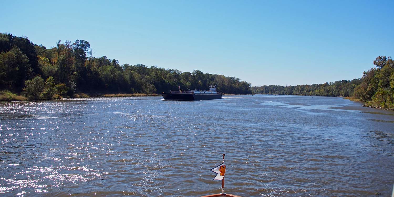
Still a lot of country in the FL panhandle. Some other areas have only modest waterfront houses.

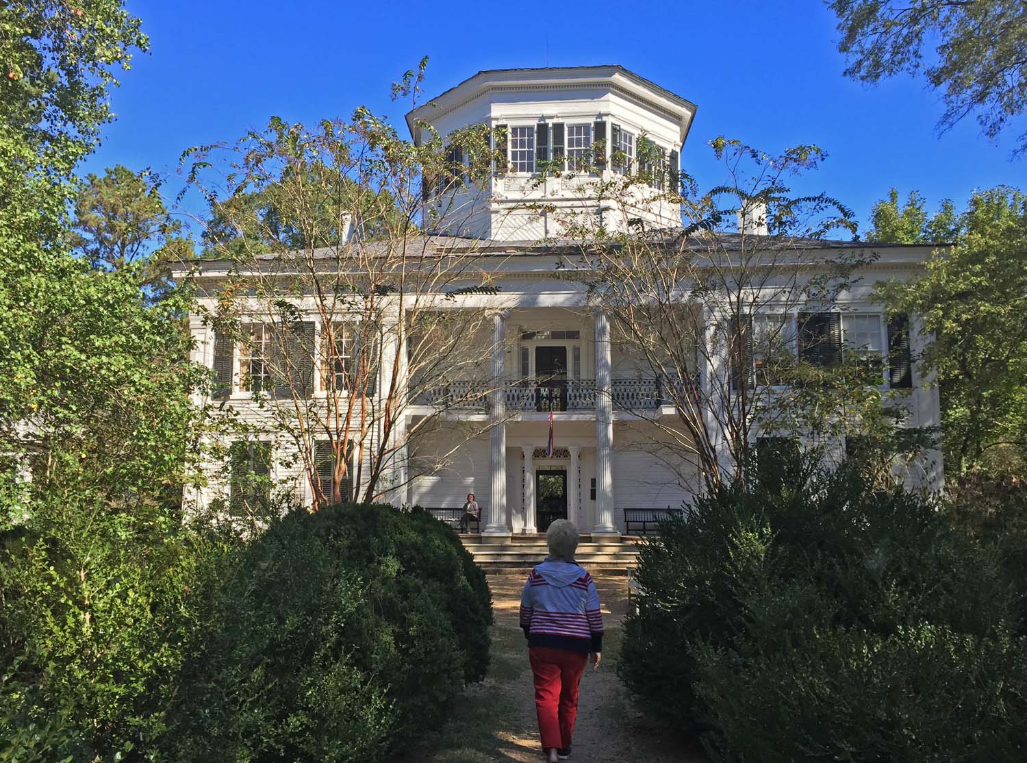
We ran to Palafox Pier Marina in Pensacola FL on Wednesday, then St Andrews in Panama City on Thursday and finally here to Apalachicola Face Dock on Friday. We are now waiting here for a “weather window” to cross the Gulf. Palafox and St Andrews were fine places but we saw little there. Downtown was close enough that we got of the boat and went to nice appearing but unmemorable restaurant in Pensacola.

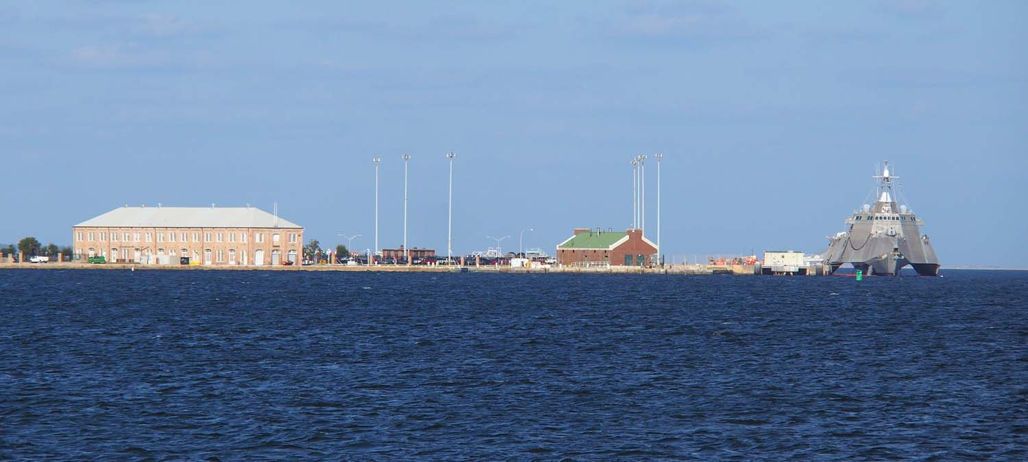
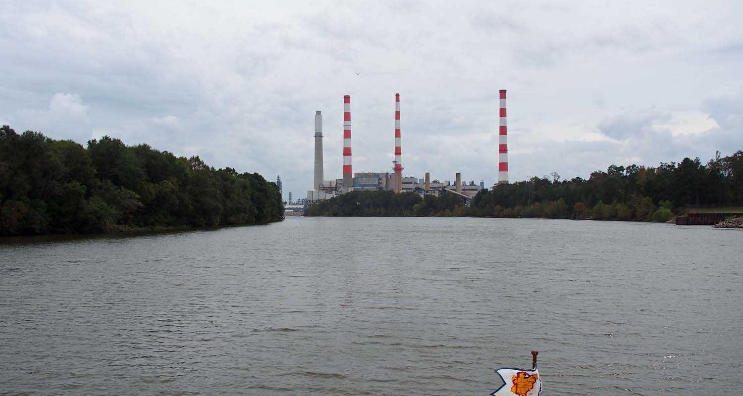
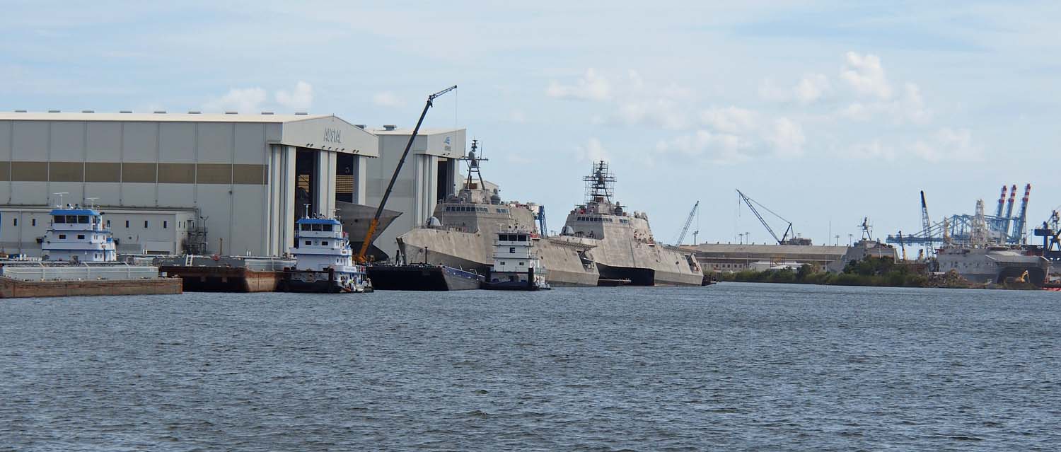
Part of the Pensacola naval bases. That thing aimed at us on the right is like what we saw in Mobile.

I thought we might come into St Andrews in the dark, but we finally got in at 6, with a half hour of twilight to spare. Dave and Barb from the DeFever club helped us tie up and joined us for a bit of wine. We were headed for Carabelle, from where most loopers start their Gulf crossing. They are on their second loop and said Apalachicola, with a nice downtown right off the boat, is a much better place to wait. It is 20 miles west of the ICW exit at Carabelle, but you just start your Gulf crossing 2 hours earlier and it’s all the same.

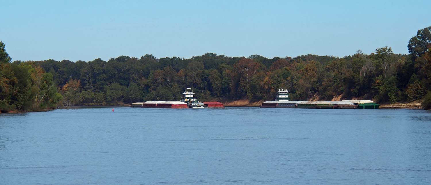
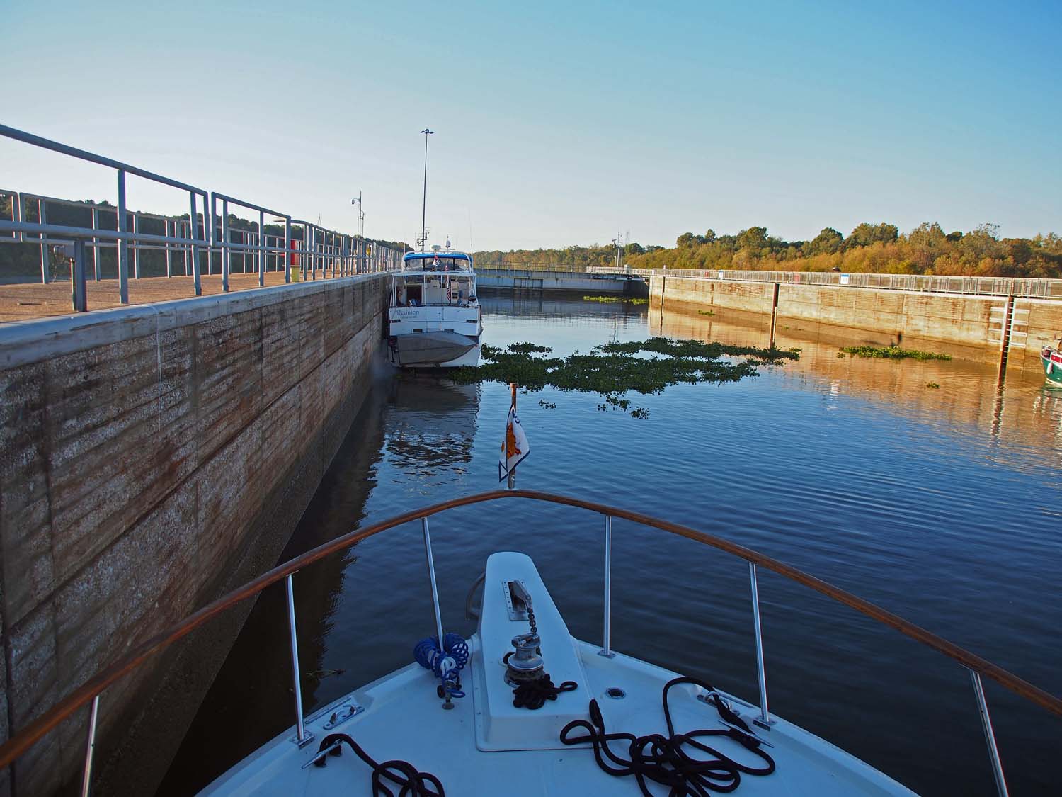
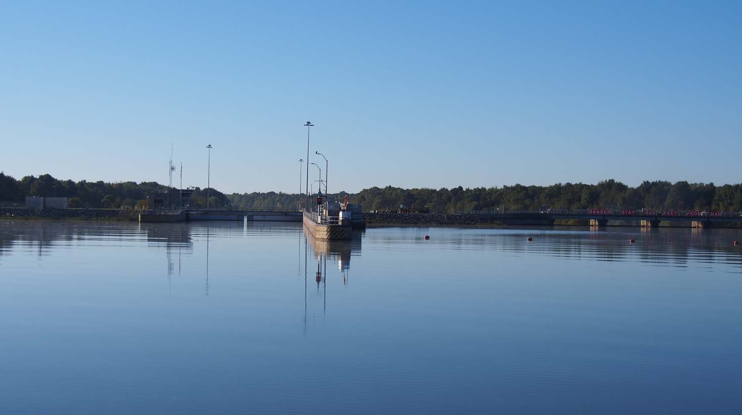
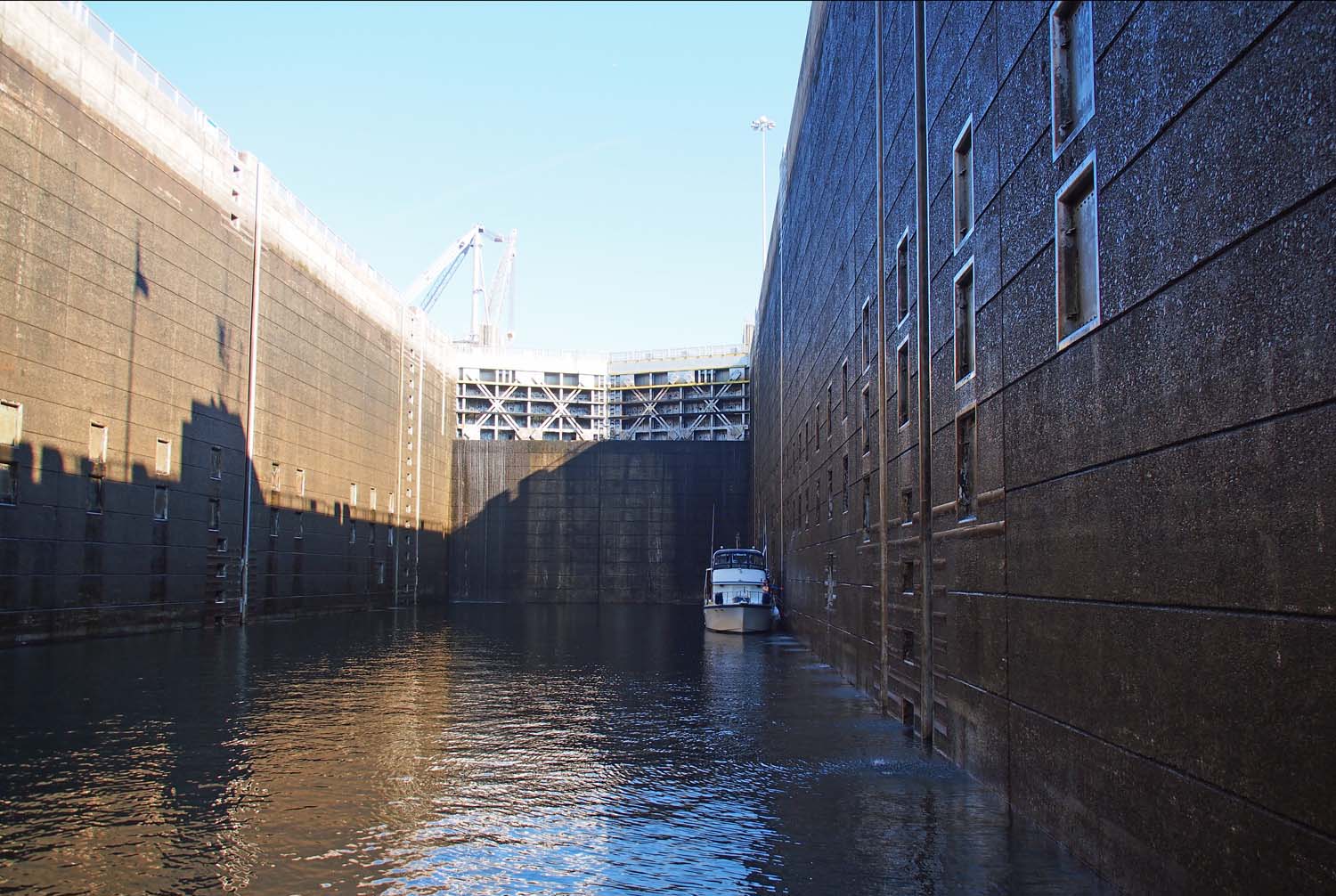
The charts warn not to share this channel constriction with a tow. At another like this I had to stop for a tow.

My able first mate is always on the alert.

So here we are in Apalachicola parked right behind Dave and Barb’s boat Hallelujah. It’s Saturday night and currently looking like we might have a window on Monday.

The north half of the Florida west coast is very shallow for miles out. There is no ICW past Carabelle until it takes up again just above Tampa, so there is little alternative to just crossing the Gulf of Mexico straight from Carabelle to Tampa. It’s 180 miles and so will take us about 18 hours. We’ll start during the day to navigate out of the ICW and cruise the open Gulf overnight, coming into the Tampa coast area with its many crab pots and other things to dodge mid morning the next day.

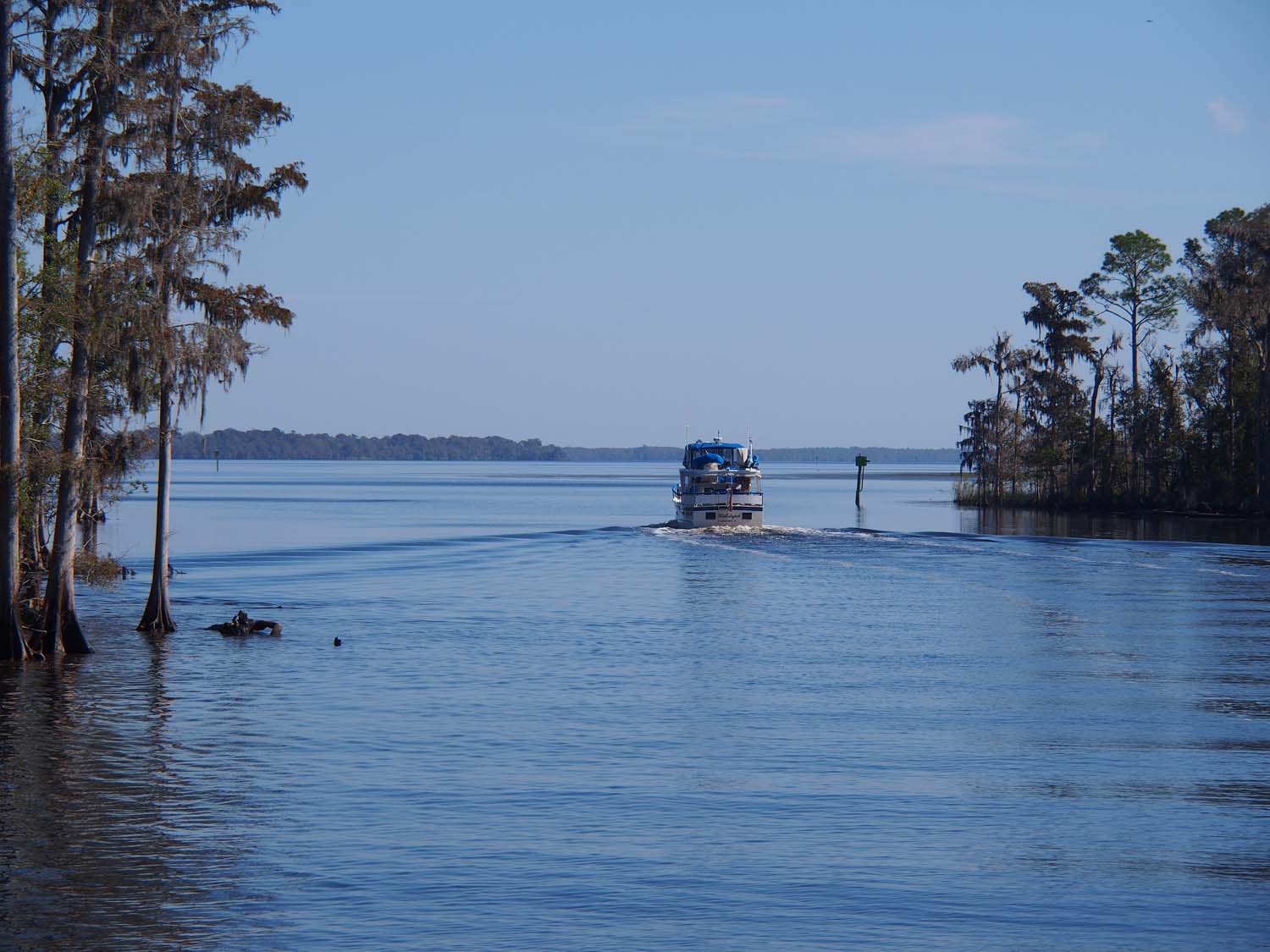
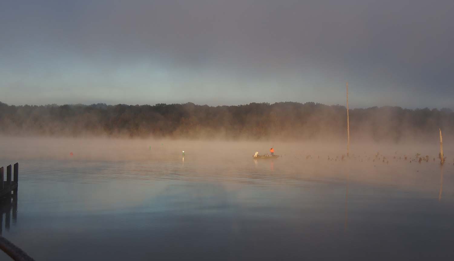
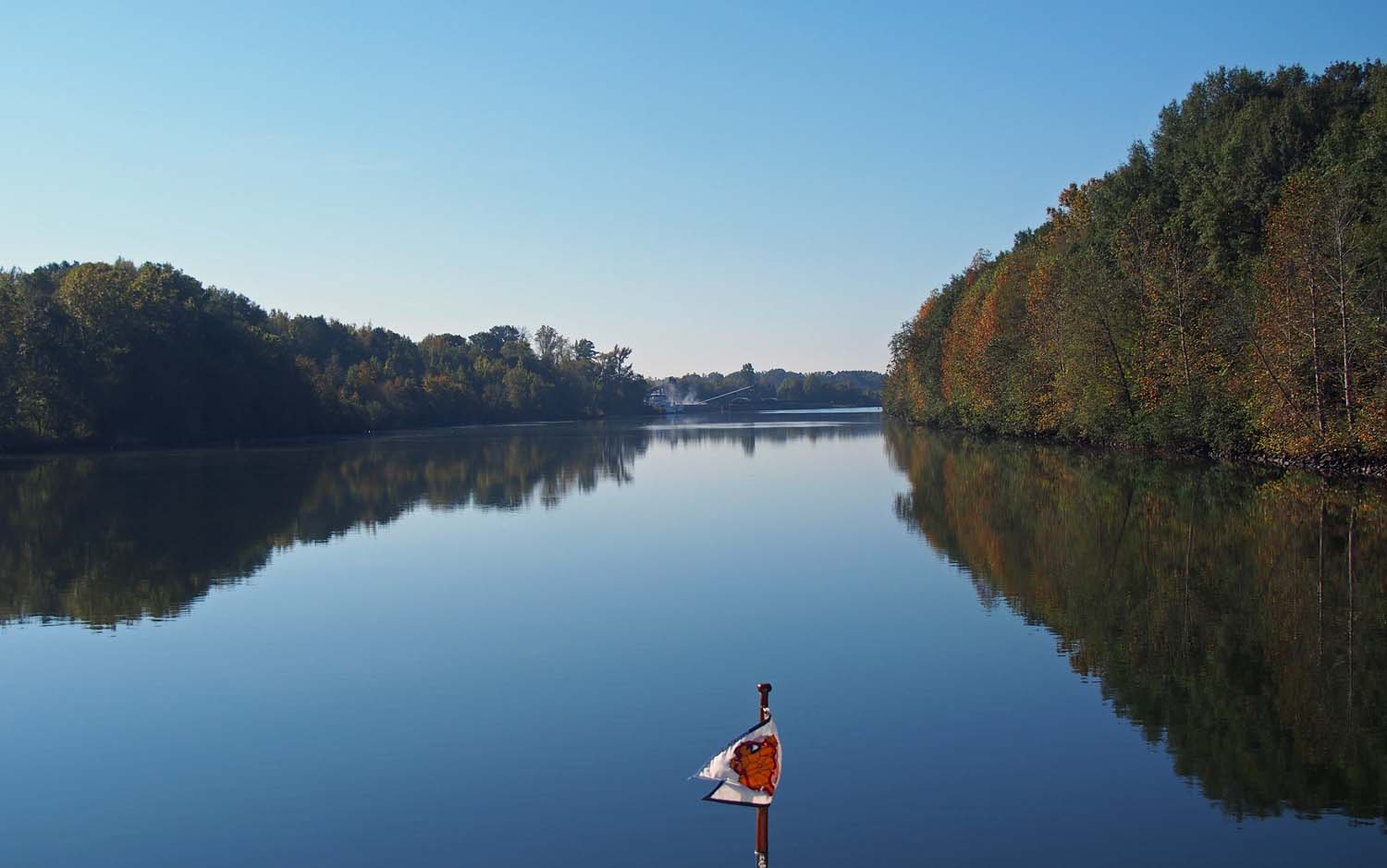
Hallelujah leaves a canal and heads into a channel through a shallow lake.

When just for fun I checked last Sunday the Gulf wave heights were 12.5 feet. That means if I were up on the fly bridge some peak wave heights would be about eye level. So we wait and watch the NOAA wave height predictions. At the moment this Monday looks good for leaving. Stay tuned.

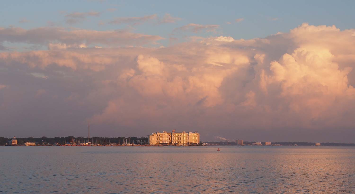
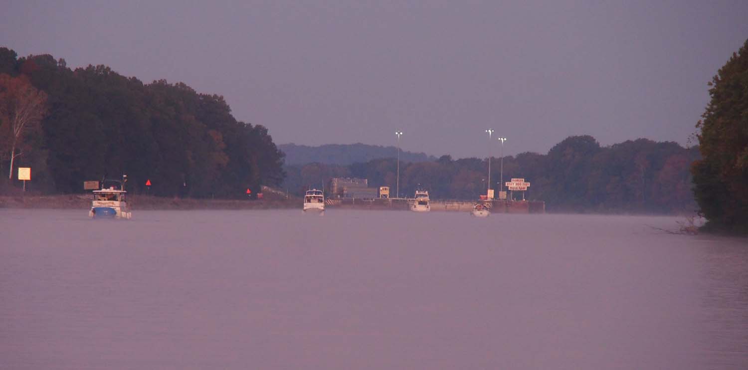
Approaching St Andrews Marina, just left of high rise. We cut this close, but arrived before dark.

Standard

Eastern Shore Marina, Fairhope AL

Looking west into our anchorage lake just before we left.

I got up at first light Saturday morning and noticed Reunion just going out into the channel. We were in no hurry and took more than another hour to get going. We would later meet Reunion in Mobile bay as we neared our marina.

Our second anchor, though much smaller than our main, held like a champ. I don’t think the boat moved more than a few inches in any direction all night. Having no wind or current helped that, of course. It held so well that when we backed off the main anchor to get the swim platform right over it I could not pull it up. Finally I got the chain as tight as possible and held it bent over the swim platform corner and bumped the boat a few feet backward. That finally released it. Earlier I was thinking of getting a larger stern anchor, since I could handle a heavier one that what we have. Now I think I’ll stick we what we have. Anything harder to get out may end up being left behind.

The last of a number of power plants we passed. I think most are coal fired and use barges to deliver the coal.

The trip was uneventful and the weather good if not outstanding. It got a bit windier when we reached Mobile Bay, but no significant waves. While the city of Mobile is not impressive from the river with few big buildings visible, the amount of river industry maybe exceeds the Norfolk area if you subtract the naval presence there. This ranks up with Norfolk and Cal Sag as the three big industrial areas we passed through on the loop.

The outskirts of Mobil. Passed may docked barges and a lot of tow boats.

We entered the shipping channel in the bay right after passing through Mobile and the industrial part of the river. Early on we passed a dredge. I wish I had taken a picture of that dredge, since we had a lot of trouble with it. We continued due south on the channel for 4 miles to marker 72.

Reunion, who I had just caught up with, followed by us, turned 90 degrees left at marker 72, following the instructions to get to our marina on the east side of the bay. As we turned the dredge called me and told me to STOP and asked the name of the boat ahead (Reunion did not have AIS) and then called them and told them to turn around and go back. Turns out the dredge spoils (output) line extended 6 miles south of the dredge along the left (east) side of the shipping channel clear to marker 68. He especially yelled at Reunion, which had gotten a fair ways to the east before stopping. He claimed his lines were marked, but neither of us ever saw anything to the left of the channel. There were some very small white markers way out to the east, but they just looked like a few small pipes a few inches in diameter sticking up a few feet. How were we supposed to know they indicate dredge spoils conduits just below the surface?

No naval presence here like in Norfolk, but there is a company building these things. They’re not fishing boats.

Looks like an offshore oil platform. Saw only this one.

Anyway, neither of us hit anything. But how to get to the marina? The charts indicated spoils from previous dredging dumped all along the east side of the channel, so we couldn’t just plow through there. The dredge guy said to go down past marker 68 and then turn left. When questioned he had no idea if that was a safe route. His spoils lines stretched to marker 68 and he just did not want us going over them (I assume we did not want to go over them either). Anyway, we consulted the chart on the iPad and decided there was a gap in the spoil area a little further down and turned east there. We were able to cover the 7 miles to the east side of the bay and our marina without further emergencies.

Eastern Shore Marina is a bit old and funky, but they parked us under cover, which might be handy when we get outliers from that big Mexican hurricane the next few days.

Standard

Our last River Anchorage

Okatuppa anchorage in the morning before we left.

Today was another partly cloudy pleasant weather day on the river. Days are slowly getting warmer as we go. We backed out of our anchorage. I think I could have turned around, but wanted to try out our new engine controls while standing at the rear of the boat anyway.

As we came out we saw Reunion with Dennis and Carol coming in the distance. They had anchored 20 miles upriver from us and had probably started at first light. We didn’t get off until about 9 with me working on some plumbing in the engine room. Not the first time we’ve seen them since we had lunch together in Demopolis. Our Okatuppa anchorage was a few miles upstream from Coffeeville, the last lock on the Tombigbee, so we locked down together with them.

A number of our anchorages look like this gap in the trees as we approach them on the river.

They called us and mentioned they would be going to Three Rivers Lake anchorage where we also planned to go. The day was pleasant and uneventful, and we arrived and Three Rivers about 3:30. The channel in was long and winding. It would have been scary but for the number of reviews on Active Captain saying that it had plenty of depth in the center all the way in. I did see 8’ at the end of the channel, but never less than 10’ elsewhere.

The channel was very narrow with tree branches sometimes scraping the hull as we idled along. There was absolutely no way we could have turned the boat around. Had the channel become too shallow we would have to back out all the way, which would be quite a feat.

Our hull scraped branches on both sides at the same time on several occasions.

After about 2000’ the channel opened out to a small lake with room for several boats. We proceeded another 2000 feet into the lake and found, as the reviews said, that the depth decreases quickly there. We may have been a bit aggressive in our exploration and ran aground. We wallowed around for five or ten minutes before I got us out. For a few minutes there I was wondering what we would do if we really got stuck way back in there.

We got to try out our rear anchoring techniques again and have things down to a science now. Like a lot of things we’ve done with the boat, what seemed a bit scary turns routine with just a few tries. This stuff really is not that hard.

You might note that running aground remains scary. I’m resolved to do it less in future. I will say that this boat is built like a WWII LST. You run it aground, you back it off, and it seems none the worse and runs just fine.

Reunion anchored ahead of us. Trust Me as it enters from the channel.

A few hours after we arrived Reunion pulled in, and then an hour or so later, just at last light, Trust Me came in as well. There was plenty of room for all, especially since two of us used rear anchors and did not move at all.

Standard

Okatuppa Creek

We early into the Demopolis Lock. Another joined from an anchorage to right. Some mist still low on water.

Since we entered the Tenn – Tom we’ve passed mile markers on our charts. These start at 450 at Grand Harbor Marina where the Tenn – Tom turns off from the Tennessee River and count down to 0 in Mobile Bay just short of the Gulf. Nearly every looper stops at the last significant marina on the Tombigbee in Demopolis and then finds anchorages after that. After leaving Demopolis at mile marker 216 we needed two or three more anchorages before we reach the bay. We picked Okatuppa Creek at 123 and Three Rivers Lake at 64.

OLYMPUS DIGITAL CAMERA

In the Demopolis lock. Daylight broke as we locked down.

We found that several others were leaving Kingfisher Marina at first light, 6:30, so we did the same. We all were to reach the Demopolis Lock, 3 miles away, at the same time. This is the second to last lock we will see until we go through the Okeechobee area of Florida.

Five of us left the marina and an additional trawler joined us from the Foscue Creek anchorage just above the lock. Some of us had called ahead so we knew the lock would not be tied up with a tow. We went in as fast as we could (not very fast) and the six of us locked down.

After the lock we soon spread out. Two boats faster than us disappeared ahead and the rest fell behind. It was another good travel day. Partly cloudy with little wind or what there was following with us.

Tow disappearing around a corner. At 3.5 mph relative speed, it was awhile before we passed him.

Tows passing. The one on the right still waited as we passed because the tow we already passed was still coming.

It must have been tow day, because we met several tows going each way. When we’re going 10 and a tow goes 6.5 mph on the narrow Tombigbee passing develops into more of an art. Our relative speed is not much and it takes awhile to pass. If it’s pretty narrow they seem to ask us to pass on the inside of the curve. As we come alongside the barges they start moving into us, leaving just enough space between us and the bank. As we go by the front the corner of the barges it is just moving into the position we vacate. It can get close. I think the barge captain prefers this way because if things get dangerous or we do something stupid he can force his boat the other way, pulling the front barges away from us and the inside river bank. He would not be happy about these barges running up the outside bank, but I’m glad he’s willing to trade that for us staying alive.

Fall color is still coming. We’ll miss its peak.

We picked Okatuppa both because it sounded nice (it was) and because its distance prevented most boats, which are slightly slower than us, from conveniently reaching it in a day. Boats that are faster are usually quite a bit faster, and will bypass it. It proved to be a very quiet and relatively narrow creek. We went about 500 feet up to leave room should another boat come, since they could not get by us. I don’t think anyone else is coming tonight, though. We are pointed nose upstream and used a rear anchor for the first time, since there is no swing room at all. I was concerned how rear anchoring would work for us, but it turned out very easy. Our wide rear swim platform makes a great place to work with the anchor.

Standard

Kingfisher Marina, Demopolis AL

Took few pictures today, but this shows the weather after we started out.

Our Sumpter anchorage was just 4 miles above Howell Helfin lock, so as usual everyone left around the same time to hit the lock together. It’s always this way if we stay just above a lock. If one boat is a half hour late the lock will usually wait for it, so we try to get there within that window. Being strung out a bit is not so bad. We have to go in slowly and one at a time anyway, so it does take time just to move four boats into the lock.

Current must must be huge at times. They often concrete the outside of bends in the river to prevent erosion.

In Demopolis we visited the Gainswood, a Greek revival home build before the Civil War. I don’t include many photos of places like Gainswood or Waverly since there is a wealth of information easily accessed via Google. We went in the marina car with loopers Dennis and Carol from Reunion, a boat we had seen off and on along the river. That way we each could sign up for a 2 hour slot, and had time for a tour, lunch at A Slab and More Barbeque and picking up a few supplies at Vowell’s supermarket.

Kingfisher Bay Marina is larger than we expected, and the first we’ve been in except huge ones like in Charleston that is open 24 hours a day. Turns out it is the last marina on the Tombigbee that is north of an arbitrary line drawn by the marine insurance companies regarding hurricane season. We’re not to go south of that line until November 1. You might remember that we previously had to get out of Florida, making us “rush” to Brunswick Landing Marina in June of last year. That is the first large marina on the Atlantic coast that is also above the line.

So that is why Kingfisher is so large. Many from Florida must store their boats here for hurricane season.

T7Gainsville

Gainsville was pretty elegant, but strange in layout. It was built in stages, starting from a log cabin.

Standard

Sumpter Recreation Area Anchorage

Before the Columbus Lock we had turned off the river to go to the marina. Five of us got there for an early ride.

Columbus was great, and we’ll be there again next year, but we have to move on toward Demopolis, the last town we’ll see before the gulf.

We went through two locks today. The Columbus and Tom Bevill locks. Columbus came immediately when we left the marina, and the next lock was about the halfway point. Mornings have been cool, but it warms up around noon, so we’ve driven upstairs all the time on the Tombigbee.

Few tows today. Just this small one.

We are anchoring in a very small bay in Sumpter Recreation Area, 65 miles downstream from Columbus. This has a 100 foot entrance off the river west side that widens out to no more than 300 feet.

We can not go in more than 700 feet. We’re a bit over to one side to leave room for the three more boats that came in after us and anchored as well. It is shallow, so we all have little anchor chain (called scope) out. Swinging into each other is still possible but not likely. There should be no force if it occurs. The last boat was smaller, ran its nose aground and tied to a tree, so it won’t be moving.

Passing by Pickinsville with an old river boat they put up on land. The Bevill lock is a few thousand feet past this.

It’s nice to be alone, but that will be less likely as we go south, since there are fewer anchorages. Nearly everyone using them will be loopers. Still it is quiet. If anyone has their genset on we can’t hear it.

While days are mostly sunny, some cloud cover has come back, and the starry nights we saw at the marina 3 miles out of downtown Columbus are no longer seen. We had hoped to do more star gazing on this trip. We probably could have if we had anchored out more. Hopefully we will see more stars when we take a planned trip to the Bahamas early next year and anchor out most of the time.

With no wind and no current, we let the boat swing. It got within 15′ of the bank a few times.

Standard

Columbus MS

T5Whitehall

Sue on the porch of Whitehall, and elegant southern town home in Columbus.

We stayed in Columbus longer than we anticipated. There’s just too much to see here. There are a number of antebellum homes here, with many available for tour. We have seen Whitehall, Amzi Love, Stephen D. Lee and Waverly Plantation historic homes. We also visited at length with town historian and author Rufus Ward in his home.

We first stopped by the Tennessee Williams Welcome Center and told the lady there we liked historic homes. She called Joseph and Carole, who invited us to come right over and visit them at Whitehall, a large southern mansion that has been in their family since before the Civil War. We were shown all through the home with its furniture and artifacts dating way back. After our tour they took us out to lunch along with town historian Rufus Ward, who may know more about everything that ever happened in Columbus (and an awful lot did) than anyone else. That led to a tour of Rufus’s home which retains all its original furniture, dishes and much else from before the Civil war.

T5Lunch

Left to right, Joseph, Sue, Carol, Rufus, and Joseph’s and Carol’s son.

With tours like these you can’t possibly do more than two in a day, so the next day we were led through the Amzi Love home by its owner Sid Caradine, the 7th generation of the same family which has always owned it. All furnishings, dishes, pictures, knick knacks and everything else in the home dates from before the Civil War and belonged to the home’s original owners. Sid is the first male owner in over 100 years. He claims female ownership, in many cases by women who did not marry (it was then left to nieces or nephews), was responsible for the few changes in the home or its contents over the years.

T5AmziStuff

Everything on this table, the table and everything else in the Amzi Love home belonged to the original owners.

In the west we don’t even live out one generation in a single home, let alone seven. We only know our ancestors as far as grandparents. They talk easily of great great grandparents and beyond here, with all of them living in the same place. The South is different from other parts of the country.

T5Cemetary

All of these tombstones say the same thing as the one in front.

We also toured the Steven D. Lee home and the Waverly Plantation Manor. Waverly was amazing, having been restored over the last 25 years by its current owners. Before that it sat vacant and abandoned for 50 years. It was a popular place for kids to gather and was where everyone took their girl to propose. With all this use nothing was ever taken or vandalized. Windows were not broken and the roof held out so the only problem was paint flaking. Chandeliers, mirrors above mantles and the marble mantles themselves all remained intact. So many Waverly furnishings are one of a kind and date from way before the Civil War.

T5WaverlyExt

Melanie waiting on the porch for us. Again, it was just Sue and I touring with the owner, as with all the other homes.

T5WaverlyDesk

The desk behind was always there. For 50 years kids and others left messages for each other in the pigeonholes.

T5Waverly2nd

On the second (of four) floor at Waverly.

We’re running on overload here. We’ll still have plenty to see when we stop by here on next year’s loop.

T5SGAlone

Star Gazer alone at the end of the dock. Boating season is ending here, but the weather is still great.

Standard

Columbus Marina

At Midway when we got up to leave. Temperature in the low 50’s last night. Water is 72.

We left Midway Marina with a light mist on the river and almost immediately came to the Fulton Lock. We waited about 15 minutes for that and the next lock 15 miles away. We locked down alone in both.

Approaching the Fulton Lock 3 miles past Midway Marina. Gates just starting to open.

As we started the 5 miles to the Amory Lock our AIS showed a tow just entering it to lock down. We slowed way down but still ended up waiting awhile before we could get in. We passed the tow on the way to our final lock of the day and were able to get through Aberdeen Lock before the tow could arrive. That was the only time we’ve ever waited for a tow at a lock. In talking to other loopers we have apparently been fortunate. Many have waited a number of hours while a tow breaks up its load and passes it through in several lock cycles. Our tow was small and fit entirely in the 600’ lock.

This is what they mean by smooth sailing. Our way is to the right.

To get to the Marina we proceeded toward the Columbus Lock, turned just a few feet short of the guide wall and followed buoys across the pool above the dam to the Marina which is just off to the side. The lake above the dam is fair sized but very shallow. We had to follow a narrow dredged channel to the marina basin.

No smooth water here. I came up on the tow ahead as it was passing another. Got beat up a bit in the prop wash.

At 25,000 Columbus is the largest town on the Tenn Tom, and the largest town we have seen on the water since we passed Paducah on the Ohio River. Some miles downriver we’ll hit Demopolis AL and then it will be nothing until Mobile AL. This is probably the most remote stretch of the loop. Because of this we plan to get to a Starbuck’s with good WiFi tomorrow (yes, there is one in Columbus, the first Starbucks we’ve seen since St Louis) and try to get all this blog information posted.

Standard

Midway Marina at Fulton MS

T3OxfordRestaurant

Lunch with Frank and Relda in downtown Oxford MS, home of Ole Miss University.

None of the towns along the Tenn Tom are big and Fulton MS is no exception. There’s no WiFi anywhere, cell phone coverage does not work most of the time and the nearest rental car office was 30 miles away. Our marina is 3 miles from Fulton so we dropped the motorbike and went out for a visit. We drove through the very small downtown and no one was home. What stores they had were closed. Google maps did show a couple of restaurants in that area but the information appeared to be historical.

T3OxfordCourt

The old courthouse at the center of Oxford MS town square.

T3OxfordSq

Part of the Oxford MS town square area.

The day after we arrived Frank and Relda picked us up and took us to Oxford MS, home of Ole Miss, or Mississippi State University. Oxford has a nice town square with the old courthouse in the middle and the old downtown buildings all around it. This downtown is still very much alive because of the university nearby. We also saw a number of fine old homes there.

T3ElvisPorch

With Frank and Relda on Elvis Presley’s front porch in Tupelo MS. He lived here until age 13.

The next day we visited Frank and Relda’s hometown of Tupelo MS which also turns out to be Elvis Presley’s home town where he lived until he was 13. He bought his first guitar at the hardware store which is still in operation downtown, and played his music in a small Pentecostal church which is preserved along with his original home at a museum which we saw.

Standard

Trip to Midway

T2AnchorAlert

Top white circle anchor, lower one SG’s current position. Spike a GPS anomaly, brief enough to not raise alarm.

We spent two nights at our East Mississippi Finger anchorage and got up at 7 to get ready to leave at 8. We’ve had a few cold nights lately where it got down to 52. With a water temp or 72.5 that can raise a mist, but this morning it was totally socked in with fog when we got up. We hoped it would improve by 8 and it did. We got the anchor up and slowly moved out through the sub channels more than a mile to get back to the main channel. The fog was still there, but at 8 we could at least see the bank on either side and a few hundred feet ahead.

Once we were in the main channel the Jamie Whitten lock was less than a mile away. The fog became a lot worse on the main channel. Our only eyes were radar and our GPS position on our charts. When we called the lockmaster he told us he could not see the upper gates from his control room, but said he’d open them if we still wanted to come ahead. Our chart and radar images for the guide wall and lock gates matched up nicely, so we went on and finally saw the side of the guide wall when we were almost up against it. We took it slow into the lock and tied up.

Heavy mist a half hour after we got up.

Morning mist remains, but fog appears gone around our anchorage.

The boat named Journey had left Bay Springs Marina one mile from the lock and, without radar, had to come to a complete stop in a sea of white. He radioed and asked if everyone could wait just 15 minutes to see if the fog might lift sufficiently for them to also get to the lock. Sure enough, 15 minutes later visibility improved to where he could move again and get over to the lock with us. By the time we had locked down most of the fog had gone, which allowed us a good view of the deepest lock on the Tenn Tom with an 84’ drop.

An 84′ drop. The deepest on the Tenn Tom. All Tenn Tom locking will be down to the gulf. Fog is gone.

Driving around in a fog like that may not be the safest thing to do, but neither is stopping in the middle of the channel and hoping you don’t drift the wrong way or that no one will run into you. Now that we’ve become accustomed to our instruments it seems safest for us to just continue on, although at a slower speed.

Clear sailing just out of the lock. Fog is gone down here.

After leaving the lock we also went through the Montgomery and Rankin locks. Overall it was only 20 miles from our anchorage to Midway Marina, so we arrived in Fulton MS before noon. Our friends from our Montana Mission Builders days, Frank and Relda, have returned to their nearby home town of Tupelo MS and will be coming by tomorrow morning to show us the area.

Standard