Beaufort NC

x

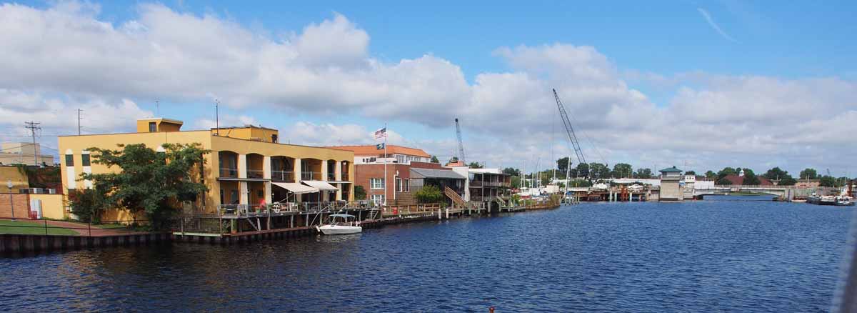
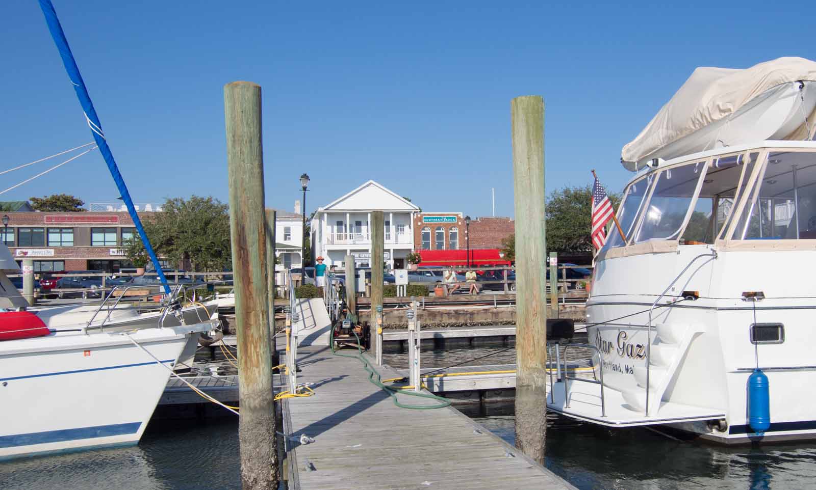
Looking from the docks toward town.

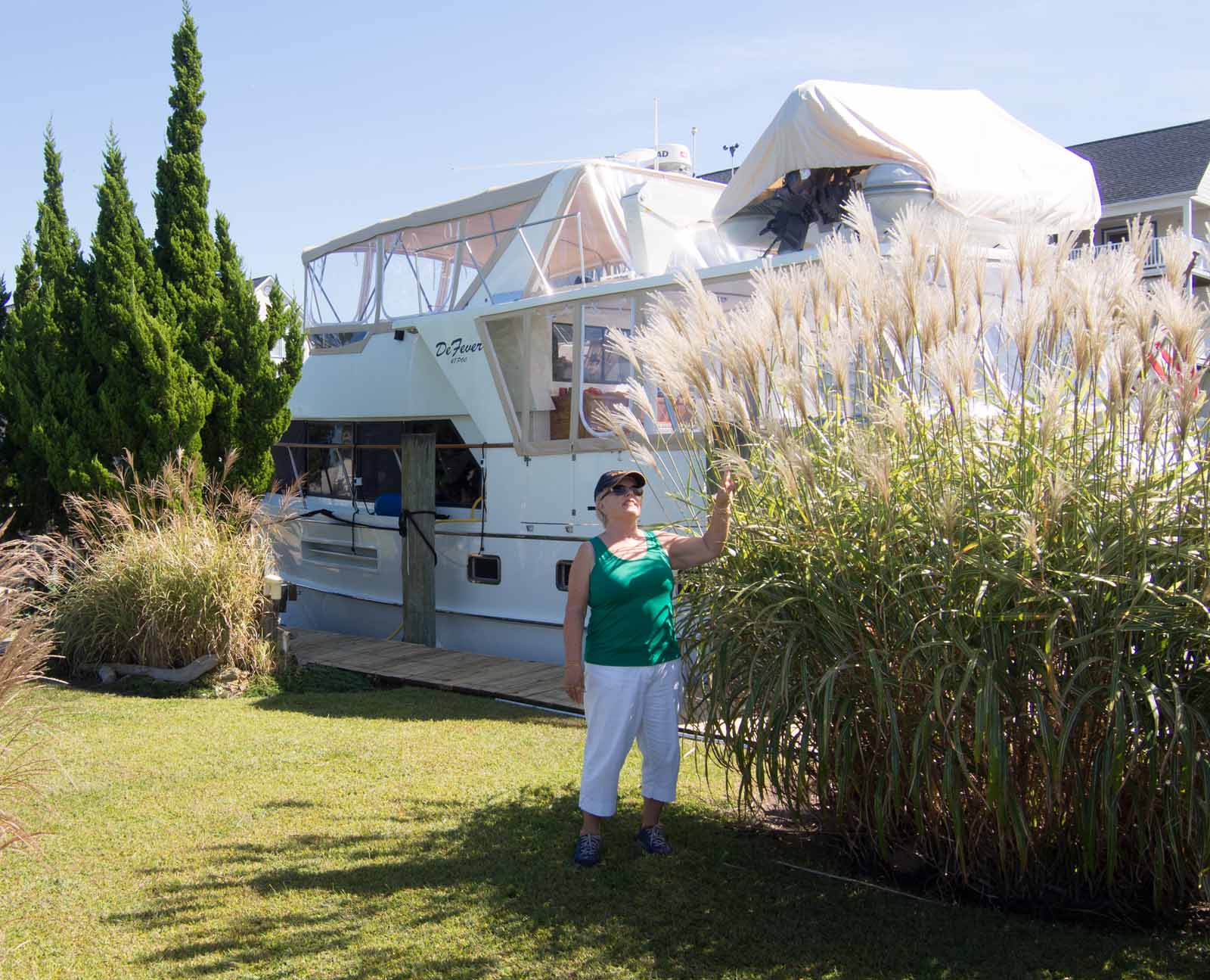
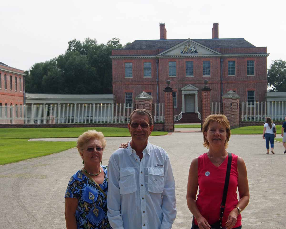
There is a Beaufort SC I already wrote about, then there is this Beaufort. Of course they are pronounced completely differently, otherwise how could you tell them apart? We’re here at Beaufort Docks marina, right downtown.

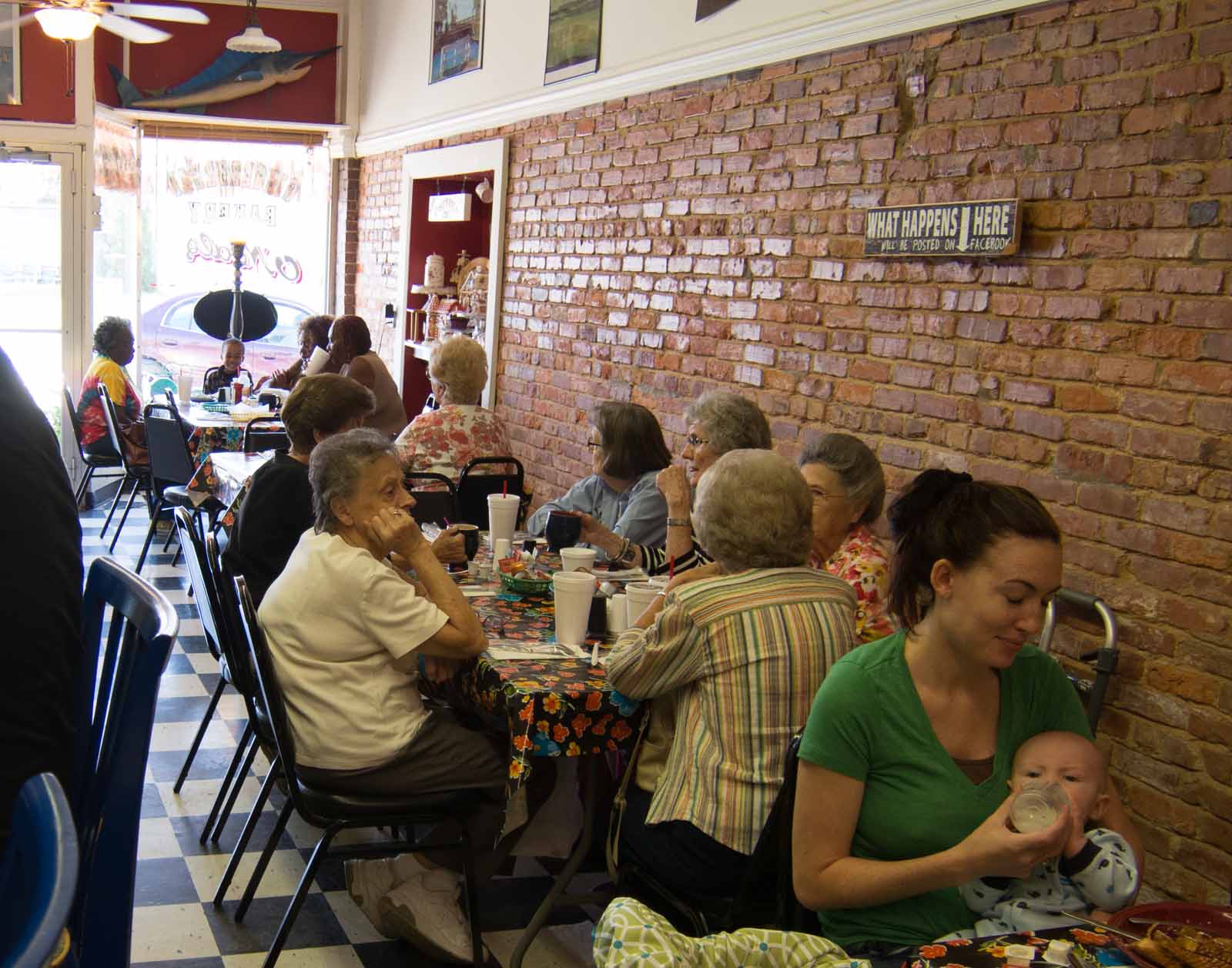
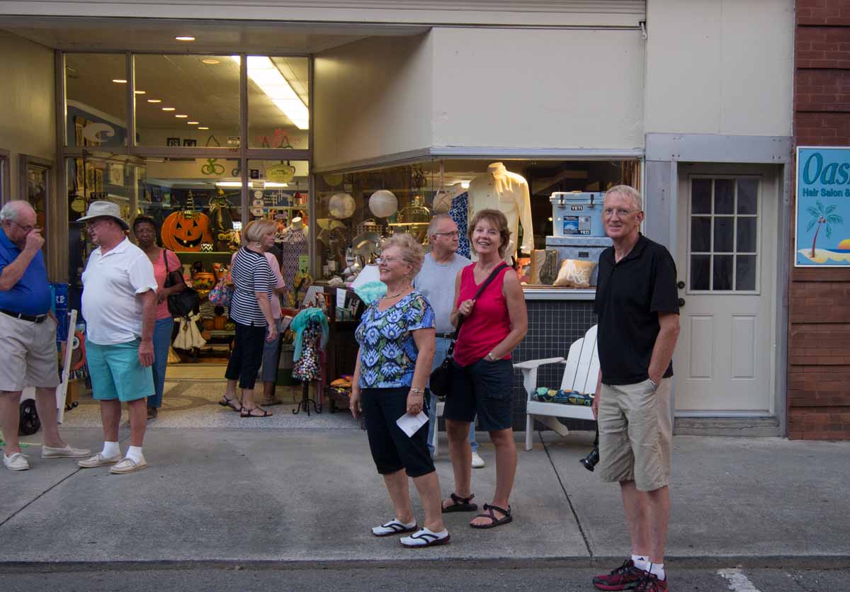
Sunday is our 2nd day here. There are a number of shops, old early 1800 buildings and restaurants right at the waterfront. We walked a block to the Methodist church this morning and spent much of the afternoon in the North Carolina Maritime Museum one block away along the waterfront. We learned a lot about the area’s favorite son, Blackbeard the pirate.

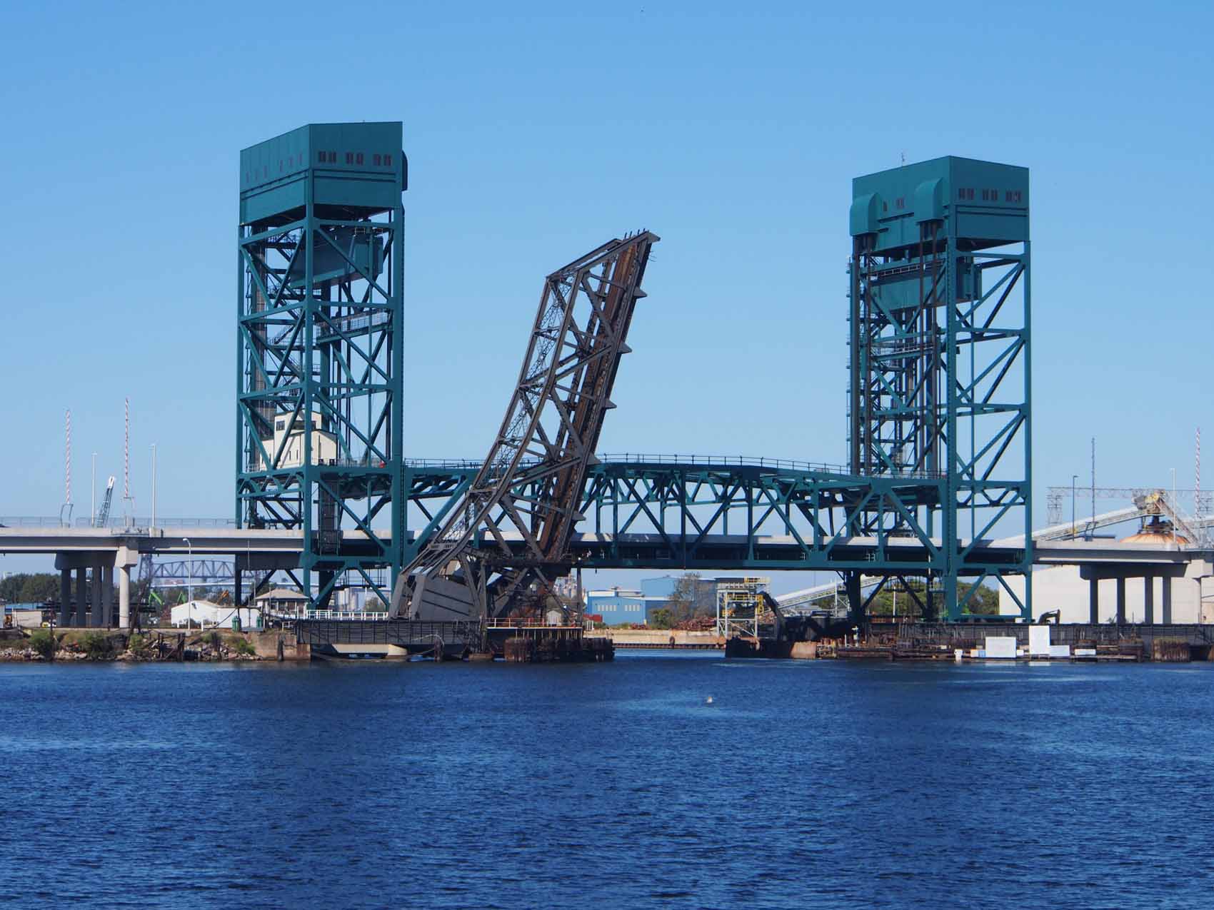
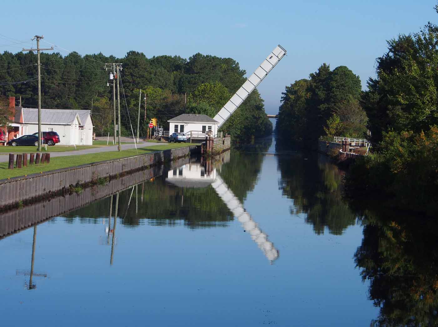
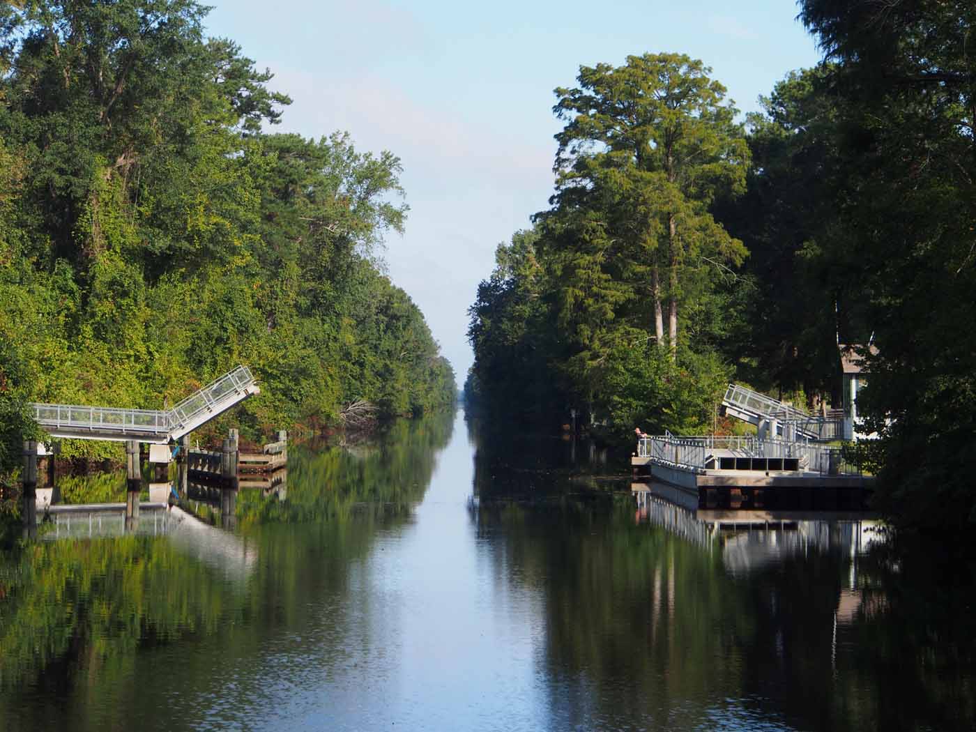
As we approached the Gallants Channel Drawbridge just a mile from our marina the channel right in front of the bridge was literally carpeted with small boats from rowboats to small runabouts. Apparently the fish bite really well there. There was no straight path to the bridge and its hourly scheduled opening came in a few minutes. The only path through was off near the edge of the waterway then hard left across half the river through the middle of the swarm and then hard right before I ran over several of them just past mid channel. Sue stayed in the back watching that I did not hit anyone in that area as I kept the boat positioned to get under the bridge when it opened. If our boat was any larger we would have been stopped completely.

I kept the radio handy in case someone was on the other side of the bridge. I had to come through first because I had nowhere to move but forward and there was no place for a boat of any size coming through the other way until I was out of there. We’ve certainly never seen anything like this. Later I called the coast guard and told them about the situation. They said to call them if I see that situation again and they’ll come and clear them out. They’ve done it many times in the past. And then I wait an extra hour for the next opening?

x

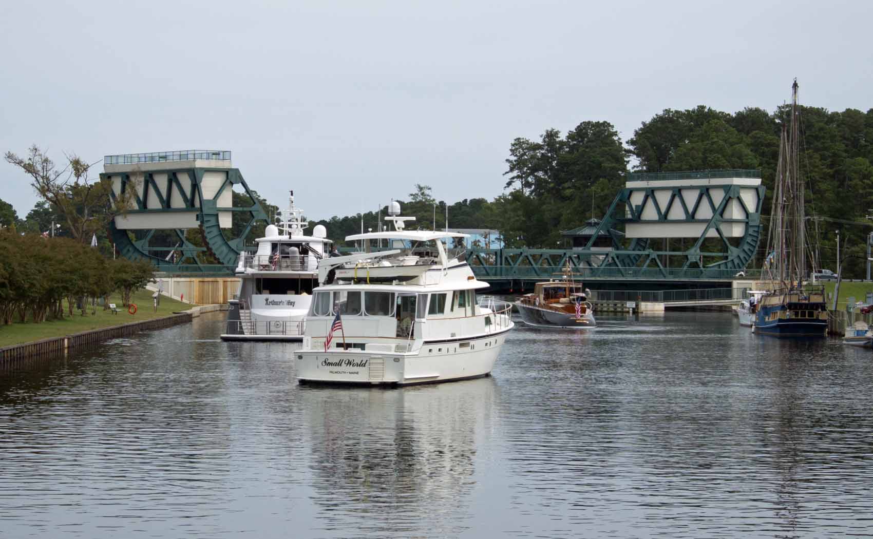
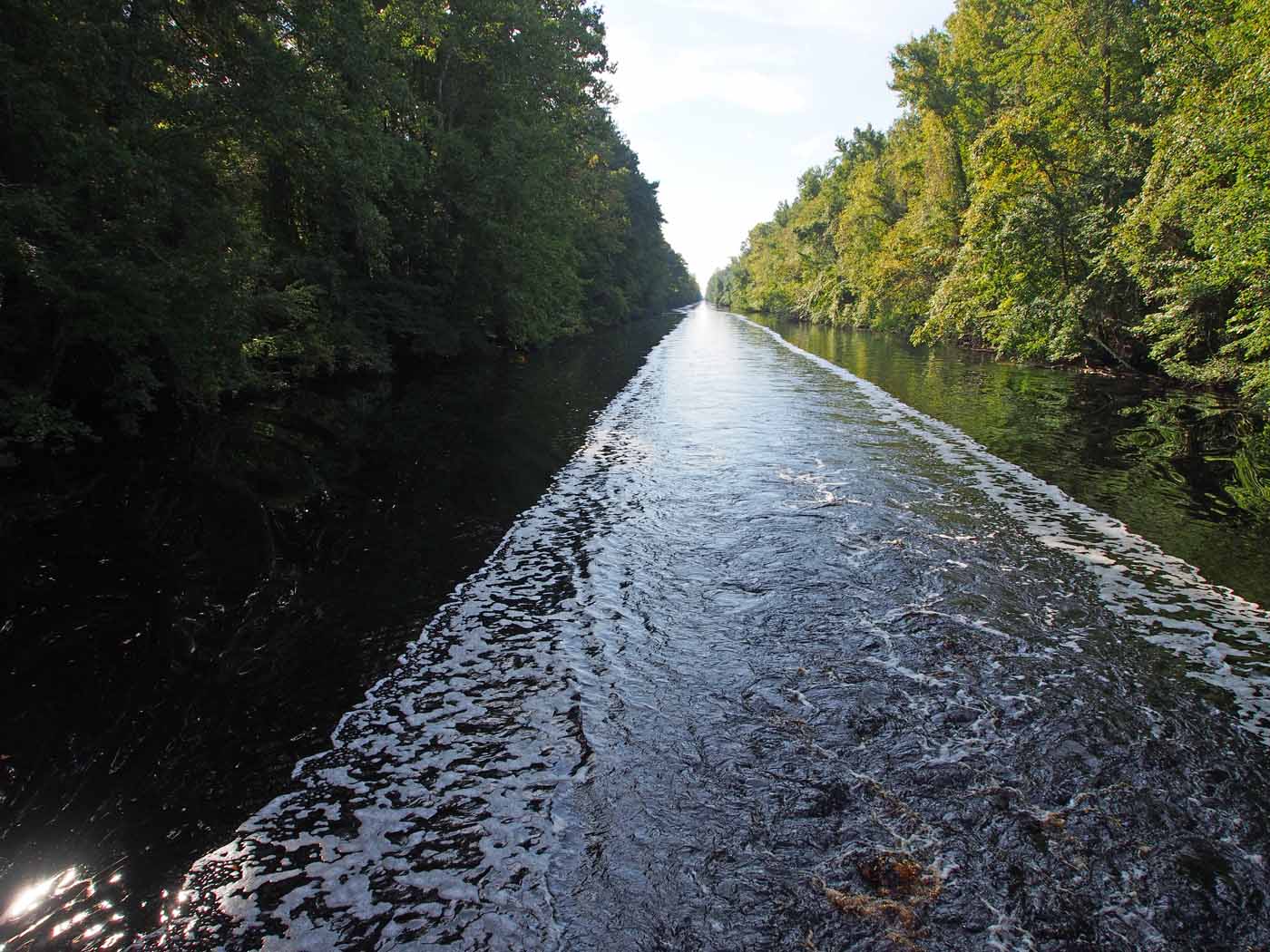
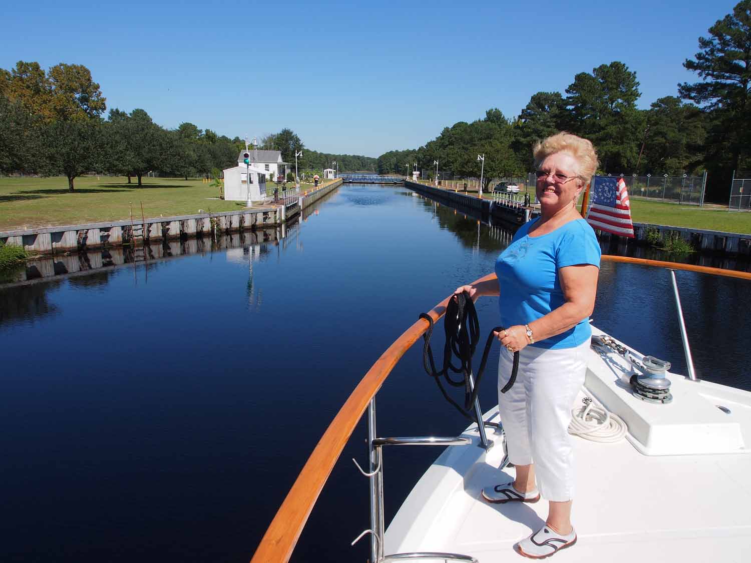
After we were through Sue took a picture. A few small boats but nothing like the other side.

I would have taken a picture of that situation but was too busy trying not to run over anyone.

We leave tomorrow morning early and will try to get through 4 “scheduled” drawbridges. Two open every hour and the other two every half hour. I think we can time it so we don’t have to wait too long at any of them. One of these is the Surf City swing bridge that I had some trouble with on the way up. I’ll be more careful this time.

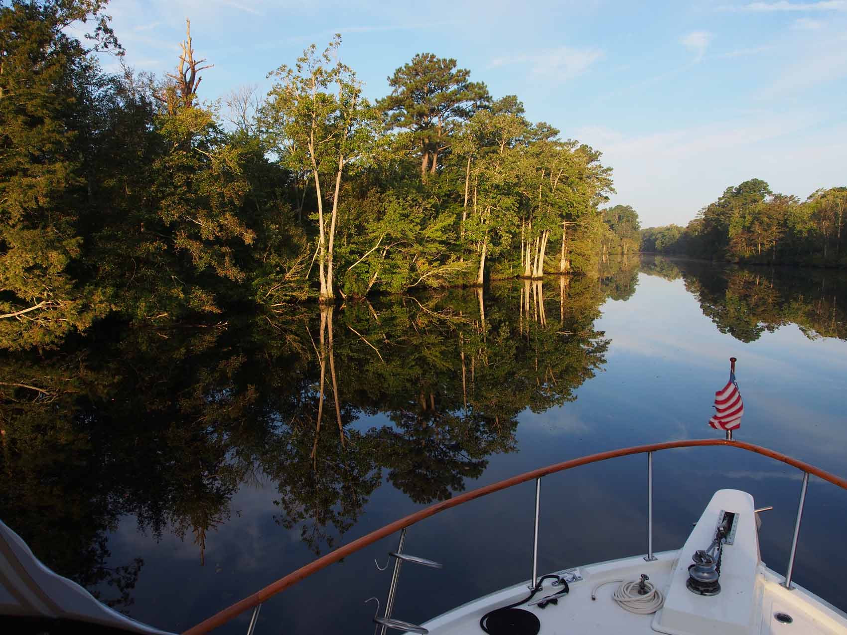
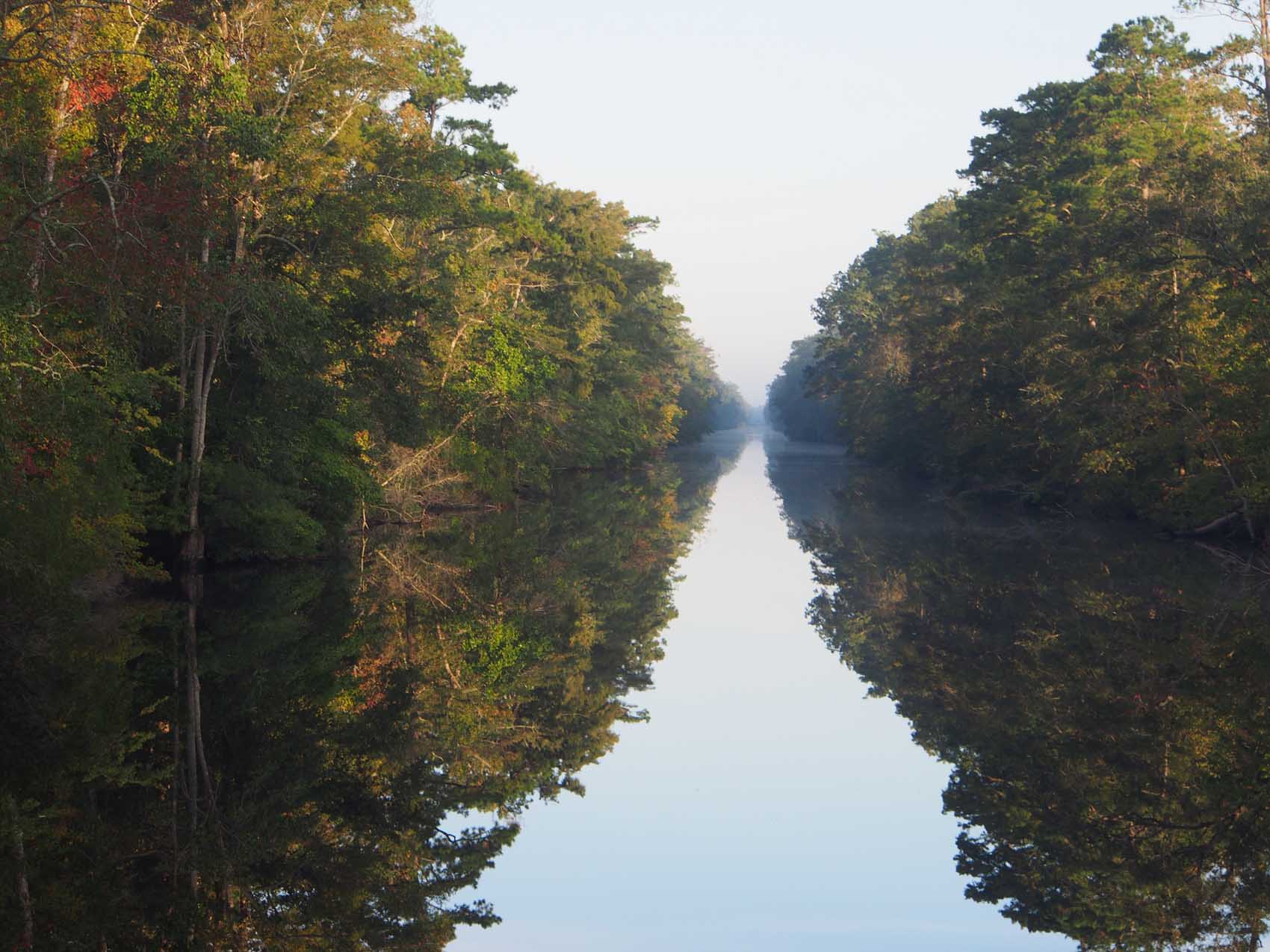
With all these scheduled bridges we are still taking it easier than when we came up. If we like a place where we stop we stay an extra day or two. If it is not too interesting we move on. Depending on the scenery our speed may drop. It’s a great way to travel if you’re not in a hurry.

Standard

Belhaven NC

x

Sue at Belhaven marina. A few hundred feet of lawn extends to the left.

After our Midway Marina overnight at Coinjock we left at 7:30 and reached Belhaven Waterway marina in Belhaven NC where we are now. This is the smallest marina we have been in. We missed its entrance twice. First we turned into a marina belonging to some condominiums. This was not made for boats our size at all. I couldn’t get far into it but getting out was still difficult. They saw us in there and radioed that it was the very next entrance, and I still missed it! Finally I backed up, went in passing three boats and pulled along the seawall. Our boat has to be near the limit of what they can take in here.

If there ever was a small “tucked in” marina this has to be it. No docks, just some pilings along a seawall with a boardwalk at the edge. They can fit 4 or 5 boats along the wall, depending on their size. You need to back up to get back out. We like it so much we decided to stay 3 nights, or was I just putting off backing out of there?

Belhaven is a small town of about 1400. It has two stoplights. One is down town, only a block up from our marina. The other is up town, about 5 blocks west of us. There are 3 or 4 small chain stores (Walgreens, etc.) uptown and none downtown. All the other stores and restaurants are local.

What’s the news here? Across the lawn and a bit of water from our boat was a large modern brick building. It was the hospital for this area. Vidant corp. recently bought it and all the medical practices in town, closed the hospital and told everyone they could go to Washington NC 30 miles away for treatment. Can you guess who owns the hospital and the big medical stuff in Washington? The locals are working hard to reopen the hospital and apparently do have some means of pressuring the company. It will be interesting to see what happens in the future. Sometimes it’s hard to stay a conservative republican and believe everything I hear on Fox news, but I’ll keep trying.

OLYMPUS DIGITAL CAMERA OLYMPUS DIGITAL CAMERA

Signs around town and breakfast at Gingerbread Bakery

The restaurants we’ve tried so far have been great. We even had breakfast out this morning for maybe the first time since we’ve been on the boat. Everyone, without exception, waves to us when walk down town or ride on our motorbike. Word travels fast and people we meet in the stores and restaurants know we’re from that boat in the marina.

It’s great to be back in the South. I guess Virginia technically is in the South, but it’s loaded with government and military people. We never heard any southern accent there, and those (non government and non military) we did talk to were from somewhere else. Not so here in Belhaven.

After coming in and washing down the boat we had pizza at Tavern at Jack’s Neck a half block up the street from our marina. Across the street from it is Spoon River Artworks & Market that is acknowledged by all to be the most upscale restaurant here. Food is great and prices are just average. We ate lunch there yesterday and had to come back for dinner. Our server turned out to own the restaurant as well as several old buildings across the street that she and her husband saved from the wrecking ball and will brace and refurbish. They both had big careers in Los Angeles but retired early and came back home. They did not lose their southern accents and are part of a few people getting the downtown back on track. Looks like they will make it.

Lunch today it is left overs from our previous restaurant meals here then it is off to the Belhaven Memorial Museum and the Police Museum next door. They tell us the first is a cross between the Smithsonian and Ripley’s Believe It or Not. This might be the small town we’ve liked the best so far.

Standard

Traveling South

x

Every hour. Waiting for Seel Bridge to open.

After running all the way up to Norfolk from Sarasota FL it was time to change the oil. Since I never have done that I hired a mechanic from Tidewater Marina to change the oil and filters for the engines and the genset and show me how it is done. Marina mechanics cost more than car mechanics, and It really was easy so next time I will do it. They did it Tuesday morning and we were able to leave to go south at 11:30.

We were traveling the Eastern route this time rather than the Dismal Swamp route we took coming up. With a late start and 3 drawbridges plus one lock to go through we felt Midway marina at Coinjock NC at mile marker 50 was a doable goal. We might arrive late but could at least arrive before dark at about 8 PM. We actually made it by 5:30.

The Norfolk area waterways are filled with bridges of every type and size. We passed one large railroad lift bridge that started to come down immediately after we cleared it. Then within 5 minutes we encountered another railroad lift bridge that was down. Most railroad bridges remain up unless a train is coming, and we had not yet run into any of them down. We never saw a train, but the bridge went up after 10 minutes and we went through.

x

Some Norfolk area bridges. We fit under this lift bridge.

The “Steel Bridge” was the first bridge I expected to wait for. It opens every hour and we missed it by 10 minutes so had to wait 50. There was already a boat floating ahead of us and another boat behind us. Two more larger boats came up before the opening. They were faster and asked to go ahead of everyone. I think we are on the leading edge of the “Great Migration” which occurs about mid October as the weather gets colder and everyone heads south. Many have insurance like we do, that does not allow our boat into Florida between June 1 and November 1 because of the likelihood of hurricanes there, so we time our trip to get us to the border at the start of November.

Up to now we have been traveling alone most of the time. In a day’s traveling we might pass one or two sailboats going our way and two or three power and sailboats going the other way. We should be seeing more from now on, but I think we are still ahead of most of them.

We had intended to stay at Coinjock marina across the canal. It’s just a long face dock along the canal, but it was full, so we ended up at Midway marina. We’re just passing through here, so we’ll get up early and be off.

Standard

End of the ICW

x

Approaching Tidewater Marina in Portsmouth

We reached our goal of Norfolk. Actually we are docked in Portsmouth across the river. There are many things to see in this area, but with only a day left Paul and Sharon chose to see the battleship Wisconsin before we took them to the Norfolk airport.

 OLYMPUS DIGITAL CAMERA OLYMPUS DIGITAL CAMERA

All of us with the Wisconsin and Sue inside the Wisconsin

We are docked at Tidewater Yacht Marina at mile 0 on the ICW. With our late start and many delays along the way, this is as far north as we will go this season. In about a week we will turn and head south. We will not have any month or more stays like we did coming up, so we won’t need to push it. We can stay a few days anywhere that seems interesting.

We’ll be back here next year when we do the loop, but would hope to be here by early May. There is not what you could call an ICW north of here so there are no more mile markers. What we do have is Chesapeake bay. While not the open ocean, it is really big, being 5 to 20 miles wide by about 180 miles long, and has to be traveled in decent weather.

Our next year plan is to continue northward by traveling all the way to the Chesapeake’s north end. Here we would enter the Chesapeake and Delaware canal, aka. “Back Creek”, which crosses near the top of Delaware into Delaware bay. Here we could turn north and visit Philadelphia, but we would go south for 50 miles to Cape May and the southern end of New Jersey.

x

Carrier seen on the way in to Portsmouth (Norfolk)

At Cap May a New Jersey intracoastal waterway starts that is traversable by a boat with our 4’8” draft, but we would be at the ragged edge of what is recommended, would have to travel at mid to high tide and would still crunch the bottom a number of times. Even this intracoastal must come out to the Atlantic for the last 20 mile run to New York harbor. I think we, along with nearly everyone else, will just run the 110 miles from Cap May to New York harbor on the Atlantic. We would just wait for the right weather window and do it in a long day, with the option of ducking into several harbors along the way if something came up. I think our boat is fine in up to 3 foot seas. We could survive in higher, but I’m guessing it would not be comfortable.

In the meantime, we are an hour’s drive from Williamsburg. Sue and I have not been there since early in our marriage 40 years ago. We’ll see that and other things in this area. While next year is the Great Loop, we’re hoping the year after will be spent in the Chesapeake. It will take more than one boating season just to see that.

Standard

Paul and Sharon Leave

x

Paul and Sharon atop the Hatteras lighthouse, the tallest there is in the US.

Paul and Sharon have left, staying maybe 3 weeks on the boat with us. It was easy having them. They used the front berth and bath area and seemed fine there. Maybe training from having a motor home? The front area has privacy, since our bedroom and bath is clear in the back. We ate all breakfasts onboard, lunches onboard when underway, and lunch and dinner either onboard or at restaurants as our travel and whims made convenient. Having enough supplies along the way was never a problem. We have a good sized refrigerator and a separate freezer. When they do need refilling there is usually a Walmart Supercenter or at least a large supermarket quickly accessible by a borrowed marina car or our rental.

The best things about guests is their deckhand duty. Sue does fine, but Paul could run faster, reach further, and leap between boat and dock more readily. This allowed me a bit more leeway while honing my maneuvering abilities. With them gone our biggest issue will be locking, which we will do little of on our way back. When we do Sue will take the front lines, and I will place the boat into position and race down to do the back. The boat being out of my control for that short time should be OK, but it is still less of a sure thing than with another person aboard. There are some locks in the Great Lakes that do not allow a boat through unless there are three or more aboard, so sometimes guests are essential!

JamieWhittenLock2 Peterb

A large deep Tenn-Tom lock, and the Peterborough lift lock.

We hope some of you will find time to spend a week or so next year when we are locking on the Great Loop.

Standard

The Great Dismal Swamp

x

Traveling the Great Dismal Swamp Canal can be confusing. Where’s the canal bank?

We got up before six today, did some final checks. By 6:30 there was just enough light so we untied, turned the boat another 90 degrees in a tight spot and eased out of the marina between all the boats. Maybe “eased” is not quite right, since it was so tight between the boats and Star Gazer is so wide. At slow speeds response to the rudder is slow, so I used the bow thruster, which makes quite a racket in the morning quiet, to weave just a bit to clear a few prominent bows along the way.

We were out of the marina entrance before 6:45 and on our way. It was 15 miles up the now much narrower and winding Pasquotank river to the lock at the Dismal Swamp entry. The lock only opens at 8:30, 11:00, 1:30 and 3:30 each day. We did OK time wise and so could slow down for the last half of our way to the lock, much of which was a very narrow and straight 4½ mile long ditch called Turner’s Cut. Paul took many pictures, and I can’t help putting many of them in here. Paul took a few videos before the first lock also.

x

Looking back as we left the marina entrance.

x

Pasquotank river bank on the way to the canal.

The waters in this part of North Carolina have a lot of tannin. A brown color appears even in a small amount washing over our swim platform when we are underway. This causes the reflections to appear darker and more brown.

x

No, it’s not upside down. Further on up the Pasquotank.

x

Pasquotank yet further, just before Turners Cut. We debated if it was prettier than the canal.

x

Turners Cut. A straight shot for 4 miles. It’s still early in the morning, so there is mist in the distance.

We got to the lock just a few minutes early. With little current and wind, it was easy to stay put until the lock opened. No other boats entered with us and we met only three other boats coming the other way the entire time, and that was in the last part of the canal. No other boats and no wind in that narrow waterway made the water surface like glass all day both before and during the canal transit. We have never seen anything like this before except sometimes in the very early morning, and never before in full daylight.

I called the lock master just to check that everything was going according to schedule and it was. The same man gets incoming boats through the lock and then drives over to the drawbridge a few thousand feet beyond and opens that up first for incoming and then for any waiting outgoing boats. We were the only incoming at 8:30 and there were no outgoing on the other side. Once through the lock we idled slowly toward the bridge and in a few minutes the alarms sounded and it went up. In this video, notice the brown tannin in the water as it comes through the lock gate. Later notice the draw bridge in the distance that has not yet raised.

The top picture shows how it was as we cruised through the 22 miles of canal at 5 1/2 knots. More than 10 times we heard and felt a thump, some quite loud and jarring, others less so. The 2nd lock master said they had made a mistake when letting out excess water from recent rains and let the level fall 6 inches too much. There were some sunken trees and limbs in various spots. These are mostly horizontal so our keel, which is lower than the props on either side, must hit them and force them down, or us up, so the props don’t hit. At least the props still seem OK.

Once beyond the lock and bridge we had 22 miles to the exit bridge and lock. Most was pretty remote. There was a road on our right behind some trees along some of the route, and we could see a bicycle trail on right sometimes. The canal is near the east edge of the swamp. Most of the trip was just a slow easy glide on a surface of glass.

OLYMPUS DIGITAL CAMERA OLYMPUS DIGITAL CAMERA OLYMPUS DIGITAL CAMERA

Draw bridge, back view & the  visitor center float/drawbridge

We went slow to enjoy the trip and to hit things less hard, and we arrived at the 2nd lock and bridge between their opening times. There is a seawall to the right just before the drawbridge with room for one boat to tie to. Being the only boat around we tied up and waited about an hour while we had lunch. The lock master had been off somewhere when we arrived but later called on the radio and said he’d give us a few minutes heads up so we could start our engines and get ready. He did this, opened the bridge for us and then went on ahead as we eased on into an already filled (we were locking down) lock.

OLYMPUS DIGITAL CAMERA OLYMPUS DIGITAL CAMERA OLYMPUS DIGITAL CAMERA

State line, view from Deep Creek bridge, entering Deep Creek lock.

On this day being a lock master was a lonely job, so after tying up he answered all questions we had, including about the thumps our boat had taken. He said it was unlikely our type of boat would have any damage from the canal. None of us were in a hurry. We talked for nearly half an hour.

Paul thought that the Dismal Swamp was a wonderful way to go, but with all the stuff we hit it is something that only needs to be seen once. When we go back south soon we will take the alternate route since it is also worth seeing. It is part of what, along with the Dismal Swamp route, is called the “North Carolina Loop”. My opinion is that we will take the Dismal route again in the future. There is nothing quite like it.


Standard

Elizabeth City, NC

x

An evening view from our boat toward the entrance of Lambs Marina

From Alligator Marina it was just 5 miles to Albemarle Sound, which is about 20 miles across and extends to the outer banks, or barrier islands at the actual east coast. This large area is known for dangerous waters. Winds were 15 – 20 mph when we woke up Friday. This is not unusual. The Wright brothers chose Kitty Hawk because of its constant winds and it is right at the east end of Albemarle. The weather websites said 2 foot waves which should not be a problem for the boat, so we went ahead. We did have a few times like in the movies, with the bow crashing down and water coming up everywhere. It did not rain but our boat was constantly wet to the roof. We’ve never used the ship’s bell by the salon back door, but the boat rocked enough to ring it often. Overall it really was not that uncomfortable for anyone. This video shows what it was like.

Crab pot floats everywhere added to the fun as we dodged them. The line that attaches the float to the crab pot below can wrap up on the propeller and shaft, stop the engines and cause a considerable amount of damage. I do have line cutters on the shafts just ahead of the props for that, but since they are not 100% efficient I prefer not to test them.

Since the wind was from the north, the waves eased a bit as we crossed to the north side of Albemarle, although they still had room to form as we entered another 2 mile wide river, the Pasquotank, and went 15 miles up that to Elizabeth City NC. Just past the city we squeezed through a very narrow railroad swing bridge that is always open except for a once a day gravel train. The opening was right at the edge of the river and just past some docks on the same side. I had to stop the boat and rotate it into position to get it through. Within 100 feet of this was the little sign for Lambs Marina. The passage was so narrow that we would miss it if not for the sign, as well as our chart which also showed its location.

OLYMPUS DIGITAL CAMERAx

Elizabeth City with its drawbridge to the right.

Lambs is a small marina at mile 45 having a single aisle with boats both sides. We went all the way down and turned 90 degrees to park at the fuel dock at the end. It was the only place big enough for us. This was about as “tucked in” as Star Gazer has been to date with just a few feet from a boat in front and the seawall behind.

Even with a late start we traveled only 40 miles and had time remaining. Since we were the only transients we could use the marina car all we wanted, so we went exploring in Elizabeth City. Another example of a cute but struggling downtown with magnificent old houses just past that along the main street.

Down by the waterfront we saw the docks where boats can tie up free and talked to some of the boaters there. Elizabeth City is the home of the “Rose Buddies”, now passed away, who started an ongoing tradition of welcoming boaters to the city. Maybe all this free dockage is why Lambs was by far the least expensive marina we have been in. Low price led to only one free slip the night we were there, the most full of any marina we have seen. We also drove out past the largest US Coast Guard base. We then went back to the boat where the ladies cooked up meatballs and spaghetti.

Standard

Moving Again

OLYMPUS DIGITAL CAMERA

Star Gazer at Alligator Marina at mouth of Alligator River

Altogether we were in Washington NC 9 days. On two of those we went to the outer banks and visited several places, among them Kitty Hawk and the Hatteras Lighthouse. I never realized what an effect the outer banks barrier islands had on most of North Carolina’s Atlantic coastline and all the waterways inland. They let some of the ocean in, but very little. All the water west of the islands is brackish, with only 1/35 the salt of sea water. This changes a lot of things, but what we noticed most since Swan Point marina in Sneads Ferry was no tides, and so no currents for us to contend with when traveling and docking.

OLYMPUS DIGITAL CAMERA OLYMPUS DIGITAL CAMERA OLYMPUS DIGITAL CAMERA

With our repairs finished we were ready to leave Washington Wednesday, but decided to wait one day on the weather. When we left the next day all agreed we missed traveling on a perfectly safe but cold, wet and miserable day.

Thursday morning was still cool and foggy enough that I turned on the radar in case it suddenly became worse. The weather report indicated things would get better eventually, and they did. Visibility was good enough that we could always see the channel markers before we really needed them. It was good practice to see if we could spot them first on the radar, however, and sometimes we did. If the fog had gotten worse our chart plotter would show marker positions on its navigation charts but it might be out of date. The Coast Guard moves markers as conditions change. The radar overlays little blobs onto the chart to show where the markers really are.

We traveled east 30 miles down the Pamlico River until we rejoined the ICW, turning north up the Pungo River. These “rivers” are more than 2 miles wide for most of the distance we were on them. Then it was 20 miles on the Pungo-Alligator canal which is a narrow straight cut that only bends once. The canal ends at the start of the Alligator river where we intended to anchor out. Because of a little trouble with our electronics we continued 20 more miles down this also very wide river to Alligator Marina where a technician could help us with what turned out to be a simple fix.

Pushing on to the marina had us travel 90 miles, so our next trip to the jump off point for the Great Dismal Swamp would be much shorter. This trip was not terribly scenic or terribly anything else, but traveling by water is still pleasant. Maybe we’ll get tired of it someday, but not for awhile.

Standard

Stuck in Washington

x

The bass singer is always my favorite. Can you guess which one is the bass?

Paul and Sharon are still with us. I should mention that Paul is doing most of the picture taking now, and a number of pictures appearing here are his.

Our repairs to our inverter, along with a little rewiring, will last at least through Tuesday 23. Washington, NC is a pretty good place to be stuck. The whole town seems behind the revitalization of the downtown and waterfront. A lot of people come down to use the long boardwalk and to sit on the benches and the “porch swing” that is right in front of us. All are friendly. Another hangout is the catwalk around the 2nd floor of the marina office.

Yesterday after breakfast on the boat we lowered the dinghy and went west under the low swing bridge as far as the newer highway 17 bridge. Washington has the nicest waterfront homes I have ever seen. Not some of the nicest. The nicest. Many sit way back from the waterfront with deep yards with huge old trees. With no cameras we missed pictures of some of the best until we realized the iPad I use for nav (I don’t leave home without it) could take pictures also.

WashingtonHouses2 OLYMPUS DIGITAL CAMERA

After the ride on the water we all took the rental car and drove 38 miles to New Bern, at the end of the large inlet just below the Pamlico River inlet where we docked. We toured the Tryon Palace, the office and residence of the original English colonial rulers of the Carolina area before independence. There were two historic homes we toured close by the palace. Well worth seeing. New Bern is the birthplace of Pepsi Cola, but we didn’t have time to see that.

We had to get back to Washington in time for “Music in the Street”, which turned out better than we expected as they shut down Main Street a block away from our boat. You can’t have street musicians without at least one gospel quartet. Remember, this is the South. Some locals from about 30 miles away (everything that isn’t in Washington is about 30 miles away) new how to do it right. Not the best we’ve heard, but pretty close. They sang in front of a furniture store, and the furniture store across the street put out rocking chairs for the audience.

OLYMPUS DIGITAL CAMERA OLYMPUS DIGITAL CAMERA

Classic cars were parked on the main cross street. Among others there was an Avanti to die for and the 12th 1955 Corvette off the assembly line. So far we’ve had good luck with the downtown restaurants, and the Grub Brothers was another good one last night. If you’re here you should take in Music in the Street. Monthly every third Friday.

OLYMPUS DIGITAL CAMERA OLYMPUS DIGITAL CAMERA

Today the dinghy was still down from our yesterday trip, so Paul commandeered it to wash down the hull on the side away from the dock. Paul’s habits are different from mine, and one is that he keeps things quite a bit cleaner than I do. Good to have the boat clean if the local TV station wants to feature us again. We were on the weathercam yesterday.

Standard

Heart Awareness

OLYMPUS DIGITAL CAMERA
We are at Washington City marina in NC getting our inverter fixed. On my way back to the boat this morning I noticed a group of ladies all in red. They were representing the local hospital’s heart awareness program and were having their picture taken at the waterfront. The photographer is walking to the right where he is shooting. Can you tell what they picked for their backdrop? We may not be much in Charleston, but in Washington…

We are parked right downtown. Main street is one block up from the waterfront. All the stores are old and contain many interesting shops. Times are tough here with the new Walmart and the sort of chain shopping and restaurants that go with it just 2 miles away. Many of the locals are hopeful, however. Our marina is new this year and the water front area was redone along with it. The place isn’t buzzing yet but the signs are hopeful with a number of new and interesting businesses starting just a block away.

Many of the pre 1900 buildings here were well built and look great. They can be had for less than a tenth of what they would fetch in another just average town. I do get a good feeling here. It may be that 5 years from now people will talk about smart some were to invest in this downtown area back when things could be picked up for next to nothing.

Standard